Sutter Creek in Amador County, California — The American West (Pacific Coastal)
Old Eureka Mine
Established 1852
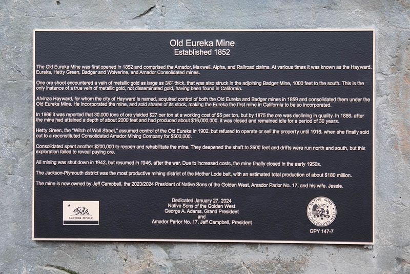
Inscription.
The Old Eureka Mine was first opened in 1852 and comprised the Amador, Maxwell, Alpha, and Railroad claims. At various times it was known as the Hayward, Eureka, Hetty Green, Badger and Wolverine, and Amador Consolidated mines.
One ore shoot encountered a vein of metallic gold as large as 3/8” thick, that was also struck in the adjoining Badger Mine, 1000 feet to the south. This is the only instance of a true vein of metallic gold, not disseminated gold, having been found in California.
Alvinza Hayward, for whom the city of Hayward is named, acquired control of both the Old Eureka and Badger mines in 1859 and consolidated them under the Old Eureka Mine. He incorporated the mine, and sold shares of its stock, making the Eureka the first mine in California to be so incorporated.
In 1866 it was reported that 30,000 tons of ore yielded $27 per ton at a working cost of $5 per ton, but by 1875 the ore was declining in quality. In 1886, after the mine had attained a depth of about 2000 feet and had produced about $16,000,000, it was closed and remained idle for a period of 30 years.
Hetty Green, the “Witch of Wall Street,” assumed control of the Old Eureka in 1902, but refused to operate or sell the property until 1916, when she finally sold out to a reconstituted Consolidated Amador Mining Company for $500,000.
Consolidated spent another $200,000 to reopen and rehabilitate the mine. They deepened the shaft to 3500 feet and drifts were run north and south, but this exploration failed to reveal paying ore.
All mining was shut down in 1942, but resumed in 1946, after the war. Due to increased costs, the mine finally closed in the early 1950s.
The Jackson-Plymouth district was the most productive mining district of the Mother Lode belt, with an estimated total production of about $180 million.
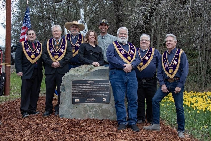
The mine is now owned by Jeff Campbell, the 2023/2024 President of Native Sons of the Golden West, Amador Parlor No. 17, and his wife, Jessie.
Native Sons of the Golden West
George A. Adams, Grand President
and
Amador Parlor No. 17, Jeff Campbell, President
Erected 2024 by Native Sons of the Golden West. (Marker Number 147-7.)
Topics and series. This historical marker is listed in this topic list: Industry & Commerce. In addition, it is included in the Native Sons/Daughters of the Golden West series list. A significant historical year for this entry is 1852.
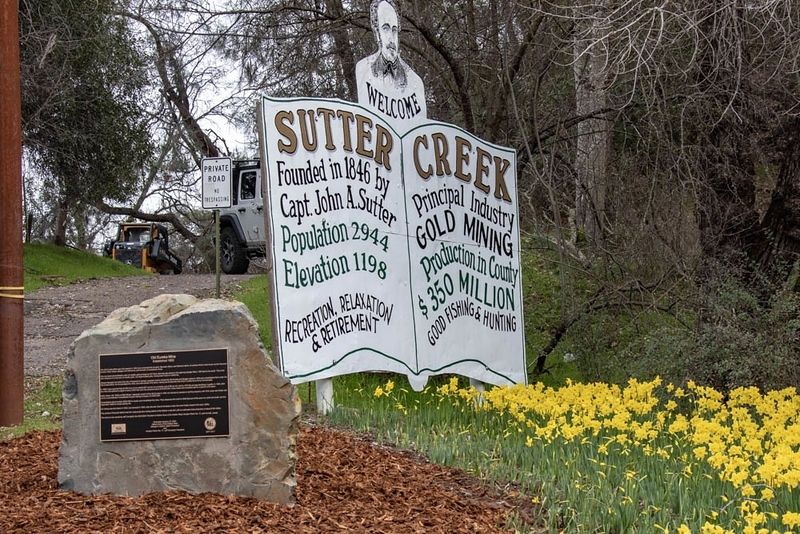
Location. 38° 23.359′ N, 120° 48.03′ W. Marker is in Sutter Creek, California, in Amador County. Marker is on Old Route 49, 0.8 miles north of Golden Chain Highway (California
Route 49), on the right. Touch for map. Marker is in this post office area: Sutter Creek CA 95685, United States of America. Touch for directions.
Other nearby markers. At least 8 other markers are within walking distance of this marker. A different marker also named Old Eureka Mine (a few steps from this marker); Hydroelectric Power in Amador County (within shouting distance of this marker); Miners' Bend Park (within shouting distance of this marker); Knight Scarifier – “The Scarifier that will scarify” (within shouting distance of this marker); Pine Woods (approx. 0.2 miles away); To Remember the Men of Amador County Who Died in The World War (approx. 0.2 miles away); Provis Park (approx. 0.2 miles away); Sutter Creek United Methodist Church (approx. 0.2 miles away). Touch for a list and map of all markers in Sutter Creek.
Additional keywords. Mines, Mining
Credits. This page was last revised on January 31, 2024. It was originally submitted on January 28, 2024, by James King of San Miguel, California. This page has been viewed 64 times since then. Photos: 1, 2, 3. submitted on January 28, 2024, by James King of San Miguel, California. • Andrew Ruppenstein was the editor who published this page.


