Batesburg-Leesville in Lexington County, South Carolina — The American South (South Atlantic)
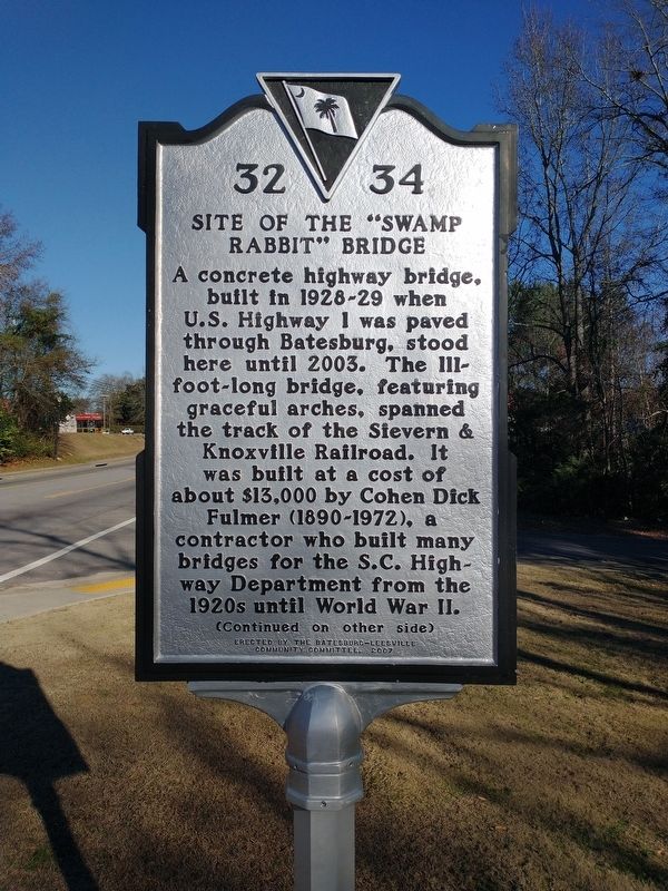
Site of the "Swamp Rabbit" Bridge / The Swamp Rabbit
A concrete highway bridge, built in 1928-29 when U.S. Highway 1 was paved through Batesburg, stood here until 2003. The 111-foot-long bridge, featuring graceful arches, spanned the track of the Sievern & Knoxville Railroad. It was built at a cost of $13,000 by Cohen Dick Fulmer (1890-1972) a contractor who built many bridges for the S.C. Highway Department from the 1920s until World War II.
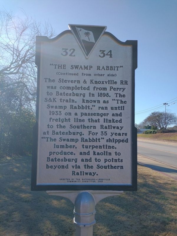
The Swamp Rabbit
The Sievern & Knoxville RR was completed from Perry to Batesburg in 1898. The S&K train, known as “The Swamp Rabbit,” ran until 1933 on a passenger and freight line that linked to the Southern Railway at Batesburg. For 35 years “The Swamp Rabbit” shipped lumber, turpentine, produce, and kaolin to Batesburg and to points beyond via the Southern Railway.
Erected 2007 by The Batesburg-Leesville Community Committee. (Marker Number 32 34.)
Topics. This historical marker is listed in these topic lists: Bridges & Viaducts • Railroads & Streetcars. A significant historical year for this entry is 2003.
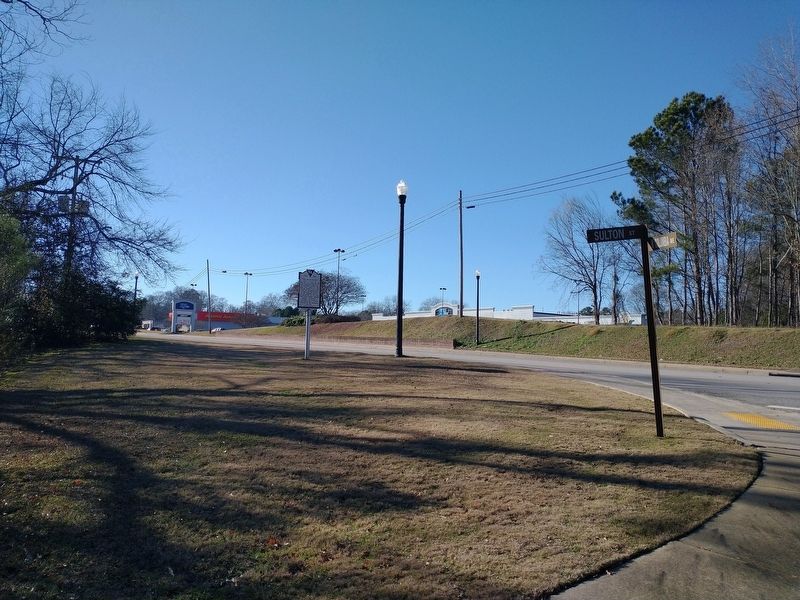
Location. 33° 54.537′ N, 81° 32.044′ W. Marker is in Batesburg-Leesville, South Carolina, in Lexington County. Marker is at the intersection of West Columbia Avenue (U.S. 1) and Sulton Street, on the right when traveling east on West Columbia Avenue. Touch for map. Marker is in this post office area: Batesburg SC 29006, United States of America. Touch for directions.
Other nearby markers. At least 8 other markers are within 7 miles of this marker, measured as the crow flies. Old Batesburg-Leesville High School (approx. 0.3 miles away); Lee's Tavern Site (approx. 0.4 miles away); Blinding of Isaac Woodard (approx. 0.9 miles away); Batesburg Institute (approx. one mile away); Hartley House (approx. one mile away); Moorefield Memorial Highway (approx. 4.2 miles away); Pinarea / Quattlebaum Sawmill, Flour Mill, and Rifle Factory (approx. 6.2 miles away); Jacob Odom House (approx. 6.3 miles away). Touch for a list and map of all markers in Batesburg-Leesville.
Also see . . . The Former "Swamp Rabbit" Line. (Submitted on January 12, 2024, by Tom Bosse of Jefferson City, Tennessee.)
Credits. This page was last revised on February 1, 2024. It was originally submitted on January 12, 2024, by Tom Bosse of Jefferson City, Tennessee. This page has been viewed 83 times since then. Last updated on January 31, 2024, by Tom Bosse of Jefferson City, Tennessee. Photos: 1, 2, 3. submitted on January 12, 2024, by Tom Bosse of Jefferson City, Tennessee. • Bernard Fisher was the editor who published this page.


