Brigham City in Box Elder County, Utah — The American Mountains (Southwest)
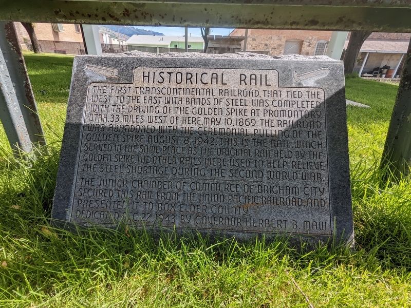
Historical Rail
The first transcontinental railroad, that tied the West to the East with bands of steel, was completed with the driving of the golden spike at Promontory Utah 33 miles west of here May 10, 1869. The railroad was abandoned with the ceremonial pulling of the golden spike August 8, 1942. This is the rail which served in the same place as the original rail held by the golden spike. The other rails were used to help relieve the steel shortage during the Second World War.
The Junior Chamber of Commerce of Brigham City secured this rail from the Union Pacific Railroad and presented it to Box Elder County.
Dedicated Dec 22, 1943 by Governor Herbert B. Maw.
Erected 1943.
Topics. This historical marker is listed in this topic list: Railroads & Streetcars. A significant historical date for this entry is May 10, 1869.
Location. 41° 30.616′ N, 112° 1.733′ W. Marker is in Brigham City, Utah, in Box Elder County. Marker is on 807 West Forest Street, on the left when traveling west. Touch for map. Marker is at or near this postal address: 807 W Forest Street, Brigham City UT 84302, United States of America. Touch for directions.
Other nearby markers. At least 8 other markers are within one mile of this marker, measured as the crow flies. Union Pacific Depot-Built 1907 (within shouting distance of this marker); Erected in Honor of Brigham Young (approx. half a mile away); A Pioneer Home (approx. half a mile away); Brigham City Co-Op (approx. half a mile away); Brigham City Co-op Store (approx. 0.7 miles away); Box Elder Fort (approx. 0.7 miles away); Brigham City Fire Station/City Hall (approx. 0.7 miles away); Historic Brigham City Relief Society Granary (approx. one mile away). Touch for a list and map of all markers in Brigham City.
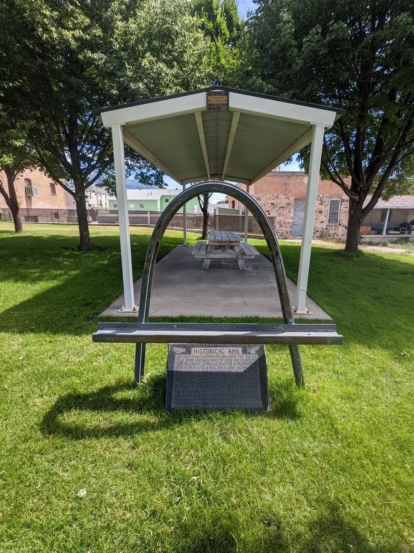
More about this marker. The marker is in the landscaped area about 100 feet east of the depot.
Credits. This page was last revised on February 6, 2024. It was originally submitted on February 6, 2024, by Jeremy Snow of Cedar City, Utah. This page has been viewed 41 times since then. Photos: 1, 2. submitted on February 6, 2024, by Jeremy Snow of Cedar City, Utah. • Andrew Ruppenstein was the editor who published this page.

