Kingston in Piute County, Utah — The American Mountains (Southwest)
Kingston Ward
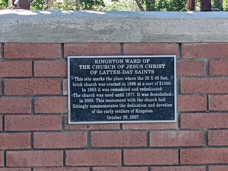
Photographed by Jeremy Snow, July 6, 2023
1. Kingston Ward Marker
Kingston Ward of the Church of Jesus Christ of Latter-Day Saints
This site marks the place where the 26 X 48 foot, brick church was erected in 1896 at a cost of $1500. In 1953 it was remodeled and rededicated. The church was used until 1977. It was demolished in 2005. This monument with the church bell fittingly commemorates the dedication and devotion of the early settlers of Kingston.
October 29, 2007
Erected 2007.
Topics. This historical marker is listed in this topic list: Religion & Religious Structures. A significant historical year for this entry is 1896.
Location. 38° 12.429′ N, 112° 11.256′ W. Marker is in Kingston, Utah, in Piute County. It is at the intersection of Center Street and W 100 S Street, on the right when traveling south on Center Street. Touch for map. Marker is in this post office area: Junction UT 84740, United States of America. Touch for directions.

Regionally, this marker is in andspecifically he Central Utah Valleys in Color Country. It is also in the American Mountain West and on the Colorado Plateau. Globally, it is in North America, the Western Hemisphere, the Western World,
this page online
Other nearby markers. At least 8 other markers are within 8 miles of this marker, measured as the crow flies: The Fish Lake Cut-off on the Old Spanish Trail (approx. 1.9 miles away); Piute County Courthouse (approx. 2.7 miles away); The Circleville Massacre (approx. 5.1 miles away); Circleville Massacre Monument (approx. 5.1 miles away); Circleville Veterans Memorial (approx. 5.1 miles away); Circleville (approx. 5.1 miles away); "The Paiute Trail Story" (approx. 7.7 miles away); Trade with the Native Americans (approx. 7.7 miles away).
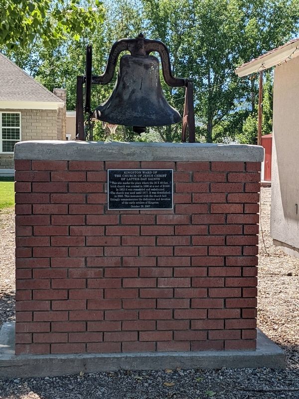
Photographed by Jeremy Snow, July 6, 2023
2. Kingston Ward Marker and Bell
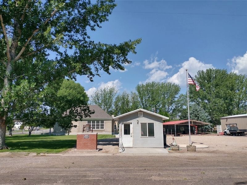
Photographed by Tom Bosse, July 27, 2024
3. Kingston Ward Marker
Credits. This page was last revised on November 23, 2024. It was originally submitted on February 6, 2024, by Jeremy Snow of Cedar City, Utah. This page has been viewed 213 times since then and 10 times this year. Photos: 1, 2. submitted on February 6, 2024, by Jeremy Snow of Cedar City, Utah. 3. submitted on November 10, 2024, by Tom Bosse of Jefferson City, Tennessee. • Andrew Ruppenstein was the editor who published this page.
