Near Orangeville in Emery County, Utah — The American Mountains (Southwest)
Black Diamond & Oliphant Coal Mines
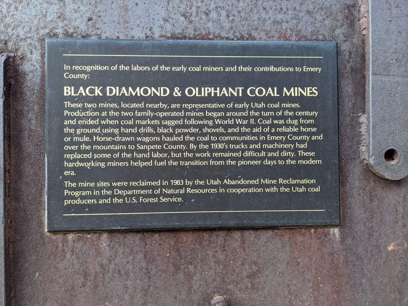
In recognition of the labors of the early coal miners and their contributions to Emery County:
Black Diamond & Oliphant Coal Mines
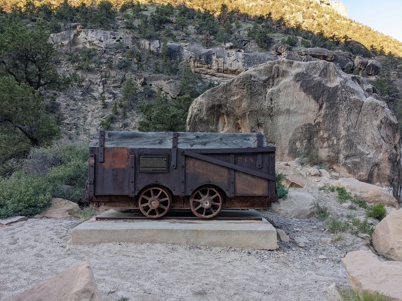
These two mines, located nearby, are representative of early Utah coal mines. Production at the two family-operated mines began around the turn of the century and ended when coal markets sagged following World War II. Coal was dug from the ground using hand drills, black powder, shovels, and the aid of a reliable horse or mule. Horse-drawn wagons hauled the coal to communities in Emery County and over the mountains to Sanpete County. By the 1930's trucks and machinery had replaced some of the hand labor, but the work remained difficult and dirty. These hardworking miners helped fuel the transition from the pioneer days to the modern era.
The mine sites were reclaimed in 1983 by the Utah Abandoned Mine Reclamation Program in the Department of Natural Resources in cooperation with the Utah coal producers and the U.S. Forest Service.
Topics. This historical marker is listed in this topic list: Industry & Commerce. A significant historical year for this entry is 1983.
Location. 39° 16.473′ N, 111° 12.351′ W. Marker is near Orangeville, Utah, in Emery County. Marker is on Utah 29, on the right when traveling south. Touch for map. Marker is at or near this postal address: UT-29, Orangeville UT 84537, United States of America. Touch for directions.
Other nearby markers. At least 6 other markers are within 14 miles of this marker, measured as the crow flies. First Public Building in Orangeville (approx. 8.7 miles away); Old Social Hall (approx. 8.8 miles away); First Settlers in Castle Dale (approx. 11.2 miles away); Huntington (approx. 11.7 miles away); Ferron Academy (approx. 13.1 miles away); Ferron Pioneers (approx. 13.2 miles away).
Credits. This page was last revised on February 7, 2024. It was originally submitted on February 6, 2024, by Jeremy Snow of Cedar City, Utah. This page has been viewed 95 times since then. Photos: 1, 2. submitted on February 6, 2024, by Jeremy Snow of Cedar City, Utah. • Andrew Ruppenstein was the editor who published this page.

