Huntington in Emery County, Utah — The American Mountains (Southwest)
Wattis
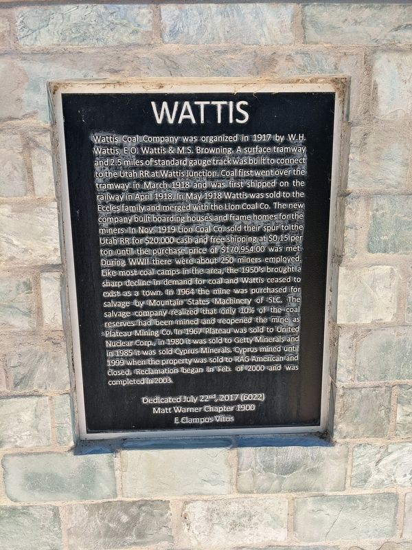
Wattis Coal Company was organized in 1917 by W.H. Wattis, E.O. Wattis & M.S. Brownin. A surface tramway and 2.5 miles of standard gauge track was built to connect to the Utah RR at Wattis Junction. Coal first went over the tramway in March 1918 and was first shipped on the railway in April 1918. In May 1918 Wattis was sold to the Eccles family and merged with the Lion Coal Co. The new company built boarding houses and frame homes for the miners In Nov. 1919 Lion Coal Co. sold their spur to the Utab RR for $20,000 cash and free shipping at $0.15 per ton until the purchase price of $170,954.00 was met. During WWII there were about 250 miners employed. Like most coal camps in the area, the 1950's brought a sharp decline in demand for coal and Wattis ceased to exist as a town. In 1964 the mine was purchased for salvage by Mountain States Machinery of SLC. The salvage company realized that only 10% of the coal reserves had been mined and reopened the mine as Plateau Mining Co. In 1967 Plateau was sold to United Nuclear Corp., in 1980 it was sold to Getty Minerals and in 1985 it was sold Cyprus Minerals. Cyprus mined until 1999 when the property was sold to RAG American and closed. Reclamation began in Feb. of 2000 and was completed in 2003.
Dedicated July 22nd, 2017 (6022)
Matt Warner Chapter 1900
E Clampus Vitus
Erected 2017 by E Clampus Vitus Matt Warner Chapter 1900.
Topics and series. This historical marker is listed in this topic list: Industry & Commerce. In addition, it is included in the E Clampus Vitus series list. A significant historical year for this entry is 1917.
Location. 39° 20.829′ N, 110° 56.558′ W. Marker is in Huntington, Utah, in Emery County. Marker can be reached from Mohrland Road. Touch for map. Marker is at or near this postal address: 1120 Mohrland Road, Huntington UT 84528, United States of America. Touch for directions.
Other nearby markers. At least 8 other markers are within 2 miles of this marker, measured as the crow flies. Mohrland (a few steps from this marker); Desert Lake-Victor (a few steps from this marker); Hiawatha (within shouting distance of this marker); Robber's Roost (within shouting distance of this marker); North Emery High School (approx. 1.8 miles away); Huntington's First Meeting House (approx. 1.8 miles away); Old Bell (approx. 1.9 miles away); Old Ranger Station (approx. 1.9 miles away). Touch for a list and map of all markers in Huntington.
Credits. This page was last revised on February 12, 2024. It was originally submitted on February 6, 2024, by Jeremy Snow of Cedar City, Utah. This page has been viewed 60 times since then. Photo 1. submitted on February 6, 2024, by Jeremy Snow of Cedar City, Utah. • Andrew Ruppenstein was the editor who published this page.
Editor’s want-list for this marker. Photo of marker within its surroundings • Can you help?
