Milford in Beaver County, Utah — The American Mountains (Southwest)
Milford Stamp Mill
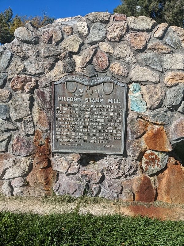
Photographed by Jeremy Snow, October 14, 2023
1. Milford Stamp Mill Marker
The Milford stamp or A.G. Campbell mill was erected in the fall of 1873 at a cost of $45,000. It was designed to work the ores of the Old Hickory Mine. In 1873-74 the mill ran successfully for five months. They used a 60 horse power engine, two horizontal boilers, a Dodge rock-crusher, wooden pans, iron settlers, and a retort. Freighters, bringing ore from the east mountains, had to ford the river, hence, the name Milford. Arvin M. Stoddard was the first settler.
Silver Desert Camp Beaver Co.
Erected 1946 by Daughters of Utah Pioneers. (Marker Number 91.)
Topics and series. This historical marker is listed in these topic lists: Industry & Commerce • Settlements & Settlers. In addition, it is included in the Daughters of Utah Pioneers series list.
Location. 38° 23.685′ N, 113° 0.756′ W. Marker is in Milford, Utah, in Beaver County. It is on South 100 West Street, on the right. The marker is mounted to a stone monument on the grounds of the Milford Library. Touch for map. Marker is at or near this postal address: 400 S 100 W Street, Milford UT 84751, United
this page online

Regionally, this marker is in Color Country and in the West Desert. It is also in the American Mountain West and on the Colorado Plateau. Globally, it is in North America, the Western Hemisphere, the Western World, and the Anglosphere. Historically, it finds itself in what was once New Spain and also Mexico’s Alta California.
Other nearby markers. At least 4 other markers are within 14 miles of this marker, measured as the crow flies: Milford's Historical Park (about 400 feet away, measured in a direct line); The Lincoln Mine (approx. 13.3 miles away); Minersville Veterans Memorial (approx. 13.3 miles away); The Grist Mill (approx. 13.6 miles away).
Credits. This page was last revised on February 8, 2024. It was originally submitted on February 6, 2024, by Jeremy Snow of Cedar City, Utah. This page has been viewed 249 times since then and 31 times this year. Photo 1. submitted on February 6, 2024, by Jeremy Snow of Cedar City, Utah. • Andrew Ruppenstein was the editor who published this page.
