Near Minersville in Beaver County, Utah — The American Mountains (Southwest)
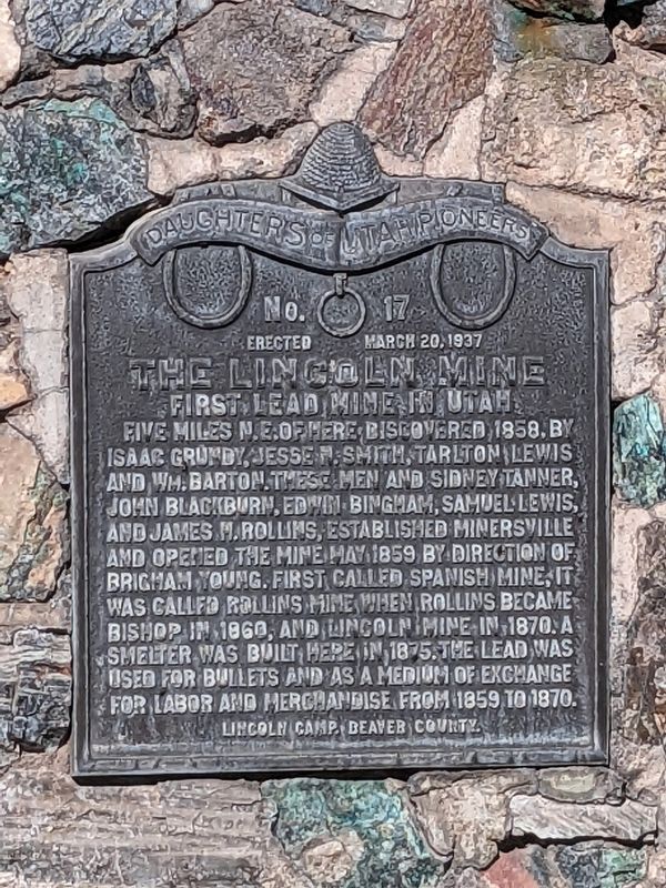
The Lincoln Mine
First lead mine in Utah
The Lincoln Mine
No. 17
Erected March 20, 1937
First lead mine in Utah
Five miles N.E. of here, discovered 1858, by Isaac Grundy, Jesse Smith, Tarlton Lewis and Wm. Barton. These men and Sidney Tanner, John Blackburn, Edwin Bingham, Samuel Lewis, and Jmes M. Rollins, established Minersville and opened the mine May 1859 by direction of Brighan Young. First called Spanish Mine, it was called Rollins Mine when Rollins became bishop in 1860, and Lincoln Mine in 1870. A smelter was built here in 1875. The lead was used for bullets and as a medium of exchange to for labor and merchandise from 1859 to 1870.
Lincoln Camp. Beaver County.
Erected 1937 by Daughters of Utah Pioneers. (Marker Number 17.)
Topics. This historical marker is listed in these topic lists: Industry & Commerce • Settlements & Settlers. A significant historical date for this entry is March 20, 1937.
Location. 38° 12.938′ N, 112° 55.562′ W. Marker is near Minersville, Utah, in Beaver County. Marker is at the intersection of Main Street and N 100 W Street, on the right when traveling west on Main Street. Touch for map. Marker is at or near this postal address: 113 Main Street, Minersville UT 84752, United States of America. Touch for directions.
Other nearby markers. At least 3 other markers are within 14 miles of this marker, measured as the crow flies. The Grist Mill (approx. ¾ mile away); Milford's Historical Park (approx. 13.2 miles away); Milford Stamp Mill (approx. 13.3 miles away).
Credits. This page was last revised on February 8, 2024. It was originally submitted on February 6, 2024, by Jeremy Snow of Cedar City, Utah. This page has been viewed 54 times since then. Photo 1. submitted on February 6, 2024, by Jeremy Snow of Cedar City, Utah. • Andrew Ruppenstein was the editor who published this page.
Editor’s want-list for this marker. photo of the marker within its surroundings • Can you help?
