Adamsville in Beaver County, Utah — The American Mountains (Southwest)
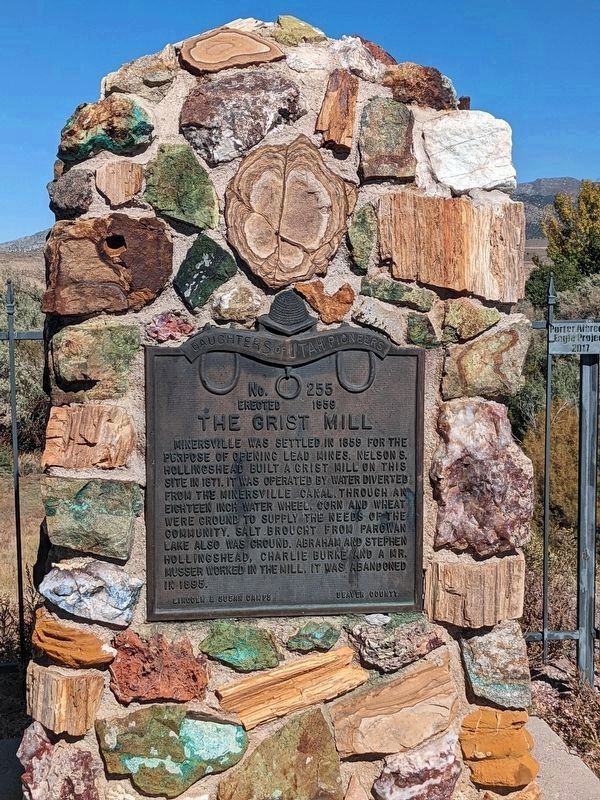
The Grist Mill
Inscription.
No. 255
Erected 1959
The Grist Mill
Minersville was settled in 1859 for the purpose of opening lead mines. Nelson S. Hollingshead built a grist hill on this site in 1871. It was operated by water diverted from the Minersville canal. Through an eighteen inch water wheel, corn and wheat were ground to supply the needs of the community. Salt brought from Parowan Lake also was ground. Abraham and Stephen Hollingshead, Charlie Burke and a Mr. Musser worked in the mill. It was abandoned in 1895.
Lincoln and Susan Camps Beaver County
Erected 1959 by Daughters of Utah Pioneers. (Marker Number 255.)
Topics and series. This historical marker is listed in these topic lists: Industry & Commerce • Settlements & Settlers. In addition, it is included in the Daughters of Utah Pioneers series list. A significant historical year for this entry is 1871.
Location. 38° 12.872′ N, 112° 54.738′ W. Marker is in Adamsville, Utah, in Beaver County. Marker is on West 1100 South, on the right when traveling west. Touch for map. Marker is in this post office area: Minersville UT 84752, United States of America. Touch for directions.
Other nearby markers. At least 3 other markers are within 14 miles of this marker, measured as the crow flies. The Lincoln Mine (approx. ¾ mile away); Milford's Historical Park (approx. 13½ miles away); Milford Stamp Mill (approx. 13.6 miles away).
Credits. This page was last revised on February 8, 2024. It was originally submitted on February 6, 2024, by Jeremy Snow of Cedar City, Utah. This page has been viewed 55 times since then. Photo 1. submitted on February 6, 2024, by Jeremy Snow of Cedar City, Utah. • Andrew Ruppenstein was the editor who published this page.
Editor’s want-list for this marker. photo of the marker within its surroundings • Can you help?
