St. George in Washington County, Utah — The American Mountains (Southwest)
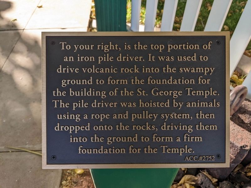
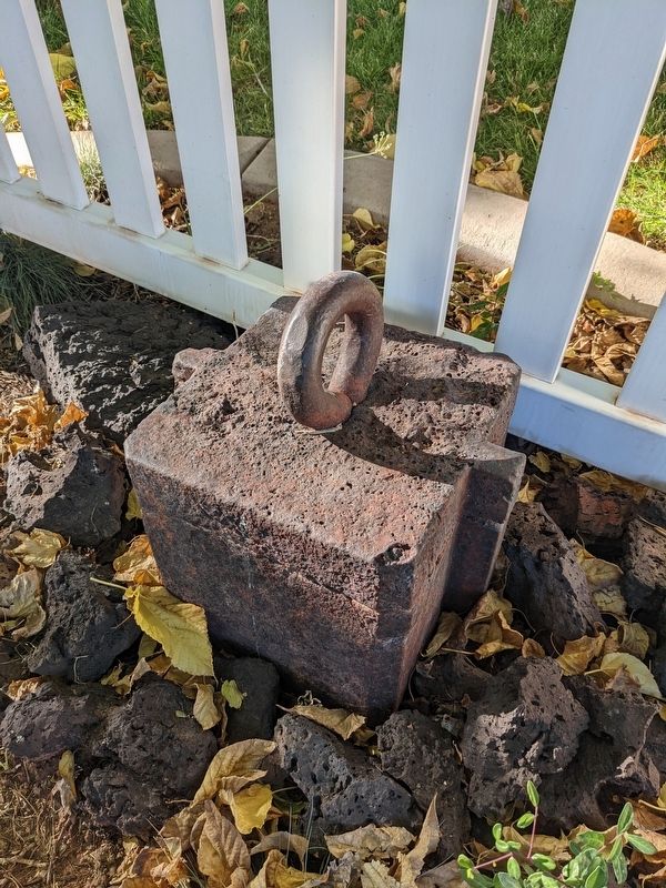
Iron Pile Driver
Photographed by Jeremy Snow, November 9, 2023
1. Iron Pile Driver Marker
ACC.#2752
Topics. This historical marker is listed in this topic list: Settlements & Settlers. A significant historical year for this entry is 1871.
Location. 37° 6.638′ N, 113° 34.877′ W. Marker is in St. George, Utah, in Washington County. It is on North 100 East. Touch for map. Marker is at or near this postal address: 168 N 100 E, Saint George UT 84770, United States of America. Touch for directions.

Regionally, this marker is in Color Country. It is also in the American Southwest, in the Mountain West, and on the Colorado Plateau. Globally, it is in North America, the Rocky Mountains, the Western Hemisphere, the Western World, and the Anglosphere. Historically, it finds itself in what was once New Spain and also Mexico’s Alta California.
Other nearby markers. At
this page online
Photographed by Jeremy Snow, November 9, 2023
2. Iron Pile Driver
Credits. This page was last revised on February 26, 2024. It was originally submitted on February 6, 2024, by Jeremy Snow of Cedar City, Utah. This page has been viewed 177 times since then and 23 times this year. Photos: 1, 2. submitted on February 6, 2024, by Jeremy Snow of Cedar City, Utah. • Bill Pfingsten was the editor who published this page.
