Near Florissant in Teller County, Colorado — The American Mountains (Southwest)
Fierce Competition
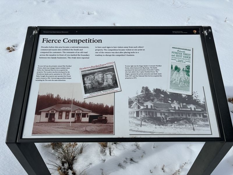
Captions: To your left was the privately-owned Pike Petrified Forest, which had changed names multiple times before the National Park Service acquired the property. The location was first developed by the Henderson family and in operation by 1922. John Baker bought the property and operated the Forest until it closed in 1961. Several large petrified stumps including the Trio were the main attractions.
To your right was the Singer family's Colorado Petrified Forest, which featured the Big Stump. The family purchased the land and business from John Coplen, who had called it the Coplen Petrified Forest. The Singers operated the private attraction and dude ranch from 1927 until the National Park Service acquired the property in 1973.
Erected by National Park Service.
Topics. This historical marker is listed in this topic list: Industry & Commerce. A significant historical year for this entry is 1922.
Location. 38° 55.027′ N, 105° 17.015′ W. Marker is near Florissant, Colorado, in Teller County. Marker can be reached from County Route 1 south of County Route 421. Touch for map. Marker is at or near this postal address: 15807 County Road 1, Florissant CO 80816, United States of America. Touch for directions.
Other nearby markers. At least 8 other markers are within walking distance of this marker. What If? (within shouting distance of this marker); The Big Stump (approx. 0.2 miles away); Charlotte Hill (approx. 0.2 miles away); Making of a Monument (approx. ¼ mile away); Ancient Forest Diversity (approx. ¼ mile away); Valley Through Time (approx. ¼ mile away); Stumps of Stone (approx. ¼ mile away); Is the Trio in Trouble? (approx. 0.3 miles away). Touch for a list and map of all markers in Florissant.
Credits. This page was last revised on February 8, 2024. It was originally submitted on February 6, 2024, by Connor Olson of Kewaskum, Wisconsin. This page has been viewed 37 times since then. Photo 1. submitted on February 6, 2024, by Connor Olson of Kewaskum, Wisconsin. • Andrew Ruppenstein was the editor who published this page.
Editor’s want-list for this marker. photo of the marker and surroundings • Can you help?
