University in Salt Lake City in Salt Lake County, Utah — The American Mountains (Southwest)
David P. Gardner Hall
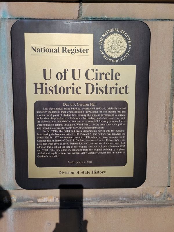
U of U Circle Historic District
National Register
U of U Circle Historic District
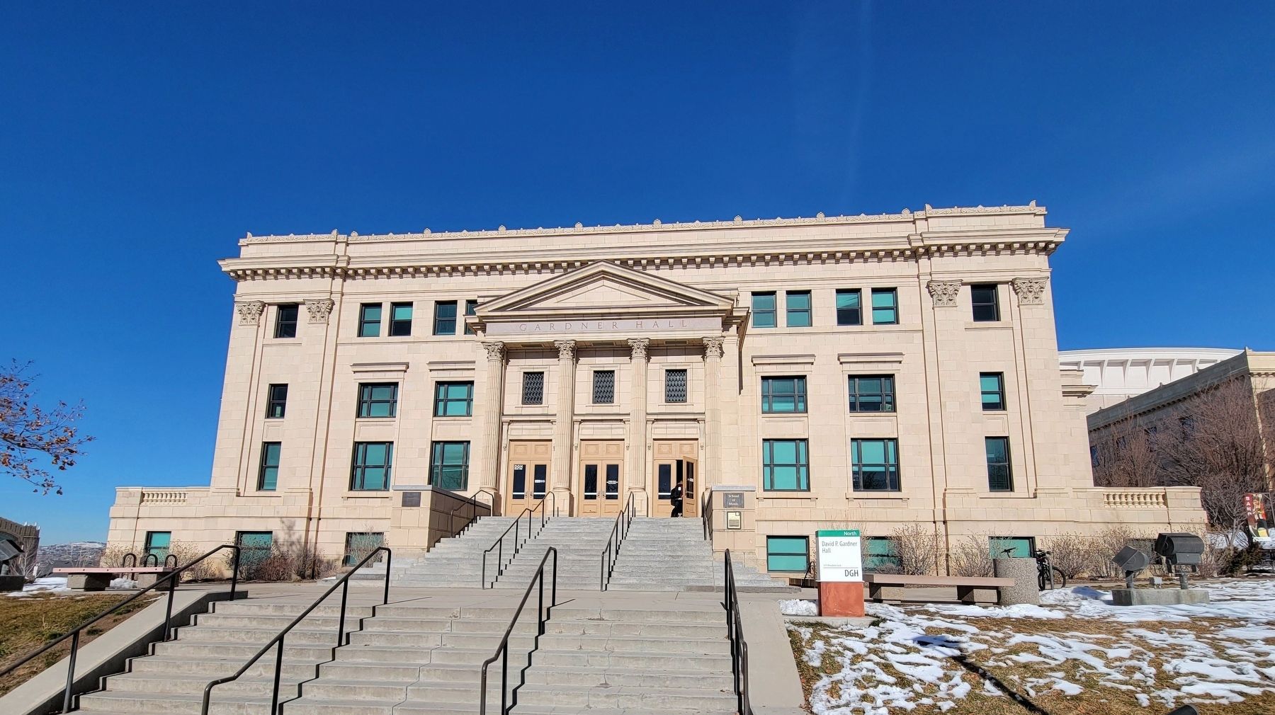
David P. Gardner Hall
This Neoclassical stone building, constructed 1930-31, originally served university students as their Union Building. It was paid for with student fees and was the focal point of student life, housing the student government, a student lobby, the college cafeteria, a ballroom, a barbershop, and a hair salon. In 1943, the cafeteria was remodeled to function as a mess hall for army personnel who were housed on campus throughout World War II. At the same time, the top floor was turned into offices for Ninth Service Command personnel.
In the 1950s, the ballet and music departments moved into the building, later sharing the basement with KUED Channel 7. The building was renamed the Music Hall in 1957 and remained so until 1980, when the name was changed to Gardner Hall in honor of David P. Gardner, who served as the University's tenth president from 1973 to 1983. Renovations and construction of a new concert hall addition that doubled the size of the original structure took place between 1997 and 2000. The new addition, separated from the original building by a glass-walled and sky-lit atrium, was named Libby Gardner Concert Hall in honor of FeducGardner's late wife.
Marker placed in 2001
Division of State History
Erected 2001 by Division of State History.
Topics. This historical marker is listed in these topic lists: Arts, Letters, Music • Education. A significant historical year for this entry is 1930.
Location. 40° 45.943′ N, 111° 51.101′ W. Marker is in Salt Lake City, Utah, in Salt Lake County. It is in University. Marker is on Presidents' Circle, on the right when traveling west. Touch for map. Marker is at or near this postal address: 269 Presidents' Circle, Salt Lake City UT 84112, United States of America. Touch for directions.
Other nearby markers. At least 8 other markers are within walking distance of this marker. Pioneer Rock Wall (about 400 feet away, measured in a direct line); Fire Station No. 8 (approx. 0.2 miles away); Sisters of the Holy Cross (approx. half a mile away); Emma Eccles Jones Plaza (approx. half a mile away); Fort Douglas (approx. 0.9 miles away); Fort Douglas Commanders House (approx. 0.9 miles away); Fort Douglas Post Chapel (approx. 0.9 miles away); Fort Douglas Officers Quarters (approx. 0.9 miles away). Touch for a list and map of all markers in Salt Lake City.
Credits. This page was last revised on February 9, 2024. It was originally submitted on February 6, 2024, by Jeremy Snow of Cedar City, Utah. This page has been viewed 43 times since then. Photos: 1, 2. submitted on February 6, 2024, by Jeremy Snow of Cedar City, Utah. • Andrew Ruppenstein was the editor who published this page.

