Near Breckenridge in Summit County, Colorado — The American Mountains (Southwest)
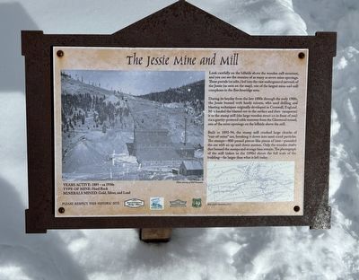
The Jessie Mine and Mill
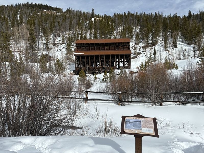
During its heyday from the late 1880s through the early 1900s, the Jessie buzzed with hardy miners, who used drilling and blasting techniques originally developed in Cornwall, England. Men hauled the blasted ore to the surface and then transported it to the stamp mill (the large wooden structure in front of you) via a gravity-powered cable tramway from the Glenwood tunnel, one of the mine openings on the hillside above the mill.
Built in 1893-94, the stamp mill crushed large chunks of "run-of-mine" ore, breaking it down into sand-sized particles. The stamps—800-pound piston-like pieces of iron-pounded the ore with an up-and-down motion. Only the wooden shafts that housed the stamps and storage bins remain. The photograph of the mill (taken in the 1890s) shows the full scale of the building far larger than what is left today.
Erected by Breckenridge Heritage Alliance; Summit County Open Space and Trails; Town of Breckenridge; US Forest Service.
Topics. This historical marker is listed in this topic list: Industry & Commerce. A significant historical year for this entry is 1893.
Location. 39° 30.651′ N, 106° 1.254′ W. Marker is near Breckenridge, Colorado, in Summit County. Marker can be reached from Gold Run Road south of Glen Eagle Loop. Touch for map. Marker is in this post office area: Breckenridge CO 80424, United States of America. Touch for directions.
Other nearby markers. At least 8 other markers are within 3 miles of this marker, measured as the crow flies. The Wedding House (approx. 2.2 miles away); William Harrison Briggle House (approx. 2.3 miles away); Summit County Courthouse (approx. 2.3 miles away); The Exchange (approx. 2.4 miles away); St. Mary's Church (approx. 2.4 miles away); The Hearthstone (approx. 2.4 miles away); Barney L. Ford (approx. 2˝ miles away); Riverwalk - Blue River Restoration (approx. 2˝ miles away). Touch for a list and map of all markers in Breckenridge.
Credits. This page was last revised on February 7, 2024. It was originally submitted on February 7, 2024, by Connor Olson of Kewaskum, Wisconsin. This page has been viewed 40 times since then. Photos: 1, 2. submitted on February 7, 2024, by Connor Olson of Kewaskum, Wisconsin. • Andrew Ruppenstein was the editor who published this page.

