Knox in Starke County, Indiana — The American Midwest (Great Lakes)
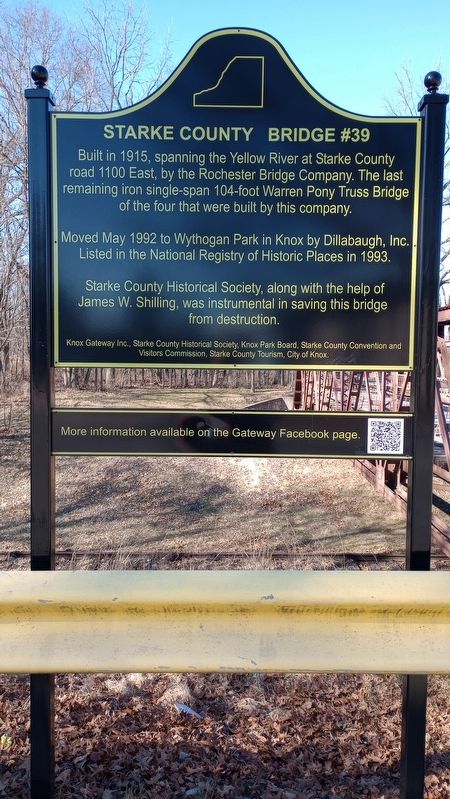
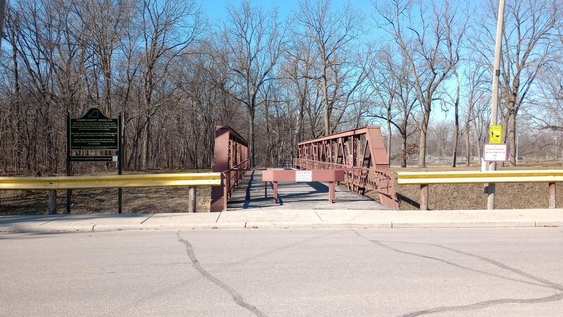
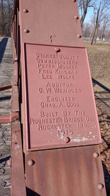
Starke County Bridge #39
Moved May 1992 to Wythogan Park in Knox by Dillabaugh, Inc. Listed in the National Registry of Historic Places in 1993.
Starke County Historical Society, along with the help of James W. Shilling, was instrumental in saving this bridge from destruction.
Erected by Knox Gateway Inc., Starke County Historical Society, Knox Park Board, Starke County Convention and Visitors Commission, Starke County Tourism, City of Knox.
Topics. This historical marker is listed in this topic list: Bridges & Viaducts. A significant historical month for this entry is May 1992.
Location. 41° 18.01′ N, 86° 37.398′ W. Marker is in Knox, Indiana, in Starke County. Marker is on East Water Street, on the left when traveling east. Touch for map. Marker is at or near this postal address: 53 E Water Street, Knox IN 46534, United States of America. Touch for directions.
Other nearby markers. At least 8 other markers are within walking distance of this marker. Site At Which Starke County Was Organized (a few steps from this marker); Lincoln's Gettysburg Address (about 600 feet away, measured in a direct line); Starke County Honor Rolls (about 600 feet away); These Surplus Guns (about 600 feet away); Veterans Memorial Plaza (about 600 feet away); The 18 Pounder Long Gun (about 600 feet away); PFC Frank H. Ono (about 700 feet away); Watchman's Tower (about 700 feet away). Touch for a list and map of all markers in Knox.
Credits. This page was last revised on February 22, 2024. It was originally submitted on February 9, 2024, by Craig Doda of Napoleon, Ohio. This page has been viewed 40 times since then. Photos: 1, 2, 3. submitted on February 9, 2024, by Craig Doda of Napoleon, Ohio. • Andrew Ruppenstein was the editor who published this page.


