Elkton in St. Johns County, Florida — The American South (South Atlantic)
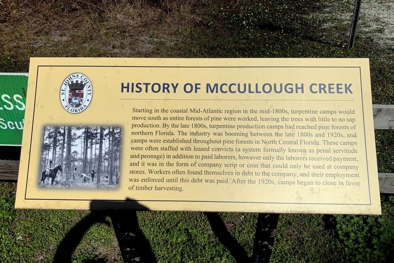
History of McCullough Creek
Starting in the coastal Mid-Atlantic region in the mid-1800s, turpentine camps would move south as entire forests of pine were worked, leaving the trees with little to no sap production. By the late 1800s, turpentine production camps had reached pine forests of northern Florida. The industry was booming between the late 1800s and 1920s, and camps were established throughout pine forests in North Central Florida. These camps were often staffed with leased convicts (a system formally known as penal servitude and peonage) in addition to paid laborers, however only the laborers received payment, and it was in the form of company scrip or coin that could only be used at company stores. Workers often found themselves in debt to the company, and their employment was enforced until this debt was paid. After the 1920s, camps began to close in favor of timber harvesting.
Erected by St. Johns County.
Topics. This historical marker is listed in this topic list: Horticulture & Forestry.
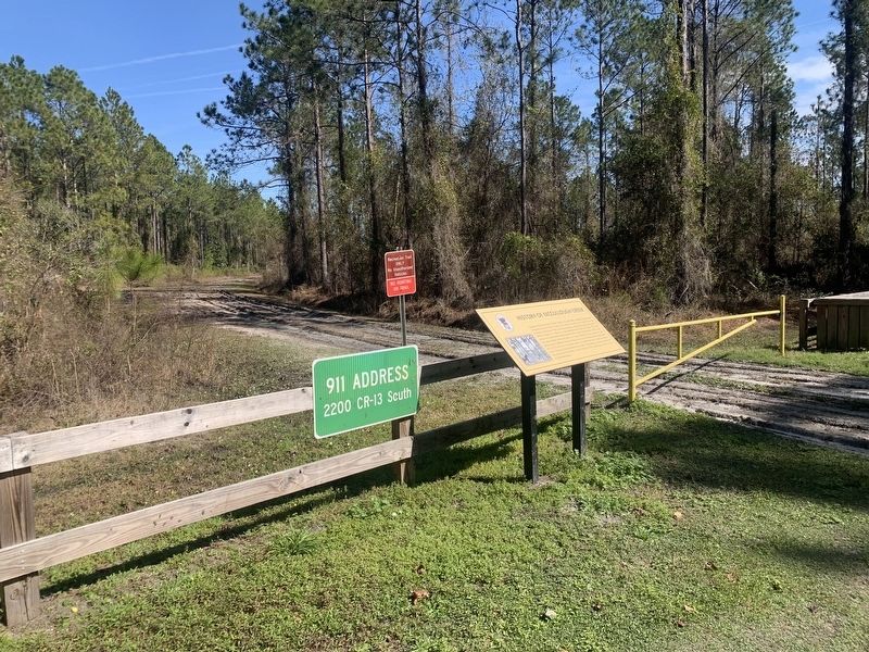
Location. 29° 47.926′ N, 81° 32.094′ W. Marker is in Elkton, Florida, in St. Johns County. Marker is on County Route 13 S, 2.2 miles west of County Route 305, on the right. Marker can be found in the McCullough Creek Conservation Area West parking area. Touch for map. Marker is at or near this postal address: 2200 CR 13 S, Elkton FL 32033, United States of America. Touch for directions.
Other nearby markers. At least 8 other markers are within 7 miles of this marker, measured as the crow flies. A different marker also named History of McCullough Creek (approx. 1.4 miles away); St. Ambrose Parish (approx. 4.1 miles away); Hastings Railroad (approx. 5.9 miles away); a different marker also named Hastings Railroad (approx. 5.9 miles away); John Henry “Pop” Lloyd (approx. 6.1 miles away); Derrick Ramsey (approx. 6.1 miles away); Billy Graham (approx. 6.2 miles away); The Bostwick School (approx. 6.2 miles away). Touch for a list and map of all markers in Elkton.
Also see . . . McCullough Creek. St. John's County website entry (Submitted on February 9, 2024, by Tim Fillmon of Webster, Florida.)
Credits. This page was last revised on April 6, 2024. It was originally submitted on February 9, 2024, by Tim Fillmon of Webster, Florida. This page has been viewed 42 times since then. Photos: 1, 2. submitted on February 9, 2024, by Tim Fillmon of Webster, Florida.

