Woodcreek near Wilmington in New Castle County, Delaware — The American Northeast (Mid-Atlantic)
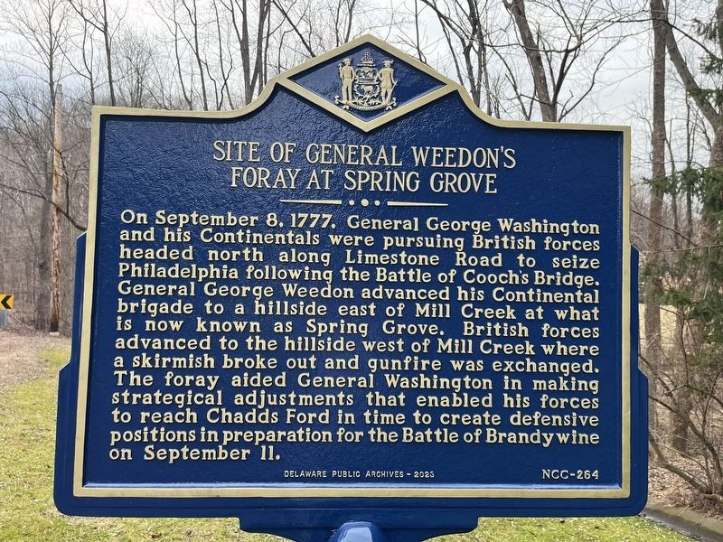
Site of General Weedon's Foray at Spring Grove

Photographed By Devry Becker Jones (CC0), February 10, 2024
1. Site of General Weedon's Foray at Spring Grove Marker
Erected 2023 by Delaware Public Archives. (Marker Number NCC-264.)
Topics and series. This historical marker is listed in this topic list: War, US Revolutionary. In addition, it is included in the Delaware Public Archives series list. A significant historical date for this entry is September 8, 1777.
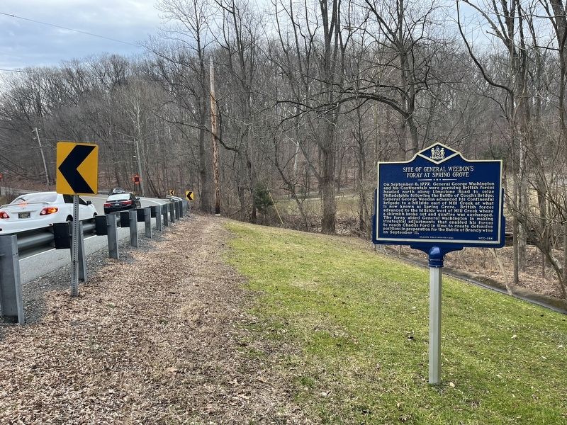
Location. 39° 45.016′ N, 75° 40.793′ W. Marker is near Wilmington, Delaware, in New Castle County. It is in Woodcreek. Marker is on Stoney Batter Road, 0.2 miles west of Millcreek Road, on the right when traveling east. Touch for map. Marker is at or near this postal address: 3102 Stoney Batter Rd, Wilmington DE 19808, United States of America. Touch for directions.
Other nearby markers. At least 8 other markers are within 2 miles of this marker , measured as the crow flies. Former Site of the Delcastle Prison Farm (approx. 1.1 miles away); Delcastle (approx. 1.2 miles away); The William Montgomery House (approx. 1.4 miles away); St. Mary's Church (approx. 1.7 miles away); Brandywine Springs (approx. 1.9 miles away); Eastburn-Jeanes Mining Complex (approx. 1.9 miles away); Camp DuPont (approx. 2 miles away); The Daniel Nichols House (approx. 2.1 miles away). Touch for a list and map of all markers in Wilmington.

Photographed By Devry Becker Jones (CC0), February 10, 2024
2. Site of General Weedon's Foray at Spring Grove Marker
Credits. This page was last revised on February 11, 2024. It was originally submitted on February 11, 2024, by Devry Becker Jones of Washington, District of Columbia. This page has been viewed 76 times since then. Photos: 1, 2. submitted on February 11, 2024, by Devry Becker Jones of Washington, District of Columbia.