Saint Helena Island in Beaufort County, South Carolina — The American South (South Atlantic)
Fort Fremont
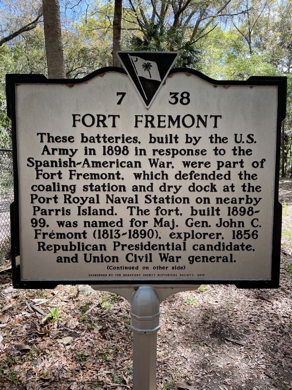
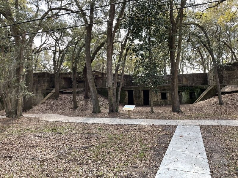
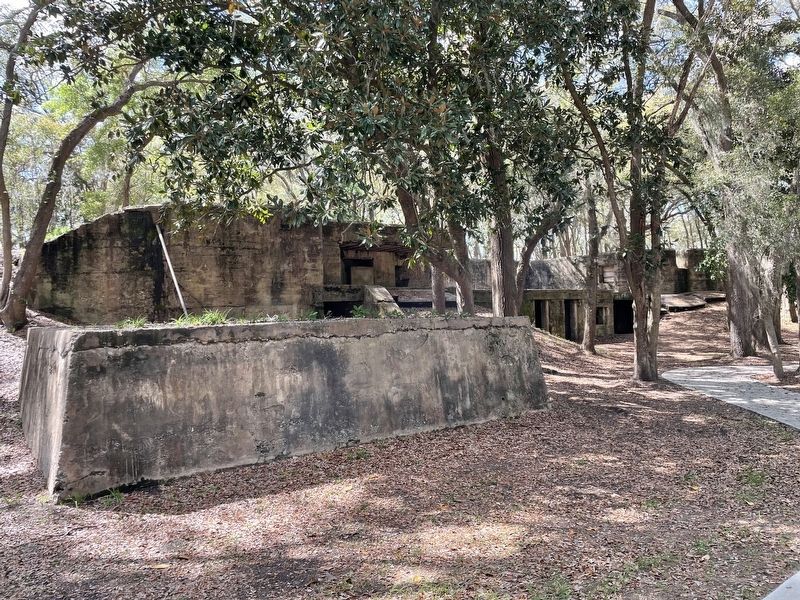
These batteries, built by the U.S. Army in 1898 in response to the Spanish-American War, were part of Fort Fremont, which defended the coaling station and dry dock at the Port Royal Naval Station on nearby Parris Island. The fort, built 1898-99, was named for Maj. Gen. John C. Frémont (1813-1890), explorer. 1856 Republican Presidential candidate, and Union Civil War general.
(Continued on other side)
(Marker Rear:)
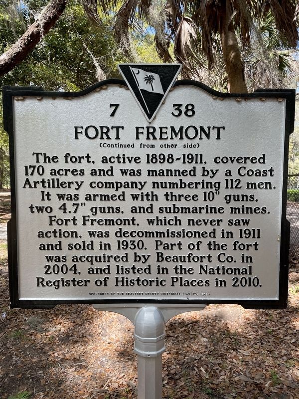
(Continued from other side)
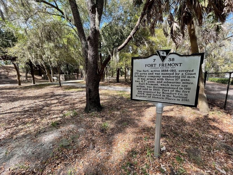
The fort, active 1898-1911, covered 170 acres and was manned by a Coast Artillery company numbering 112 men. It was armed with three 10” guns, two 4.7” guns, and submarine mines. Fort Fremont, which never saw action, was decommissioned in 1911 and sold in 1930. Part of the fort was acquired by Beaufort Co. in 2004, and listed in the National Register of Historic Places in 2010.
Erected 2013 by The Beaufort County Historical Society. (Marker Number 7 38.)
Topics. This historical marker is listed in this topic list: War, Spanish-American. A significant historical year for this entry is 1898.
Location. 32° 18.306′ N, 80° 38.523′ W. Marker is on Saint Helena Island, South Carolina, in Beaufort County. Marker can be reached from Lands End Road. Marker is located near the parking lot of the Fort Fremont Preserve. Touch for map. Marker is at or near this postal address: 1124 Lands End Road, Saint Helena Island SC 29920, United States of America. Touch for directions.
Other nearby markers. At least 8 other markers are within 2 miles of this marker, measured as the crow flies. Parris Island Lighthouses (approx. 2 miles away); The First Inhabitants (approx. 2 miles away); Fort San Marcos & The Ribaut Monument (approx. 2 miles away); Jean Ribault Monument (approx. 2 miles away); Fort San Marcos (approx. 2 miles away); Northern Most Known Bastion of Spanish Florida (approx. 2 miles away); Charlesfort-Santa Elena Site (approx. 2 miles away); Aqui Estuvo España (approx. 2 miles away).
Credits. This page was last revised on February 11, 2024. It was originally submitted on February 11, 2024, by Brian Anderson of Humble, Texas. This page has been viewed 44 times since then. Photos: 1, 2, 3, 4, 5. submitted on February 11, 2024, by Brian Anderson of Humble, Texas.
