Overton near Saint Thomas in Clark County, Nevada — The American Mountains (Southwest)
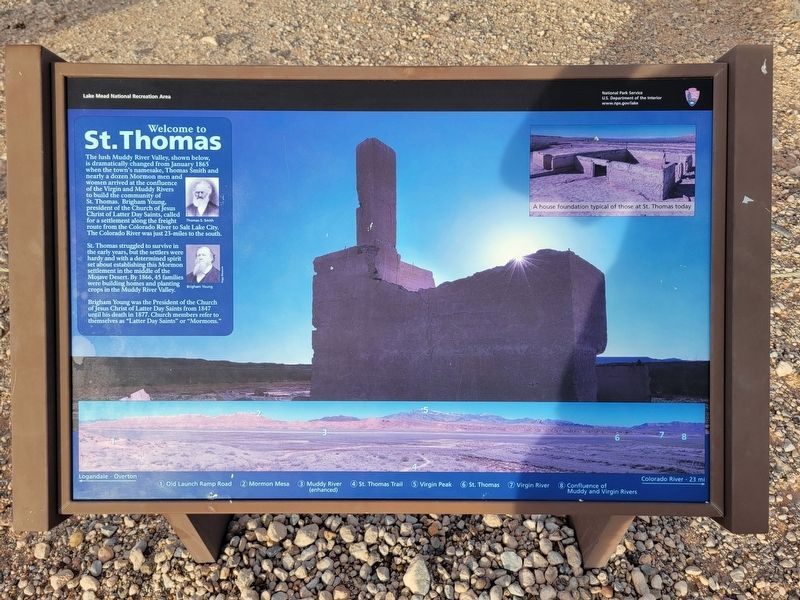
St. Thomas
The lush Muddy River Valley, shown below, is dramatically changed from January 1865 when the town's namesake, Thomas Smith and nearly a dozen Mormon men and women arrived at the confluence of the Virgin and Muddy Rivers to build the community of St. Thomas. Brigham Young, president of the Church of Jesus Christ of Latter Day Saints, called for a settlement along the freight route from the Colorado River to Salt Lake City. The Colorado River was just 23-miles to the south.
St. Thomas struggled to survive in the early years, but the settlers were hardy and with a determined spirit set about establishing this Mormon settlement in the middle of the Mojave Desert. By 1866, 45 families were building homes and planting crops in the Muddy River Valley.
Brigham Young was the President of the Church of Jesus Christ of Latter Day Saints from 1847 until his death in 1877. Church members refer to themselves as "Latter Day Saints" or "Mormons”.
Erected by National Park Service.
Topics. This historical marker is listed in these topic lists: Churches & Religion • Settlements & Settlers. A significant historical year for this entry is 1865.
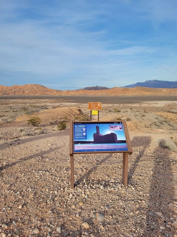
Location. 36° 28.147′ N, 114° 23.028′ W. Marker is near Saint Thomas, Nevada, in Clark County. It is in Overton. Marker is on Old Saint Thomas Road. Touch for map. Marker is at or near this postal address: Old Saint Thomas Road, Overton NV 89040, United States of America. Touch for directions.
Other nearby markers. At least 8 other markers are within 6 miles of this marker, measured as the crow flies. Pioneers (approx. 4.6 miles away); Arrowhead Trail (approx. 5.3 miles away); Lost City Museum (approx. 5.4 miles away); Fay Perkins, Sr. (approx. 5.4 miles away); Pueblo Grande de Nevada (approx. 5.4 miles away); Moapa Valley Pioneers (approx. 5.4 miles away); In Memory of Sergeant John J. Clark (approx. 5.4 miles away); Early Settlements in the Moapa Valley (approx. 5.9 miles away).
Credits. This page was last revised on February 15, 2024. It was originally submitted on February 15, 2024, by Jeremy Snow of Cedar City, Utah. This page has been viewed 53 times since then. Photos: 1, 2. submitted on February 15, 2024, by Jeremy Snow of Cedar City, Utah. • Andrew Ruppenstein was the editor who published this page.

