Bagdad in San Bernardino County, California — The American West (Pacific Coastal)
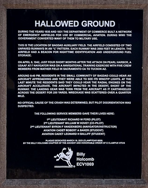
Hallowed Ground
During the years 1930 and 1931 the Department of Defense built a network of emergency airfields for use by commercial aviation. During WWII the government converted many of them to military use.
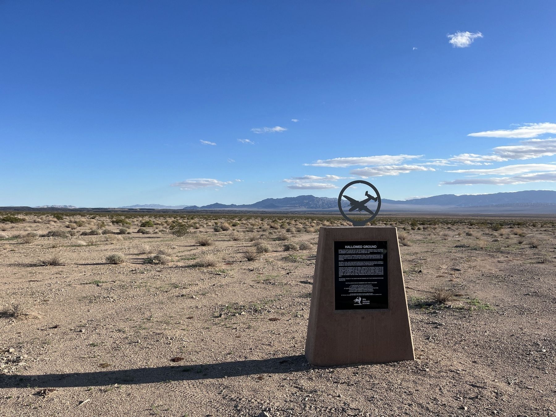
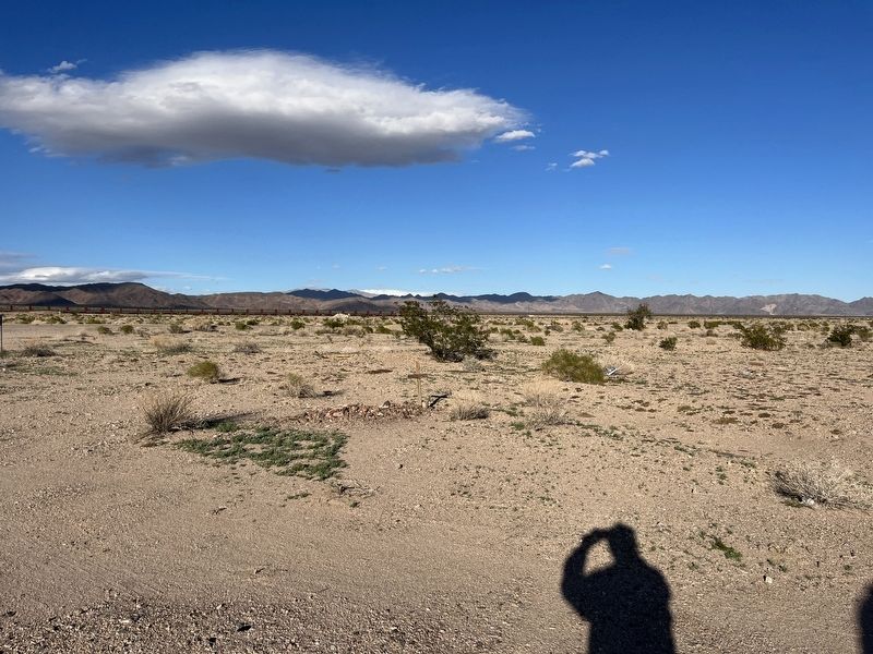
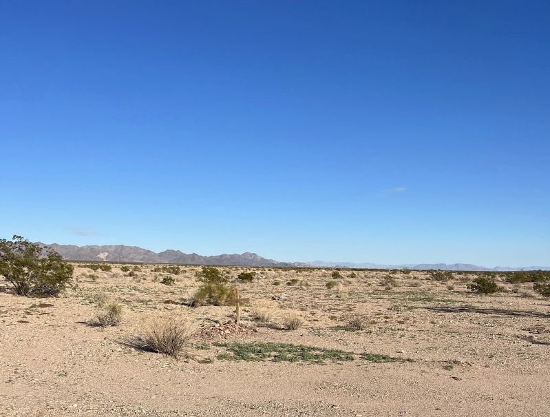
This is the location of Bagdad Auxiliary Field. The airfield consisted of two unpaved runways in an "L" pattern. Each runway was 3960 feet in length. The airfield had a beacon for nighttime identification and underground fuel storage.
On April 9, 1942, just four short months after the attack on Pearl Harbor, a USAAF AT-7 navigator was on a navigational training exercise with five crew members from Mather Field in Sacramento CA to Tucson AZ.
Around 8:40 PM, residents in the small community of Bagdad could hear an aircraft approaching and they were able to see its wingtip lights. At the last minute residents said they could hear the radial engines on the aircraft accelerate. The aircraft impacted the desert, short of the runway. The landing gear was torn from the aircraft as it cartwheeled across the desert for 250 yards. Wreckage was scattered over a quarter mile.
No official cause of the crash was determined, but pilot disorientation was suspected.
The following service members gave their lives here:
1st Lieutenant Richard W Ford (Pilot)
2nd Lieutenant William W Hovey (Co-Pilot)
2nd Lieutenant Bryon F Vandenberg (Navigator/Instructor)
Aviation Cadet Robert A Baker (Student)
Aviation Cadet Leonard H Balliff (Student)
Erected 2023 by E Clampus Vitus Billy Holcomb Chapter. (Marker Number 1069.)
Topics and series. This historical marker is listed in these topic lists: Air & Space • Disasters • War, World II. In addition, it is included in the E Clampus Vitus series list. A significant historical date for this entry is April 9, 1942.
Location. 34° 34.948′ N, 115° 52.644′ W. Marker is in Bagdad, California, in San Bernardino County. Marker is on Bagdad Way. Touch for map. Marker is at or near this postal address: Bagdad Way, Amboy CA 92304, United States of America. Touch for directions.
Other nearby markers. At least 4 other markers are within 8 miles of this marker, measured as the crow flies. Amboy Crater (approx. 5.8 miles away); Amboy and Roy's Café (approx. 7.8 miles away); Trails and Rails Through the Mojave Desert (approx. 7.8 miles away); Route 66, Amboy, California (approx. 7.8 miles away).
Credits. This page was last revised on February 20, 2024. It was originally submitted on February 15, 2024, by Adam Margolis of Mission Viejo, California. This page has been viewed 83 times since then. Photos: 1. submitted on February 15, 2024, by Adam Margolis of Mission Viejo, California. 2, 3, 4. submitted on February 16, 2024, by Adam Margolis of Mission Viejo, California. • Andrew Ruppenstein was the editor who published this page.


