Lowertown in Saint Paul in Ramsey County, Minnesota — The American Midwest (Upper Plains)
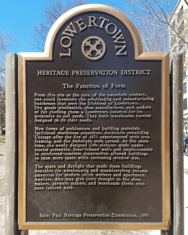
The Function of Form
— Lowertown Heritage Preservation District —
From this site at the turn of the twentieth century, one could inventory the wholesaling and manufacturing businesses that were the lifeblood of Lowertown. Dry goods wholesalers, shoe manufactures, and makers of fur clothing chose a Lowertown location for its proximity to rail yards. They built warehouses custom designed to fit their needs.
New forms of architecture and building materials facilitated warehouse expansion. Architects rebuilding Chicago after the fire of 1871 experimented with iron framing, and the technique soon spread. At the same time, the newly designed Otis elevator made upper stories accessible. Steel-framed walls and improvements in reinforced-concrete construction allowed buildings to span more space while increasing window size.
The space and daylight that made these buildings desirable for warehousing and manufacturing became amenities for modern office workers and apartment dwellers, who may give little thought to the shoe makers, garment makers, and warehouse clerks who once labored here.
Erected 1991 by Saint Paul Heritage Preservation Commission.
Topics. This historical marker is listed in these topic lists: Architecture • Industry & Commerce. A significant historical year for this entry is 1871.
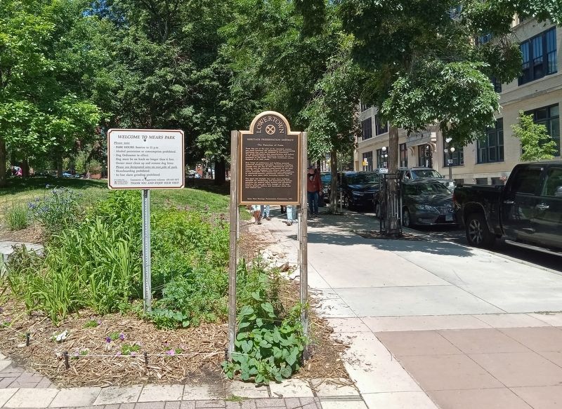
Location. 44° 56.96′ N, 93° 5.233′ W. Marker is in Saint Paul, Minnesota, in Ramsey County. It is in Lowertown. Marker is at the intersection of Wacouta Street and 5th Street E. on Wacouta Street. The marker is at the southeast corner of Mears Park. Touch for map. Marker is at or near this postal address: 221 5th Street E, Saint Paul MN 55101, United States of America. Touch for directions.
Other nearby markers. At least 8 other markers are within walking distance of this marker. Cycles of Change (about 400 feet away, measured in a direct line); Welcome to Union Depot Station (about 400 feet away); Hackett Block (about 500 feet away); Union Depot (about 600 feet away); Saint Paul Rubber Company (about 700 feet away); Northern Pacific Railway Warehouse (approx. 0.2 miles away); Endicott Building (approx. 0.2 miles away); Pioneer Building (approx. ¼ mile away). Touch for a list and map of all markers in Saint Paul.
Credits. This page was last revised on February 18, 2024. It was originally submitted on February 16, 2024, by McGhiever of Minneapolis, Minnesota. This page has been viewed 47 times since then. Photos: 1, 2. submitted on February 16, 2024, by McGhiever of Minneapolis, Minnesota. • Andrew Ruppenstein was the editor who published this page.

