Orange in Orange County, California — The American West (Pacific Coastal)
Octagon House
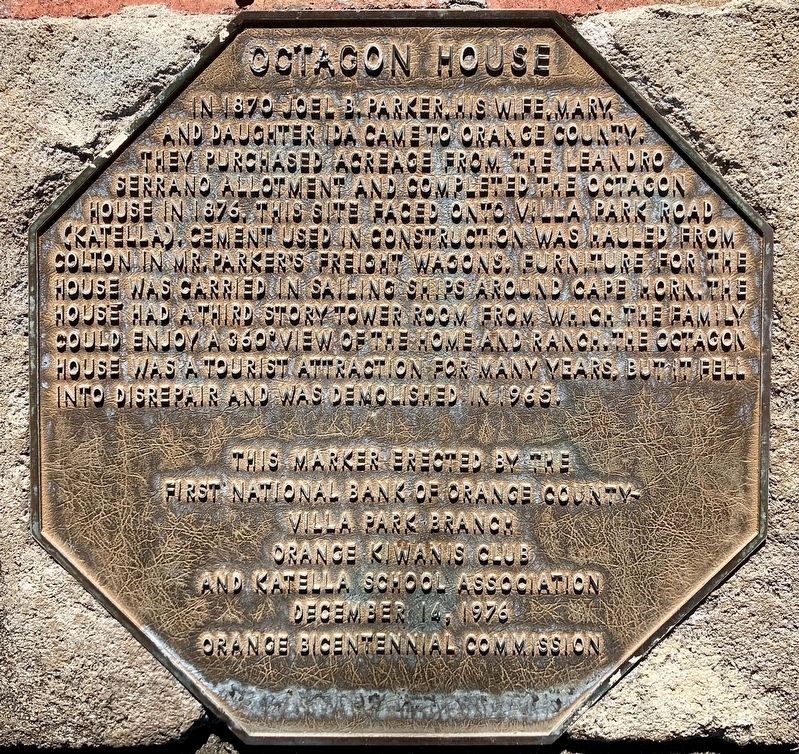
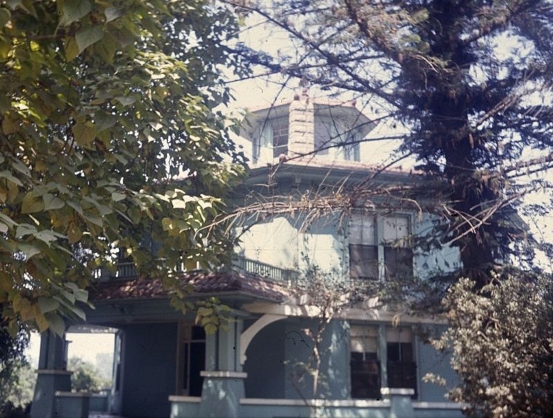
In 1870 Joel B. Parker, his wife, Mary, and daughter Ida came to Orange County. They purchased acreage from the Leandro Serrano allotment and completed the Octagon House in 1876. This site faced onto Villa Park Road (Katella). Cement used in construction was hauled from Colton in Mr. Parker’s freight wagons. Furniture for the house was carried in sailing ships around Cape Horn. The house had a third story tower room from which the family could enjoy a 360° view of the home and ranch. The Octagon House was a tourist attraction for many years, but it fell into disrepair and was demolished in 1965.
Erected 1976 by First National Bank of Orange County; Orange Kiwanis Club; Katella School Association; and Orange Bicentennial Commission.
Topics. This historical marker is listed in these topic lists: Architecture • Settlements & Settlers. A significant historical year for this entry is 1876.
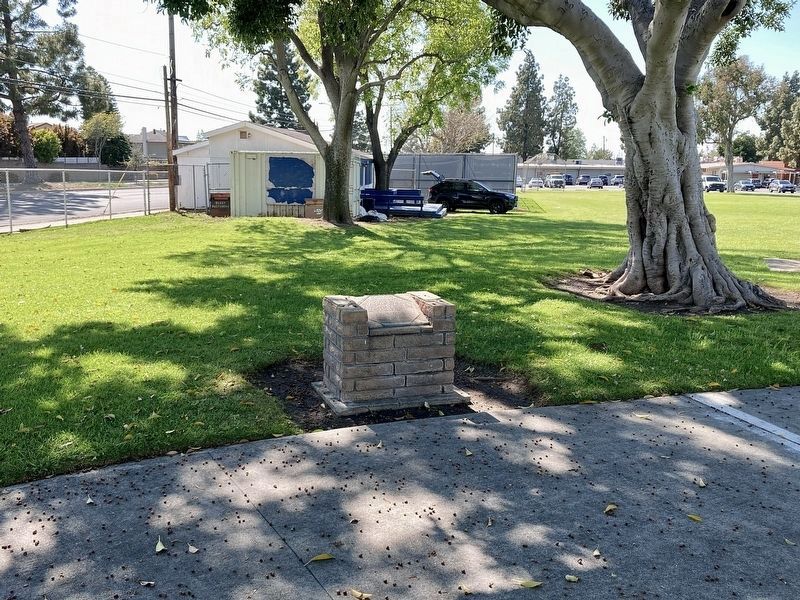
Location. 33° 48.639′ N, 117° 49.473′ W. Marker is in Orange, California, in Orange County. Marker is at the intersection of Handy Street and Katella Avenue on Handy Street. Touch for map. Marker is at or near this postal address: 1401 N Handy St, Orange CA 92867, United States of America. Touch for directions.
Other nearby markers. At least 8 other markers are within 3 miles of this marker, measured as the crow flies. Grijalva Adobe Site (approx. 1.4 miles away); First Site of the Olive Mill (approx. 2 miles away); Dwight David Eisenhower (approx. 2 miles away); Orange's First Public Schoohouse (approx. 2.1 miles away); Lewis and Persis Ainsworth (approx. 2.1 miles away); Woman’s Club of Orange (approx. 2.2 miles away); City of Orange Veterans Memorial (approx. 2.2 miles away); St. John’s Lutheran School (approx. 2.2 miles away). Touch for a list and map of all markers in Orange.
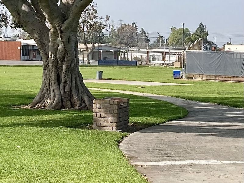
More about this marker. Located at the southeast corner of the Orange Unified School District offices property (formerly Katella Elementary School).
Credits. This page was last revised on April 2, 2024. It was originally submitted on February 17, 2024, by Craig Baker of Sylmar, California. This page has been viewed 79 times since then. Photos: 1. submitted on February 17, 2024, by Craig Baker of Sylmar, California. 2. submitted on April 1, 2024, by Craig Baker of Sylmar, California. 3, 4. submitted on February 17, 2024, by Craig Baker of Sylmar, California.


