St. George in Washington County, Utah — The American Mountains (Southwest)
Monument to the Flood of 2005
Monument to the Flood of 2005
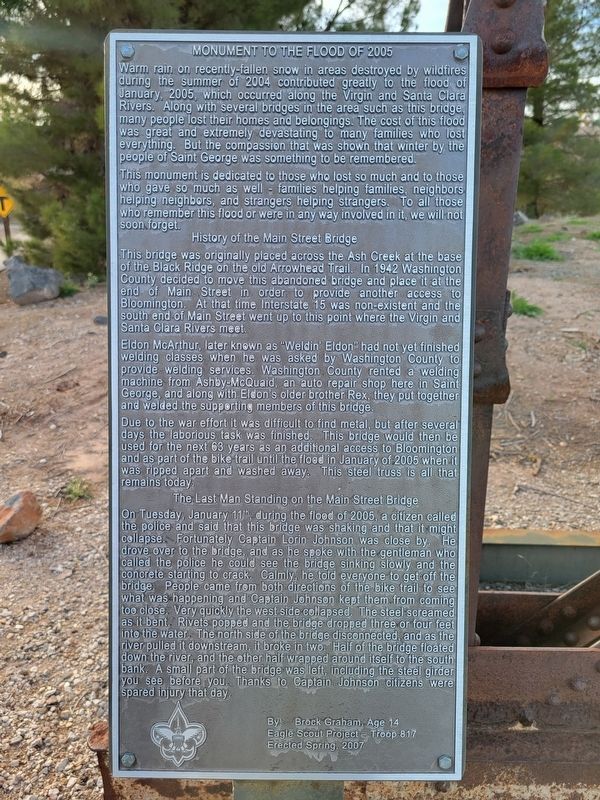
Warm rain on recently-fallen snow in areas destroyed by wildfires during the summer of 2004 contributed greatly to the flood of January, 2005, which occurred along the Virgin and Santa Clara Rivers. Along with several bridges in the area such as this bridge, many people lost their homes and belongings. The cost of this flood was great and extremely devastating to many families who lost everything. But the compassion that was shown that winter by the people of Saint George was something to be remembered.
This monument is dedicated to those who lost so much and to those who gave so much as well families helping families, neighbors helping neighbors, and strangers helping strangers. To all those who remember this flood or were in any way involved in it, we will not soon forget.
History of the Main Street Bridge
This bridge was originally placed across the Ash Creek at the base of the Black Ridge on the old Arrowhead Trail. In 1942 Washington County decided to move this abandoned bridge and place it at the end of Main Street in order to provide another access to Bloomington. At that time Interstate 15 was non-existent and the south end of Main Street went up to this point where the Virgin and Santa Clara Rivers meet.
Eldon McArthur, later known as "Weldin' Eldon” had not yet finished welding classes when he was asked by Washington County to provide welding services. Washington County rented a welding machine from Ashby-McQuaid, an auto repair shop here in Saint George, and along with Eldon's older brother Rex, they put together and welded the supporting members of this bridge.
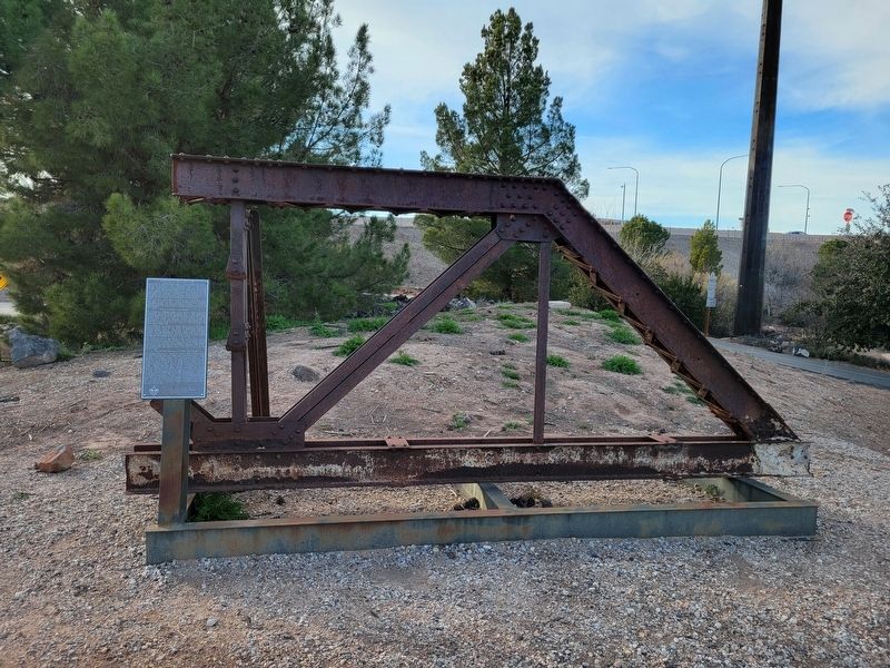
Due to the war effort it was difficult to find metal, but after several days the laborious task was finished. This bridge would then be used for the next 63 years as an additional access to Bloomington and as part of the bike trail until the flood in January of 2005 when it was ripped apart and washed away. This steel truss is all that remains today.
The Last Man Standing on the Main Street Bridge
On Tuesday, January 11, during the flood of 2005, a citizen called the police and said that this bridge was shaking and that it might collapse. Fortunately Captain Lorin Johnson was close by. He drove over to the bridge, and as he spoke with the gentleman who called the police he could see the bridge sinking slowly and the concrete starting to crack. Calmly, he told everyone to get off the bridge. People came from both directions of the bike trail to see what was happening and Captain Johnson kept them from coming too close. Very quickly the west side collapsed. The steel screamed as it bent. Rivets popped and the bridge dropped three or four feet into the water. The north side of the bridge disconnected, and as the river pulled it downstream, it broke in two. Half of the bridge floated down the river, and the other half wrapped around itself to the south bank. A small part of the bridge was left, including the steel girder you see before you. Thanks to Captain Johnson citizens were spared injury that day.
By Brock Graham, Age 14
Eagle Scout Project Troop 817
Erected Spring 2007
Erected 2007 by Brock Graham.
Topics. This historical marker is listed in these topic lists: Bridges & Viaducts • Disasters. A significant historical date for this entry is January 11, 2005.
Location. 37° 4.461′ N, 113° 35.012′ W. Marker is in St. George, Utah, in Washington County. Marker can be reached from South Convention Center Drive. Located in the Crosby Family Confluence Park. Touch for map. Marker is at or near this postal address: 2099 S Convention Center Dr, Saint George UT 84790, United States of America. Touch for directions.
Other nearby markers. At least 8 other markers are within 2 miles of this marker, measured as the crow flies. The Confluence of the Santa Clara and Virgin Rivers (within shouting distance of this marker); Old Spanish Trail (within shouting distance of this marker); The Southern Exploring Company (within shouting distance of this marker); Jedediah Strong Smith (about 400 feet away, measured in a direct line); Tonaquint (about 400 feet away); Brigham Young's Vision (about 400 feet away); Utah Is Rich in Aviation History (approx. 0.9 miles away); Virgin River Pump Station (approx. 1.7 miles away). Touch for a list and map of all markers in St. George.
Credits. This page was last revised on February 19, 2024. It was originally submitted on February 19, 2024, by Jeremy Snow of Cedar City, Utah. This page has been viewed 45 times since then. Photos: 1, 2. submitted on February 19, 2024, by Jeremy Snow of Cedar City, Utah. • Andrew Ruppenstein was the editor who published this page.

