Lowertown in Saint Paul in Ramsey County, Minnesota — The American Midwest (Upper Plains)
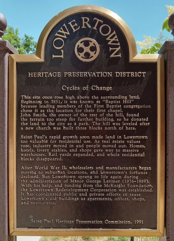
Cycles of Change
— Lowertown Heritage Preservation District —
This site once rose high above the surrounding land. Beginning in 1851, it was known as "Baptist Hill" because leading members of the First Baptist congregation chose it as the location for their first chapel. John Smith, the owner of the rest of the hill, found the terrain too steep for further building, so he donated the land to the city as a park. The hill was leveled after a new church was built three blocks north of here.
Saint Paul's rapid growth soon made land in Lowertown too valuable for residential use. As real estate values rose, industry moved in and people moved out. Homes, hotels, livery stables, and shops gave way to massive warehouses. Rail yards expanded, and whole residential blocks disappeared.
After World War II, wholesalers and manufacturers began moving to suburban locations, and Lowertown's fortunes declined. But Lowertown sprang to life again during the administration of Mayor George Latimer (1976–1989). With his help, and funding from the McKnight Foundation, the Lowertown Redevelopment Corporation was established. It has coordinated public and private efforts to reuse Lowertown's old buildings as apartments, offices, shops, and restaurants.
Erected 1991 by Saint Paul Heritage Preservation Commission.
Topics. This historical marker is listed in these topic lists: Churches & Religion • Government & Politics • Industry & Commerce. A significant historical year for this entry is 1851.
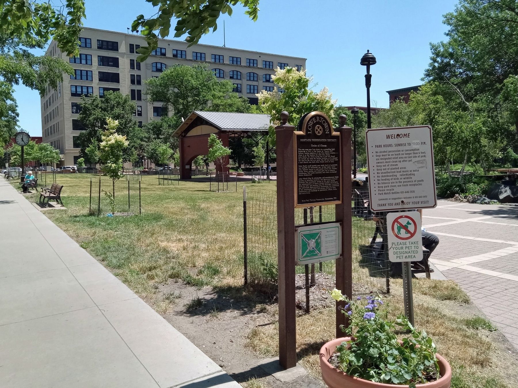
Location. 44° 56.972′ N, 93° 5.319′ W. Marker is in Saint Paul, Minnesota, in Ramsey County. It is in Lowertown. Marker is at the intersection of 6th Street E. and N. Sibley Street, on the right when traveling east on 6th Street E.. The marker is at the northwest corner of Mears Park. Touch for map. Marker is at or near this postal address: 202 6th Street E, Saint Paul MN 55101, United States of America. Touch for directions.
Other nearby markers. At least 8 other markers are within walking distance of this marker. The Function of Form (about 400 feet away, measured in a direct line); Welcome to Union Depot Station (about 700 feet away); Union Depot (approx. 0.2 miles away); Hackett Block (approx. 0.2 miles away); Endicott Building (approx. 0.2 miles away); Saint Paul Rubber Company (approx. 0.2 miles away); Pioneer Building (approx. 0.2 miles away); Northern Pacific Railway Warehouse (approx. ¼ mile away). Touch for a list and map of all markers in Saint Paul.
Credits. This page was last revised on February 25, 2024. It was originally submitted on February 20, 2024, by McGhiever of Minneapolis, Minnesota. This page has been viewed 44 times since then. Photos: 1, 2. submitted on February 20, 2024, by McGhiever of Minneapolis, Minnesota. • Andrew Ruppenstein was the editor who published this page.

