Oakville in Halton Region, Ontario — Central Canada (North America)
Leading Citizens
— Downtown —
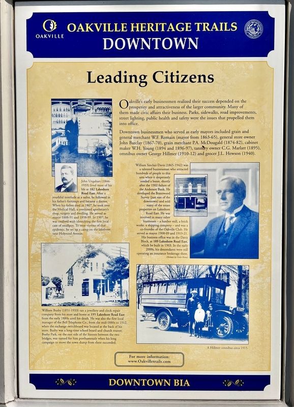
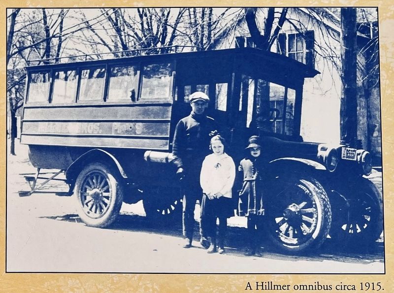
Downtown businessmen who served as early mayors included grain and general merchant W.F. Romain (mayor from 1863-65), general store owner John Barclay (1867-70), grain merchant P.A. McDougald (1874-82), cabinet maker W.H. Young (1894 and 1896-97), tannery owner C.G. Marlatt (1895), omnibus owner George Hillmer (1910-12) and grocer J.L. Hewson (1940).
Topics. This historical marker is listed in this topic list: Industry & Commerce.
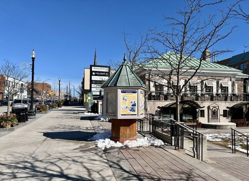
Location. 43° 26.748′ N, 79° 40.081′ W. Marker is in Oakville, Ontario, in Halton Region. Marker is on Lakeshore Road East near George Street, on the right when traveling east. Touch for map. Marker is at or near this postal address: 212 Lakeshore Rd East, Oakville ON L6J 1H8, Canada. Touch for directions.
Other nearby markers. At least 8 other markers are within walking distance of this marker. Then and Now (here, next to this marker); Business on the “Main Street” (here, next to this marker); Lakeshore Road Taverns (here, next to this marker); Hunter-Gatherer and Fisher People (9,000 BC to AD 500) (about 210 meters away, measured in a direct line); The First Horticultural People (AD 500 to 1610) (about 210 meters away); The Treaty Period (1801-1847) (about 210 meters away); Early Contact Period (1610-1700) (about 210 meters away); Oakville’s Meeting Hall (approx. 0.3 kilometers away). Touch for a list and map of all markers in Oakville.
Credits. This page was last revised on February 24, 2024. It was originally submitted on February 23, 2024, by Tim Boyd of Hamilton, Ontario. This page has been viewed 40 times since then. Photos: 1, 2, 3, 4, 5, 6. submitted on February 23, 2024, by Tim Boyd of Hamilton, Ontario. • Andrew Ruppenstein was the editor who published this page.
