Letts Lake in Colusa County, California — The American West (Pacific Coastal)
Letts Valley
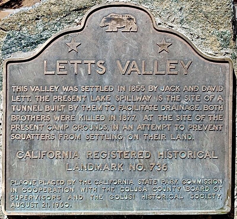
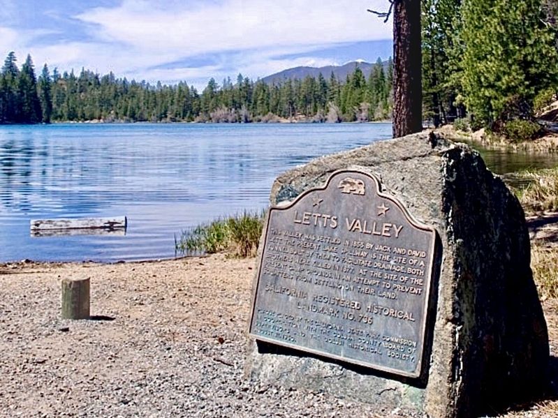
This valley was settled in 1855 by Jack and David Lett. The present lake spillway is the site of a tunnel built by them to facilitate drainage. Both brothers were killed in 1877, at the site of the present camp grounds, in an attempt to prevent squatters from settling on their land.
California Registered Historical Landmark No. 736.
Erected 1960 by California State Park Commission; Colusa County Board of Supervisors; and the Colusi Historical Society. (Marker Number 736.)
Topics and series. This historical marker is listed in this topic list: Settlements & Settlers. In addition, it is included in the California Historical Landmarks series list. A significant historical year for this entry is 1855.
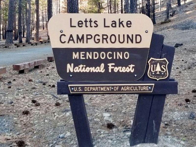
Location. 39° 18.2′ N, 122° 42.537′ W. Marker is in Letts Lake, California, in Colusa County. Marker can be reached from Forest Route 17N02, 16 miles west of Stonyford. Located at Upper Letts Lake near Letts Lake Campground. High clearance vehicle recommended. Touch for map. Marker is in this post office area: Stonyford CA 95979, United States of America. Touch for directions.
Other nearby markers. At least 8 other markers are within 15 miles of this marker, measured as the crow flies. Bloody Island (Bo-no-po-ti) (approx. 14.3 miles away); Clear Lake Habitat (approx. 14.3 miles away); The Pomo (approx. 14.3 miles away); Harriet Lee Hammond Library (approx. 14.4 miles away); The Tallman Hotel (approx. 14.4 miles away); The Ice House (approx. 14.4 miles away); The Livery Stable (approx. 14˝ miles away); Upper Lake (approx. 14˝ miles away).
Credits. This page was last revised on February 24, 2024. It was originally submitted on February 23, 2024, by Craig Baker of Sylmar, California. This page has been viewed 51 times since then. Photos: 1, 2, 3. submitted on February 23, 2024, by Craig Baker of Sylmar, California.


