West Sahara in Las Vegas in Clark County, Nevada — The American Mountains (Southwest)
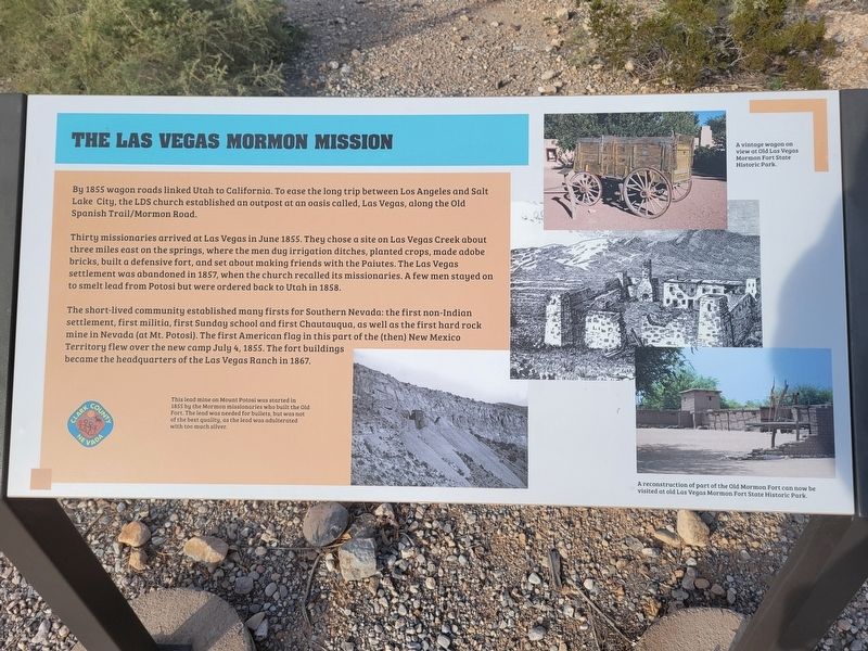
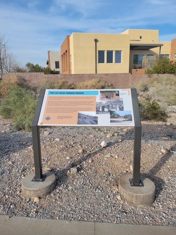
The Las Vegas Mormon Mission
By 1855 wagon roads linked Utah to California. To ease the long trip between Los Angeles and Salt Lake City, the LDS church established an outpost at an oasis called, Las Vegas, along the Old Spanish Trail/Mormon Road.
Thirty missionaries arrived at Las Vegas in June 1855. They chose a site on Las Vegas Creek about three miles east on the springs, where the men dug irrigation ditches, planted crops, made adobe bricks, built a defensive fort, and set about making friends with the Paiutes. The Las Vegas settlement was abandoned in 1857, when the church recalled its missionaries. A few men stayed on to smelt lead from Potosi but were ordered back to Utah in 1858.
The short-lived community established many firsts for Southern Nevada: the first non-Indian settlement, first militia, first Sunday school and first Chautauqua, as well as the first hard rock mine in Nevada (at Mt. Potosi). The first American flag in this part of the (then) New Mexico Territory flew over the new camp July 4, 1855. The fort buildings became the headquarters of the Las Vegas Ranch in 1867.
(caption:) This lead mine on Mount Potosi was started in 1855 by the Mormon missionaries who built the Old Fort, The lead was needed for bullets but was not of the best quality, as the lead was adulterated with too much silver.
Erected by Clark County.
Topics. This historical marker is listed in these topic lists: Churches & Religion • Industry & Commerce • Settlements & Settlers. A significant historical year for this entry is 1855.
Location. 36° 8.404′ N, 115° 16.185′ W. Marker is in Las Vegas, Nevada, in Clark County. It is in West Sahara. Marker is at the intersection of South Cimarron Road and Eldora Avenue, on the right on South Cimarron Road. Marker located along walking path in the Old Spanish Trail Park. Touch for map. Marker is in this post office area: Las Vegas NV 89117, United States of America. Touch for directions.
Other nearby markers. At least 8 other markers are within walking distance of this marker. The Mohave Desert (within shouting distance of this marker); Children and the Old Spanish Trail (about 300 feet away, measured in a direct line); The Old Spanish Trail Through Clark County (about 400 feet away); Frémont and His Scouts (about 400 feet away); The Mormon Battle & The Old Spanish Trail (about 400 feet away); Outlaws and Horse Thieves on the Old Spanish Trail (about 400 feet away); Las Vegas Ranches 1865-1905 (about 400 feet away); Native People Knew the Old Spanish Trail (about 400 feet away). Touch for a list and map of all markers in Las Vegas.
Credits. This page was last revised on February 24, 2024. It was originally submitted on February 24, 2024, by Jeremy Snow of Cedar City, Utah. This page has been viewed 50 times since then. Photos: 1, 2. submitted on February 24, 2024, by Jeremy Snow of Cedar City, Utah. • Andrew Ruppenstein was the editor who published this page.

