Juniata Township near Newport in Perry County, Pennsylvania — The American Northeast (Mid-Atlantic)
Blue Ball Tavern
Perry County Bicentennial
| — | 1820 - 2020 | — |
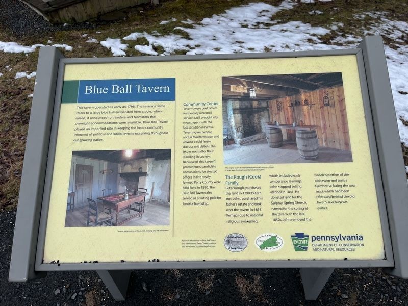
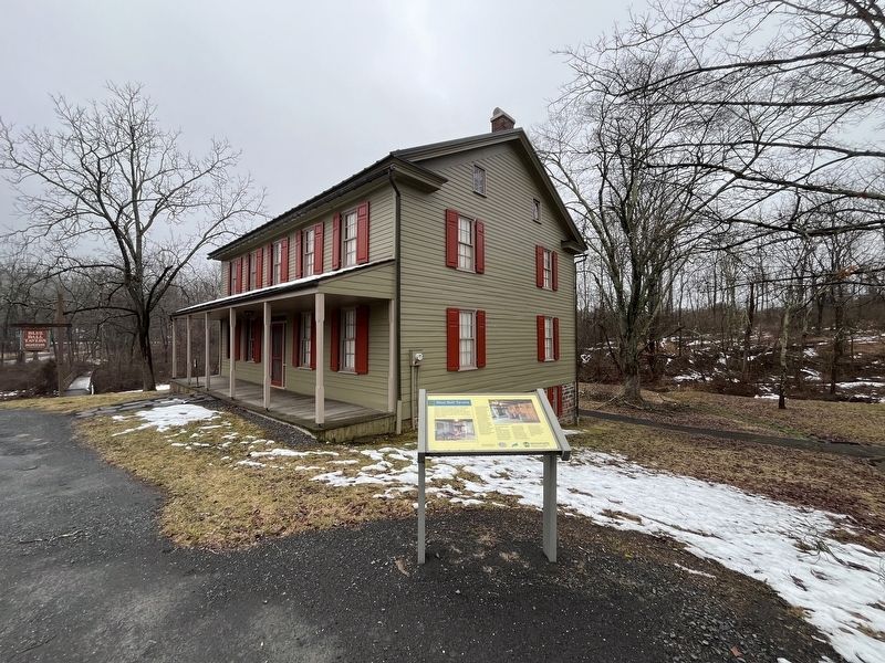
This tavern operated as early as 1798. The tavern's name refers to a large blue ball suspended from a pole; when raised, it announced to travelers and teamsters that overnight accommodations were available. Blue Ball Tavern played an important role in keeping the local community informed of political and social events occurring throughout our growing nation.
Community Center
Taverns were post offices for the early rural mail service. Mail brought city newspapers with the latest national events. Taverns gave people access to information and anyone could freely discuss and debate the issues no matter their standing in society. Because of this tavern's prominence, candidate nominations for elected offices in the newly formed Perry County were held here in 1820. The Blue Ball Tavern also served as a voting pole for Juniata Township.
The Kough (Cook) Family
Peter Kough, purchased land in 1790. Peter's son, John, purchased his father's estate and took over the tavern in 1811. Perhaps due to national religious awakening, which included early temperance leanings, John stopped selling alcohol in 1841. He donated land for
this page online
Erected 2020 by Historical Society of Perry County; Pennsylvania Department of Conservation and Natural Resources (DCNR).
Topics and series. This historical marker is listed in these topic lists: Communications • Government & Politics • Industry & Commerce • Religion & Religious Structures. In addition, it is included in the Pennsylvania, Perry County Heritage Trail series list. A significant historical year for this entry is 1798.
Location. 40° 27.49′ N, 77° 10.155′ W. Marker is near Newport, Pennsylvania, in Perry County. It is in Juniata Township. It is on State Park Road 0.1 miles south of Little Buffalo Road (Pennsylvania Route 4010), on the right when traveling south. The marker stands on the grounds of Little Buffalo State Park. Touch for map. Marker is at or near this postal address: 1579 State Park Rd, Newport PA 17074, United States of America. Touch for directions.

Regionally,
Other nearby markers. At least 8 other markers are within 3 miles of this marker, measured as the crow flies: The Perry Historians (approx. 1½ miles away); Newport Fugitive Slave Rescue (approx. 2.3 miles away); Newport Historic District (approx. 2.3 miles away); The Settlement of Newport (approx. 2.3 miles away); The Canal Era (approx. 2.3 miles away); St. Paul’s Lutheran Church (approx. 2.3 miles away); The Railroad Era (approx. 2.3 miles away); Newport Heritage Park (approx. 2.3 miles away). Touch for a list and map of all markers in Newport.
Additional keywords. The Second Great Awakening
Photographed by Devry Becker Jones (CC0), February 23, 2024
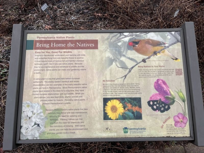
3. Bring Home the Natives signage
This signage stands near the visitor center across State Park Road.
Credits. This page was last revised on February 26, 2024. It was originally submitted on February 26, 2024, by Devry Becker Jones of Washington, District of Columbia. This page has been viewed 907 times since then and 108 times this year. Photos: 1, 2, 3. submitted on February 26, 2024, by Devry Becker Jones of Washington, District of Columbia.
