Spring Township in Elliottsburg in Perry County, Pennsylvania — The American Northeast (Mid-Atlantic)
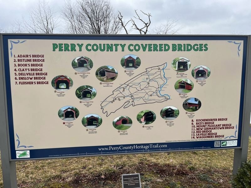
Perry County Covered Bridges
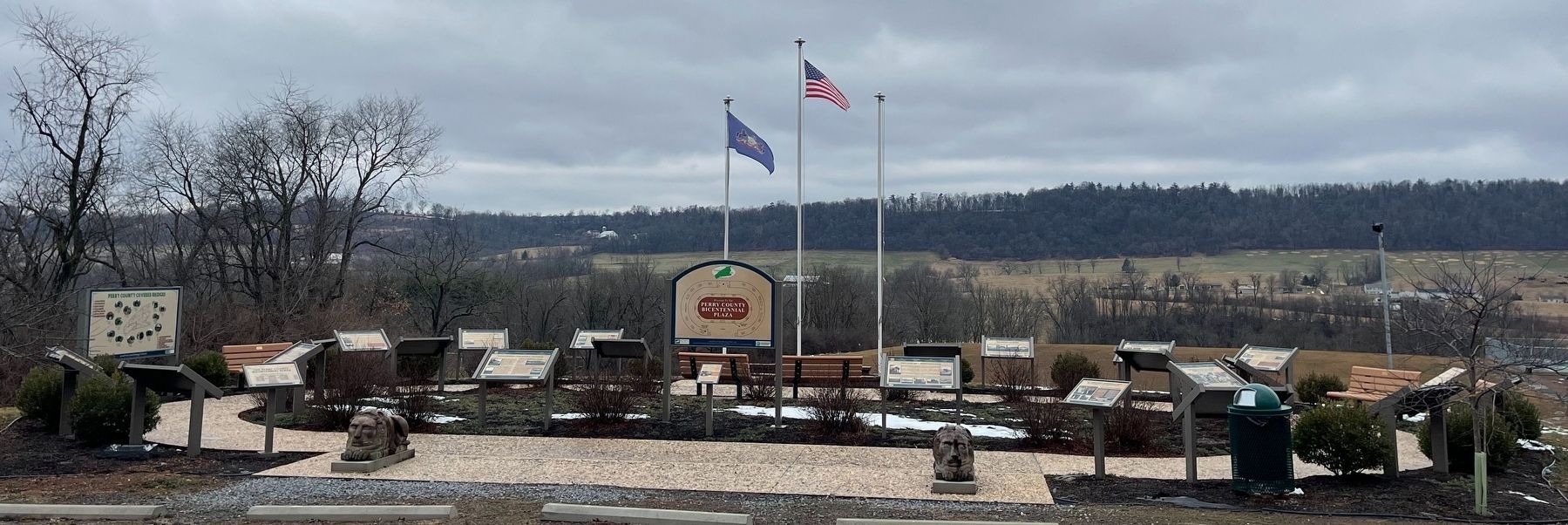
Perry County Bicentennial
— 1820 - 2020 —
① Adair's Bridge, 1864, Shermans Creek, refurbished 2007.
② Bastline Bridge, 1871, Shermans Creek, refurbished 2007.
③ Book's Bridge, 1884, Shermans Creek, rebuilt 2004.
④ Clay's Bridge, 1890, Little Buffalo Creek, rebuilt 2004.
⑤ Dellville Bridge, 1889, Shermans Creek, rebuilt 1997, fire 2014.
⑥ Enslow Bridge, 104, Shermans Creek, repaired 1997.
⑦ Fisher's Bridge, 1887, Big Buffalo Creek, reinforced 1960
⑧ Kochenderfer Bridge, 1919, Big Buffalo Creek.
⑨ Rice's Bridge, 1869, Shermans Creek, Reconstructed 2003.
⑩ Mount Pleasant Bridge, 1918, Shermans Creek, refurbished 2007.
⑪ New Germantown Bridge, 1891, Shermans Creek, refurbished 2007.
⑫ Red Bridge, Wildcat (Bargers) Creek, 1886, repaired 2015 & 2018.
⑬ Saville Bridge, 1903, Big Buffalo Creek, refurbished 2007.
⑭ Waggoners Brige, 1889, Bixler Run.
Erected 2020 by Historical Society of Perry County.
Topics and series. This historical marker is listed in this topic list: Bridges & Viaducts. In addition, it is included in the Covered Bridges, and the Perry County Heritage Trail in Pennsylvania. series lists. A significant historical year for this entry is 1864.
Location. 40° 23.08′ N, 77° 17.861′ W. Marker is in Elliottsburg, Pennsylvania, in Perry County. It is in Spring Township. Marker can be reached from Shermans Valley Road (Pennsylvania Route 274) 0.4 miles east of Veterans Way (Pennsylvania Route 74), on the right when traveling west. Touch for map. Marker is at or near this postal address: 2471 Shermans Valley Rd, Elliottsburg PA 17024, United States of America. Touch for directions.
Other nearby markers. At least 8 other markers are within walking distance of this marker. WW I and Its Aftermath (here, next to this marker); Indian Attacks in Shermans Valley (here, next to this marker); A New Century (here, next to this marker); Contact Between Widely Different Cultures (here, next to this marker); Life in the Great Depression (here, next to this marker); Perry Countians in the Revolutionary War (here, next to this marker); The First Inhabitants of Perry County (here, next to this marker); Birth of a New County! (here, next to this marker). Touch for a list and map of all markers in Elliottsburg.
Additional commentary.
1. About the Marker
This marker has been included in the database as part of the series for the Perry County Heritage Trail which was created to commemorate the county's bicentennial.
— Submitted February 27, 2024, by Devry Becker Jones of Washington, District of Columbia.
Credits. This page was last revised on February 27, 2024. It was originally submitted on February 27, 2024, by Devry Becker Jones of Washington, District of Columbia. This page has been viewed 59 times since then. Photos: 1, 2. submitted on February 27, 2024, by Devry Becker Jones of Washington, District of Columbia.

