Grand Rapids in Kent County, Michigan — The American Midwest (Great Lakes)
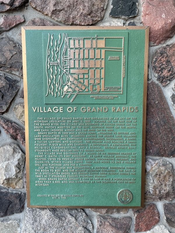
Village of Grand Rapids
The Village of Grand Rapids was organized by an act of the Michigan legislature on April 5, 1838. Located on the east side of the Grand River, the village was bounded by Fulton Street on the south, Hatch's Addition on the east, Hastings Street on the north, and Canal (Monroe) Avenue and the river on the west.
Grand Rapids in 1838 was a boom town, attractive to settlers and land speculators alike. Numbered among the nearly 1,000 villagers were shopkeepers and craftsmen, cabinetmakers, shoemakers, a baker, a tailor, lawyers, and doctors. The village also boasted a small foundry, flour mills and sawmills, a brickyard, a newspaper, five religious congregations, and a school. Several newly built steamboats made regular trips to Grand Haven.
The village was governed by a board of six trustees headed by Henry C. Smith, its first president. At early village meetings, the trustees voted to prohibit horse racing, discharging firearms, and gambling, within village limits. They also voted to dig a village well and purchase land for a cemetery.
Just as the village was organizing, a national depression turned the boom to bust, and the village economy collapsed. The days of wild speculation ended, and Grand Rapids grew slowly during the 1840s as it struggled toward economic stability.
When Grand Rapids became a city in 1850 it had a population of more than 2,600, and was emerging as the dominant city in West Michigan.
Donated by the city of Grand Rapids on April 5, 1988.
Erected 1988 by City of Grand Rapids.
Topics. This historical marker is listed in this topic list: Government & Politics. A significant historical date for this entry is April 5, 1838.
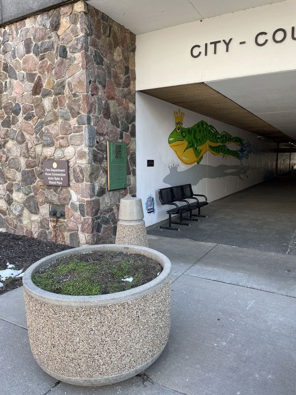
Location. 42° 58.145′ N, 85° 40.313′ W. Marker is in Grand Rapids, Michigan, in Kent County. Marker is on Monroe Avenue, 0.1 miles south of Michigan Street, on the right when traveling north. Touch for map. Marker is at or near this postal address: 300 Monroe Ave NW, Grand Rapids MI 49503, United States of America. Touch for directions.
Other nearby markers. At least 8 other markers are within walking distance of this marker. Mayor Lyman S. Parks (a few steps from this marker); La Grande Vitesse (about 300 feet away, measured in a direct line); Vandenberg Center / Arthur Hendrick Vandenberg (about 600 feet away); The Grand River (about 700 feet away); The Salvation Army (approx. 0.2 miles away); Grand River Bridges (approx. 0.2 miles away); Log Jam of 1883 (approx. 0.2 miles away); Great Flood of 1904 (approx. ¼ mile away). Touch for a list and map of all markers in Grand Rapids.
Credits. This page was last revised on March 4, 2024. It was originally submitted on February 29, 2024, by Nathan Bierma of Grand Rapids, Michigan. This page has been viewed 54 times since then. Photos: 1, 2. submitted on February 29, 2024, by Nathan Bierma of Grand Rapids, Michigan. • J. Makali Bruton was the editor who published this page.

