Spring Township near Elliottsburg in Perry County, Pennsylvania — The American Northeast (Mid-Atlantic)
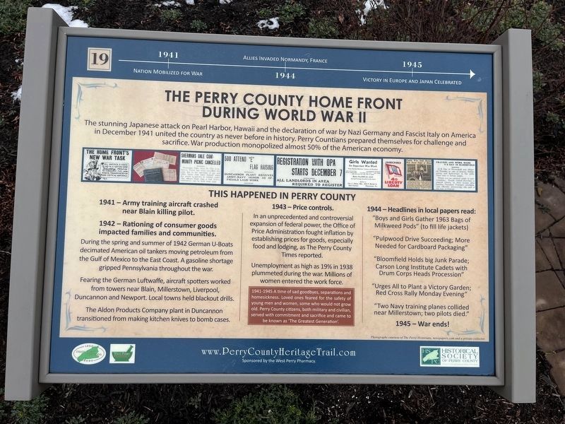
The Perry County Home Front During World War II
Perry County Bicentennial
— 1820 - 2020 —

Photographed By Devry Becker Jones (CC0), February 23, 2024
1. The Perry County Home Front During World War II Marker
1941: Nation mobilized for war.
1944: Allies invaded Normandy, France.
1945: Victory in Europe and Japan celebrated.
The stunning Japanese attack on Pearl Harbor, Hawaii and the declaration of war by Nazi Germany and Fascist Italy on America in December 1941 united the country as never before in history. Perry Countians prepared themselves for challenge and sacrifice. War production monopolized almost 50% of the American economy.
1942 - Rationing of consumer goods impacted families and communities.
During the spring and summer of 1942 German U-Boats decimated American oil tankers moving petroleum from the Gulf of Mexico to the East Coast. A gasoline shortage gripped Pennsylvania throughout the war.
Fearing the German Luftwaffe, aircraft spotters worked from towers near Blain, Millerstown, Liverpool, Duncannon and Newport. Local towns held blackout drills.
The Aldon Products Company plant in Duncannon transitioned from making kitchen knives to bomb cases.
1943 - Price controls.
In an unprecedented and controversial expansion of federal power, the Office of Price Administration fought inflation by establishing prices for goods, especially food and lodging, as the Perry County Times reported.
Unemployment as high as 19% in 1938 plummeted during the war. Millions of women entered the workforce.
1944 - Headlines in local papers read:
"Boys and Girls Gather 1963 Bags of Milkweed Pods" (to fill life jackets)
"Pulpwood Drive Succeeding; More Needed for Cardboard Packaging"
"Bloomfield Holds big Junk Parade; Carson Long Institute Cadets with Drum Corps Heads Procession"
"Urges All to Plant Victory Garden; Red Cross Rally Monday Evening"
"Two Navy training planes collided near Millerstown; two pilots died."
1945 - War ends!
[Sidebar:]
1941-1945 A time of sad goodbyes, separations and homesickness. Loved ones feared for the safety of young men and women, some who would not grow old. Perry County citizens, both military and civilian, served with commitment and sacrifice and came to be known as 'The Greatest Generation'.
Erected 2020 by West Perry Pharmacy; Historical Society of Perry County. (Marker Number 19.)
Topics and series. This historical marker is listed in these topic lists: Air & Space • Communications

Photographed By Devry Becker Jones (CC0), February 23, 2024
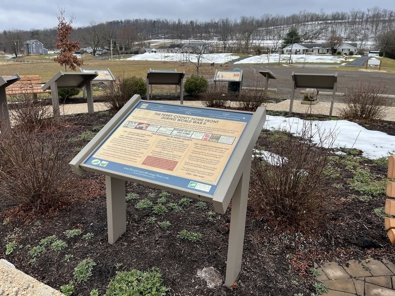
2. The Perry County Home Front During World War II Marker
Location. 40° 23.085′ N, 77° 17.855′ W. Marker is near Elliottsburg, Pennsylvania, in Perry County. It is in Spring Township. Marker is on Shermans Valley Road (Pennsylvania Route 274) 0.4 miles east of Veterans Way (Pennsylvania Route 74), on the right when traveling west. Touch for map. Marker is at or near this postal address: 2471 Shermans Valley Rd, Elliottsburg PA 17024, United States of America. Touch for directions.
Other nearby markers. At least 8 other markers are within walking distance of this marker. Growth of Agriculture, Commerce and Industry Before the Civil War (here, next to this marker); Early Schools, Academies and Religious Institutions (here, next to this marker); Forces of Change 1945-2020 (here, next to this marker); The Greatest Generation Goes to War (here, next to this marker); Post-Civil War Transformation (here, next to this marker); Most Visible Changes 1945-2020 (here, next to this marker); Pre-Civil War Transportation Development (here, next to this marker); Building on the Past as We March into the Future (here, next to this marker). Touch for a list and map of all markers in Elliottsburg.
Credits. This page was last revised on February 29, 2024. It was originally submitted on February 29, 2024, by Devry Becker Jones of Washington, District of Columbia. This page has been viewed 45 times since then. Photos: 1, 2. submitted on February 29, 2024, by Devry Becker Jones of Washington, District of Columbia.