Natchez in Natchitoches Parish, Louisiana — The American South (West South Central)
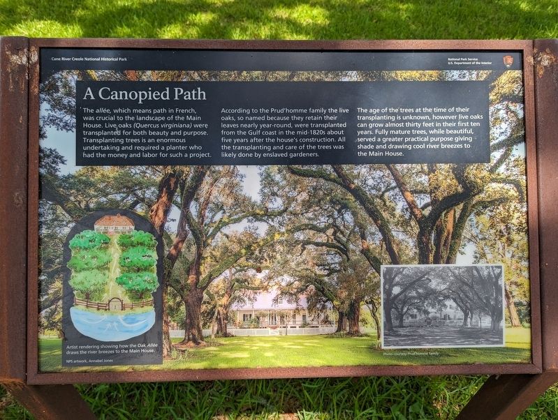
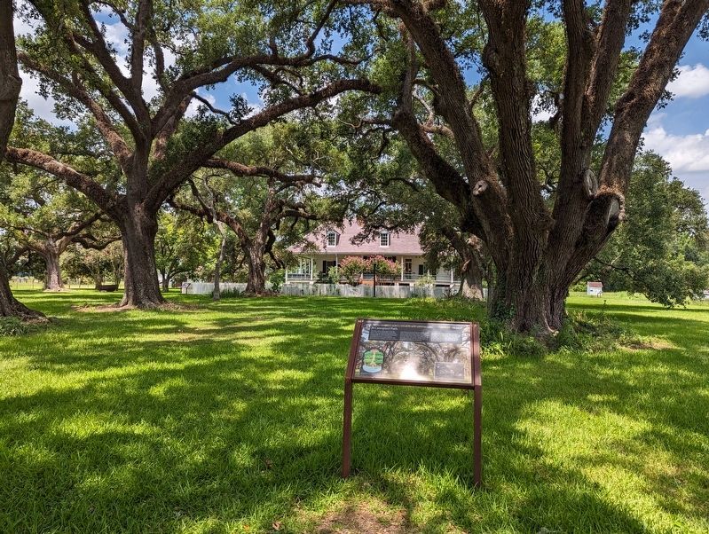
A Canopied Path
According to the Prud'homme family the live oaks, so named because they retain their leaves nearly year-round, were transplanted from the Gulf coast in the mid-1820s about five years after the house's construction. All the transplanting and care of the trees was likely done by enslaved gardeners.
The age of the trees at the time of their transplanting is unknown, however live oaks can grow almost thirty feet in their first ten years. Fully mature trees, while beautiful, served a greater practical purpose giving shade and drawing cool river breezes to the Main House.
Erected by National Park Service.
Topics. This historical marker is listed in this topic list: Horticulture & Forestry.
Location. 31° 39.929′ N, 93° 0.1′ W. Marker is in Natchez, Louisiana, in Natchitoches Parish. Marker is on Route 116/424. Touch for map. Marker is in this post office area: Natchez LA 71456, United States of America. Touch for directions.
Other nearby markers. At least 8 other markers are within walking distance of this marker. How Do You Say Pecan (within shouting distance of this marker); The Oak Allée & Bottle Garden (within shouting distance of this marker); The Enslaved Nanny's Room (within shouting distance of this marker); Working Iron (about 300 feet away, measured in a direct line); Creole Architecture (about 300 feet away); Cook's Cabin to Fishing Camp (about 300 feet away); Maker of Most Things Wood (about 400 feet away); Meet "Natchez" the Oakland Mule (about 400 feet away). Touch for a list and map of all markers in Natchez.
More about this marker. Located on the grounds of the Oakland Plantation, part of the Cane River Creole National Historic Park.
Credits. This page was last revised on March 1, 2024. It was originally submitted on March 1, 2024, by Cajun Scrambler of Assumption, Louisiana. This page has been viewed 41 times since then. Photos: 1, 2. submitted on March 1, 2024, by Cajun Scrambler of Assumption, Louisiana.

