Sugar Hill in Gwinnett County, Georgia — The American South (South Atlantic)
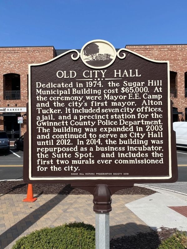
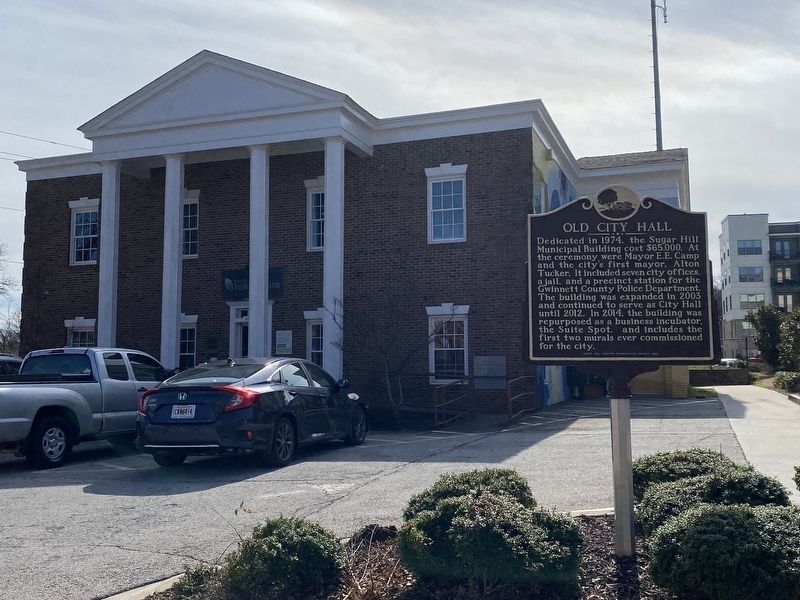
Old City Hall
Dedicated in 1974, the Sugar Hill Municipal Building cost $65,000. At the ceremony, were Mayor E.E. Camp and the city's first mayor, Alton Tucker. It included seven city offices, a jail, and a precinct station for the Gwinnett County Police Department. The building was expanded in 2003 and continued to serve as City Hall until 2012. In 2014, the building was repurposed as a business incubator, the Suite Spot, and includes the first two murals ever commissioned for the city.
Erected 2018 by Sugar Hill Historic Preservation Society.
Topics. This historical marker is listed in this topic list: Notable Buildings.
Location. 34° 6.393′ N, 84° 2.092′ W. Marker is in Sugar Hill, Georgia, in Gwinnett County. Marker is at the intersection of West Broad Street Northeast and Level Creek Road, on the left when traveling north on West Broad Street Northeast. Touch for map. Marker is at or near this postal address: 4988 W Broad St NE, Buford GA 30518, United States of America. Touch for directions.
Other nearby markers. At least 8 other markers are within 7 miles of this marker, measured as the crow flies. Educating a Community (about 600 feet away, measured in a direct line); Veterans Memorial (about 700 feet away); Historic Sugar Hill Cemetery (approx. 0.2 miles away); The Bolt That Threw 38 (approx. 0.2 miles away); The Shelley-Howerton House (approx. 1.2 miles away); Chesser-Williams House (approx. 3˝ miles away); Suwanee, Georgia 9/11 Memorial (approx. 3.8 miles away); Fort Daniel (approx. 7 miles away). Touch for a list and map of all markers in Sugar Hill.
Credits. This page was last revised on March 5, 2024. It was originally submitted on March 3, 2024, by Darren Jefferson Clay of Duluth, Georgia. This page has been viewed 52 times since then. Photos: 1, 2. submitted on March 4, 2024, by Darren Jefferson Clay of Duluth, Georgia. • Bernard Fisher was the editor who published this page.

