Marietta in Lancaster County, Pennsylvania — The American Northeast (Mid-Atlantic)
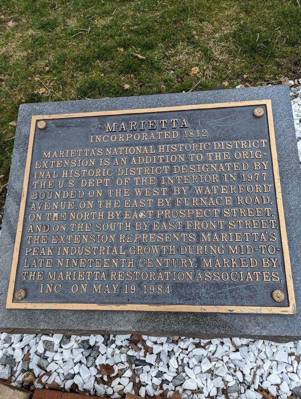
Marietta
Incorporated 1812
Erected 1984 by The Marietta Restoration Associates, Inc.
Topics. This historical marker is listed in these topic lists: Industry & Commerce • Settlements & Settlers. A significant historical year for this entry is 1812.
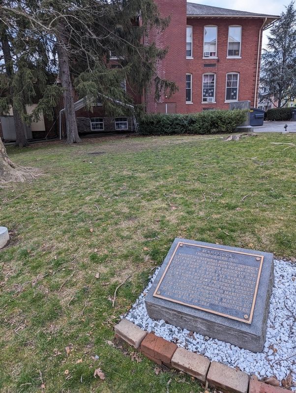
Location. 40° 3.469′ N, 76° 33.163′ W. Marker is in Marietta, Pennsylvania, in Lancaster County. Marker is at the intersection of North Waterford Avenue and North New Haven Street, on the left when traveling north on North Waterford Avenue. Touch for map. Marker is at or near this postal address: 5 West Walnut Street, Marietta PA 17547, United States of America. Touch for directions.
Other nearby markers. At least 8 other markers are within walking distance of this marker. A different marker also named Marietta (here, next to this marker); a different marker also named Marietta (here, next to this marker); Women in Marietta (here, next to this marker); The Old Town Hall (a few steps from this marker); Union Meeting House (within shouting distance of this marker); Those Who Served From Marietta in World War II (within shouting distance of this marker); David Cooke's Myerstown Homestead (approx. ¼ mile away); War Memorial Park (approx. 0.3 miles away). Touch for a list and map of all markers in Marietta.
Credits. This page was last revised on March 4, 2024. It was originally submitted on March 3, 2024, by William Pope of Marietta, Pennsylvania. This page has been viewed 29 times since then. Photos: 1, 2. submitted on March 3, 2024, by William Pope of Marietta, Pennsylvania. • Bill Pfingsten was the editor who published this page.

