Charleston in Charleston County, South Carolina — The American South (South Atlantic)
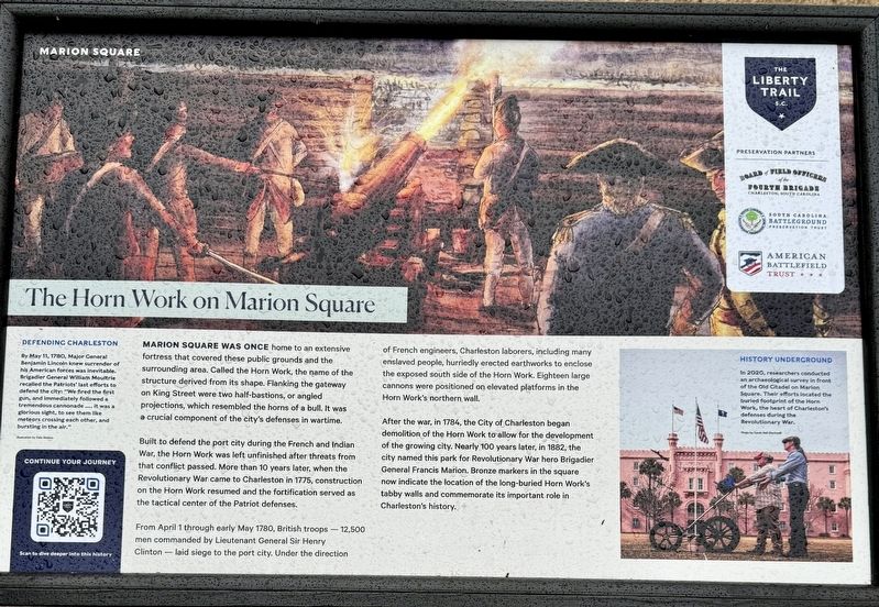
The Horn Work on Marion Square
The Liberty Trail
— Charleston Horn Work —
Built to defend the port city during the French and Indian War, the Horn Work was left unfinished after threats from that conflict passed. More than 10 years later, when the Revolutionary War came to Charleston in 1775, construction on the Horn Work resumed and the fortification served as the tactical center of the Patriot defenses.
From April 1 through early May 1780, British troops - 12,500 men commanded by Lieutenant General Sir Henry Clinton — laid siege to the port city. Under the direction of French engineers, Charleston laborers, including many enslaved people, hurriedly erected earthworks to enclose the exposed south side of the Horn Work. Eighteen large cannons were positioned on elevated platforms in the Horn Work's northern wall.
After the war, in 1784, the City of Charleston began demolition of the Horn Work to allow for the development of the growing city. Nearly 100 years later, in 1882, the city named this park for Revolutionary War hero Brigadier General Francis Marion. Bronze markers in the square now indicate the location of the long-buried Horn Work's tabby walls and commemorate its important role in Charleston’s history.
(captions)
Defending Charleston
By May 11, 1780, Major General Benjamin Lincoln knew surrender of his American forces was inevitable. Brigadier General William Moultrie recalled the Patriots' last efforts to defend the city: "We fired the first gun, and immediately followed a tremendous cannonade... it was a glorious sight, to see them like meteors crossing each other, and bursting in the air." - Illustration by Dale Watson
History Underground
In 2020, researchers conducted an archaeological survey in front of the Old Citadel on Marion Square. Their efforts located the buried footprint of the Horn Work, the heart of Charleston's defenses during the Revolutionary War. - Photo by Sarah Hall Blackwell
Erected by The Liberty Trail, American Battlefield Trust, South Carolina Battleground Preservation Trust and the Board of Field Officers of the Fourth Brigade.
Topics. This historical marker is listed in these topic lists: Forts and Castles • War, US Revolutionary. A significant historical year for this entry is 1775.
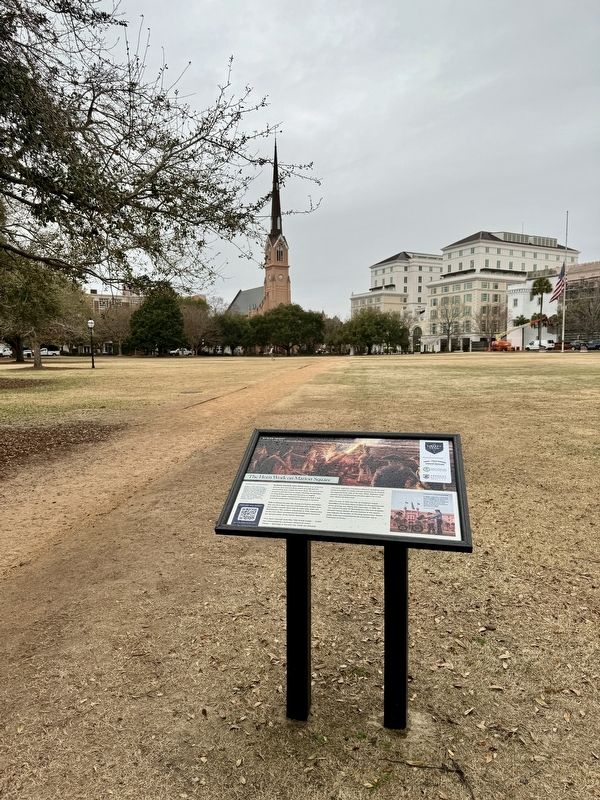
Location. 32° 47.206′ N, 79° 56.102′ W. Marker is in Charleston, South Carolina, in Charleston County. Marker is on Meeting Street, 0.1 miles west of Charlotte Street, on the left when traveling east. The marker is located within Charleston’s Marion Square. Touch for map. Marker is at or near this postal address: 329 Meeting Street, Charleston SC 29403, United States of America. Touch for directions.
Other nearby markers. At least 8 other markers are within walking distance of this marker. A Tabby Defense (within shouting distance of this marker); Reclaiming Charleston’s History (within shouting distance of this marker); Calhoun (within shouting distance of this marker); Marion Square (within shouting distance of this marker); Wade Hampton Monument (within shouting distance of this marker); Surrender, then Victory (about 300 feet away, measured in a direct line); Charleston Public Water System (about 300 feet away); Charleston’s Horn Work (about 300 feet away). Touch for a list and map of all markers in Charleston.
Also see . . .
1. A Brief History of Marion Square. (Submitted on March 6, 2024, by Brandon D Cross of Flagler Beach, Florida.)
2. The Horn Work: Marion’s Square’s Tabby Fortress. (Submitted on March 6, 2024, by Brandon D Cross of Flagler Beach, Florida.)
3. The Liberty Trail - Marion Square (battlefields.org). Scanning the QR code on the marker leads to this page, a history of Marion Square, with additional information about “tabby”, plus 3 short audio files. (Submitted on March 7, 2024.)
Credits. This page was last revised on March 7, 2024. It was originally submitted on March 6, 2024, by Brandon D Cross of Flagler Beach, Florida. This page has been viewed 48 times since then. Photos: 1, 2. submitted on March 6, 2024, by Brandon D Cross of Flagler Beach, Florida. • Andrew Ruppenstein was the editor who published this page.

