Nuttallburg in Fayette County, West Virginia — The American South (Appalachia)
Segregated Coal Town
New River Gorge National River
— National Park Service, U.S. Department of the Interior —
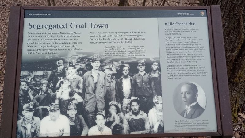
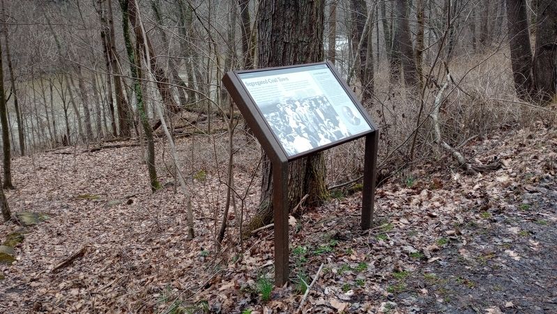
You are standing in the heart of Nuttallburg's African-American community. The school for black children once stood on the foundation in front of you. The church for blacks stood on the foundation behind you. When coal companies designed their towns, they segregated workers by race and nationality, a reflection of life in America at that time.
African-Americans made up a large part of the work force in mines throughout the region. Many were immigrants from the South seeking a better life. Though life here was hard, it was better than the one they had left.
A Life Shaped Here
The life of educator, historian, and scholar Carter G. Woodson was shaped in and around Nuttallburg.
At age 17, to earn money for schooling, Woodson came here with his brothers to mine coal. For several years he worked in the Nuttallburg Mine and the nearby Kaymoor Mine. While here he read newspapers to black miners who could not read. Later, after earning his Bachelor of Literature degree, Woodson returned to teach in the town of Winona, a short distance from Nuttallburg. It is possible that Woodson visited-and perhaps taught in- the black school here in Nuttallburg. Woodson went on to become the second African-American to earn a PhD from Harvard University. He founded the Journal of Negro History and what is now known as Black History Month. He is often remembered as the Father of Black History.
Erected by National Park Service, U.S. Department of the Interior.
Topics. This historical marker is listed in these topic lists: African Americans • Industry & Commerce • Natural Resources.
Location. 38° 2.946′ N, 81° 2.208′ W. Marker is in Nuttallburg, West Virginia, in Fayette County. Marker is on Keeneys Creek Road (Route 85/2) 3.3 miles west of San Mountain Road, on the left when traveling west. Touch for map. Marker is at or near this postal address: 460 Keeneys Creek Road, Fayetteville WV 25840, United States of America. Touch for directions.
Other nearby markers. At least 8 other markers are within walking distance of this marker. Exploring Nuttallburg (within shouting distance of this marker); Nuttallburg and Short Creek (within shouting distance of this marker); A Building Evolves (approx. 0.2 miles away); Changing Landscape (approx. 0.2 miles away); Home Sweet Home (approx. 0.2 miles away); a different marker also named Exploring Nuttallburg (approx. 0.2 miles away); Visiting Nuttallburg (approx. 0.3 miles away); Railroads and Coal (approx. 0.3 miles away). Touch for a list and map of all markers in Nuttallburg.
Credits. This page was last revised on March 11, 2024. It was originally submitted on March 6, 2024, by Craig Doda of Napoleon, Ohio. This page has been viewed 38 times since then. Photos: 1, 2. submitted on March 6, 2024, by Craig Doda of Napoleon, Ohio. • Devry Becker Jones was the editor who published this page.

