Powhatan in Lawrence County, Arkansas — The American South (West South Central)
Commercial Building
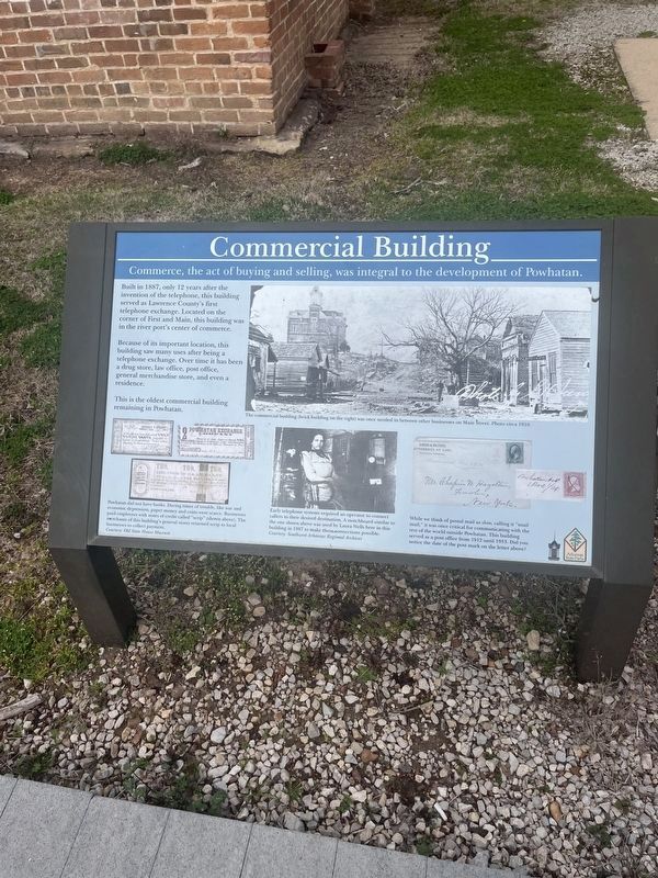
Because of its important location, this building saw many uses after being a telephone exchange. Over time it has been a drug store, law office, post office, general merchandise store, and even a residence.
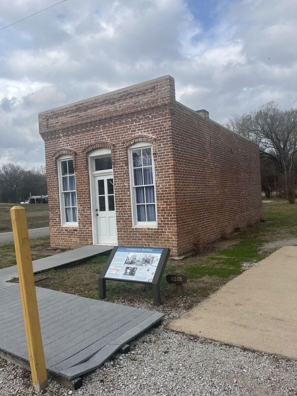
This is the oldest commercial building remaining in Powhatan.
(caption:) Powhatan did not have banks. During times of trouble, like war and economic depression, paper money and coins were scarce. Businesses paid employees with notes of credit called "scrip" (shown above). The merchants of this building's general stores returned scrip to local businesses to collect payment.
Courtesy: Old State House Museum
(caption:) The commercial building (brick building on the right) was once nestled in between other businesses on main Street: Photo circa 1910
(caption:) Early telephone system required an operator to connect callers to their desired destination. A switchboard similar to the one shown above was used by Laura Wells here in this building in 1887 to make those connections possible. Courtesy: Southwest Arkansas regional Archives.
(caption:) While we think of postal mail as slow calling it "snail mail," it was once critical for communicating with the rest of the world outside Powhatan. This building served as a post office from 1912 until 1933. Did you notice the date of the post mark on the letter above?
Topics. This historical marker is listed in this topic list: Industry & Commerce. A significant historical year for this entry is 1887.
Location. 36° 4.922′ N, 91° 7.042′ W. Marker is in Powhatan, Arkansas, in Lawrence County. Marker is at the intersection of Main Street and 2nd Street, on the left when traveling east on Main Street. The marker is i. Powhatan Historic State Park. Touch for map. Marker is in this post office area: Powhatan AR 72458, United States of America. Touch for directions.
Other nearby markers. At least 8 other markers are within walking distance of this marker. Log Cabin (within shouting distance of this marker); Log Cabin Kitchen (within shouting distance of this marker); The Black River (within shouting distance of this marker); Powhatan Courthouse State Park (about 400 feet away, measured in a direct line); Uses of the Jail House (about 400 feet away); The Conviction of Samuel Helms (about 500 feet away); Powhatan Jail (about 600 feet away); Changes made to the Jail (about 700 feet away). Touch for a list and map of all markers in Powhatan.
Credits. This page was last revised on March 7, 2024. It was originally submitted on March 6, 2024, by Thomas Smith of Waterloo, Ill. This page has been viewed 40 times since then. Photos: 1, 2. submitted on March 6, 2024, by Thomas Smith of Waterloo, Ill. • Andrew Ruppenstein was the editor who published this page.

