Nuttallburg in Fayette County, West Virginia — The American South (Appalachia)
The Tipple
New River Gorge National River
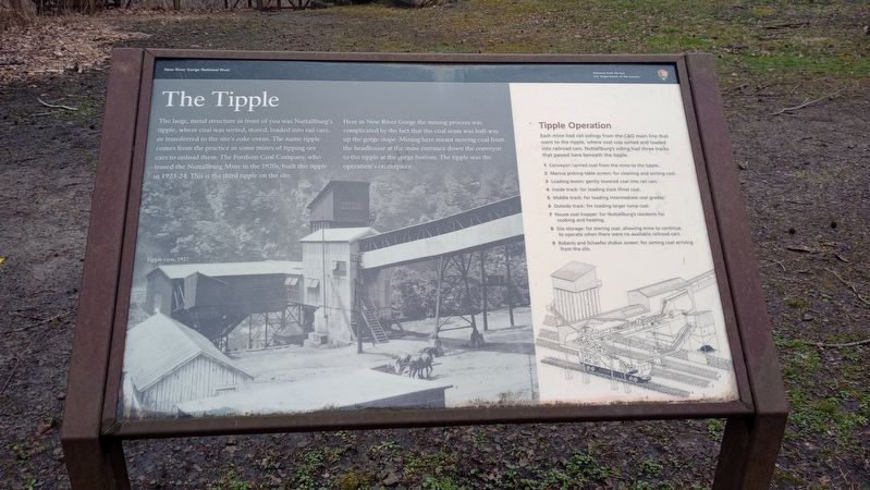
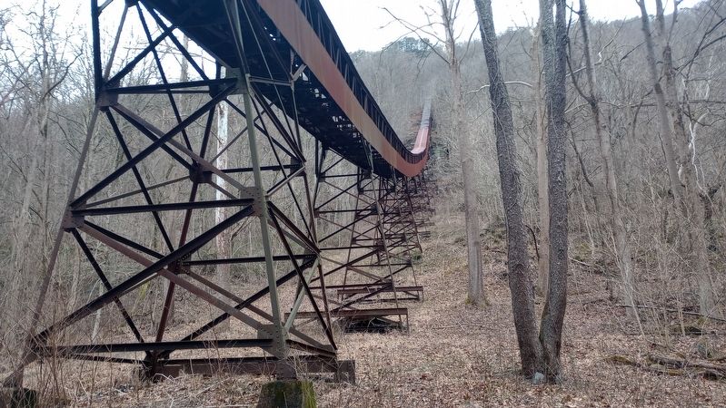
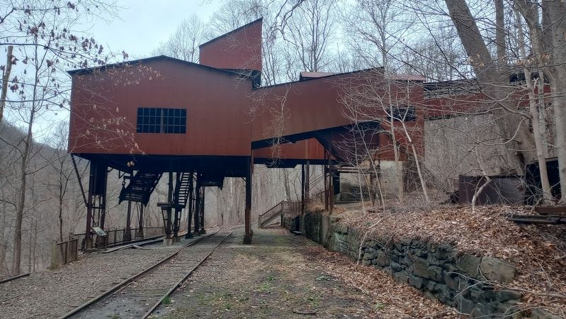
Here in New River Gorge the mining process was complicated by the fact that the coal seam was half-way up the gorge slope. Mining here meant moving coal from the headhouse at the mine entrance down the conveyor to the tipple at the gorge bottom. The tipple was the operation's centerpiece.
Tipple Operation
Each mine had rail sidings from the C&O main line that went to the tipple, where coal was sorted and loaded into railroad cars. Nuttallburg's siding had three tracks that passed here beneath the tipple.
1 Conveyor: carried coal from the mine to the tipple.
2 Marcus picking table screen: for cleaning and sorting coal.
3 Loading boom: gently lowered coal into rail cars.
4 Inside track: for loading slack (fine) coal.
5 Middle track: for loading intermediate coal grades.
6 Outside track: for loading larger lump coal.
7 House coal hopper: for Nuttallburg's residents for cooking and heating.
8 Silo storage: for storing coal, allowing mine to continue to operate when there were no available railroad cars.
9 Roberts and Schaefer shaker screen: for sorting coal arriving from the silo.
Erected by National Park Service US. Department of the Interior.
Topics. This historical marker is listed in this topic list: Industry & Commerce.
Location. 38° 3.042′ N, 81° 2.554′ W. Marker is in Nuttallburg, West Virginia, in Fayette County. Marker is on Tipple Trail, on the right when traveling west. Touch for map. Marker is at or near this postal address: Tipple Trl, Fayetteville WV 25840, United States of America. Touch for directions.
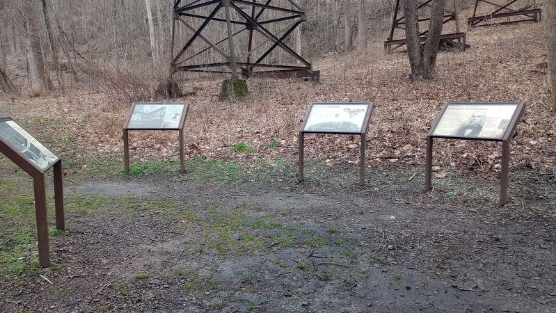
Other nearby markers. At least 8 other markers are within walking distance of this marker. Moving Coal Downhill (here, next to this marker); Henry Ford's Nuttallburg (here, next to this marker); John Nuttall And Nuttallburg (here, next to this marker); Railroads and Coal (within shouting distance of this marker); Coke Ovens (within shouting distance of this marker); Exploring Nuttallburg (about 700 feet away, measured in a direct line); Home Sweet Home (about 800 feet away); Changing Landscape (approx. 0.2 miles away). Touch for a list and map of all markers in Nuttallburg.
Credits. This page was last revised on March 12, 2024. It was originally submitted on March 6, 2024, by Craig Doda of Napoleon, Ohio. This page has been viewed 32 times since then. Photos: 1, 2, 3, 4. submitted on March 6, 2024, by Craig Doda of Napoleon, Ohio. • Bill Pfingsten was the editor who published this page.


