Charleston in Cherokee County, South Carolina — The American South (South Atlantic)
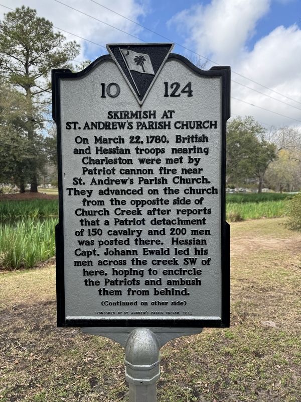
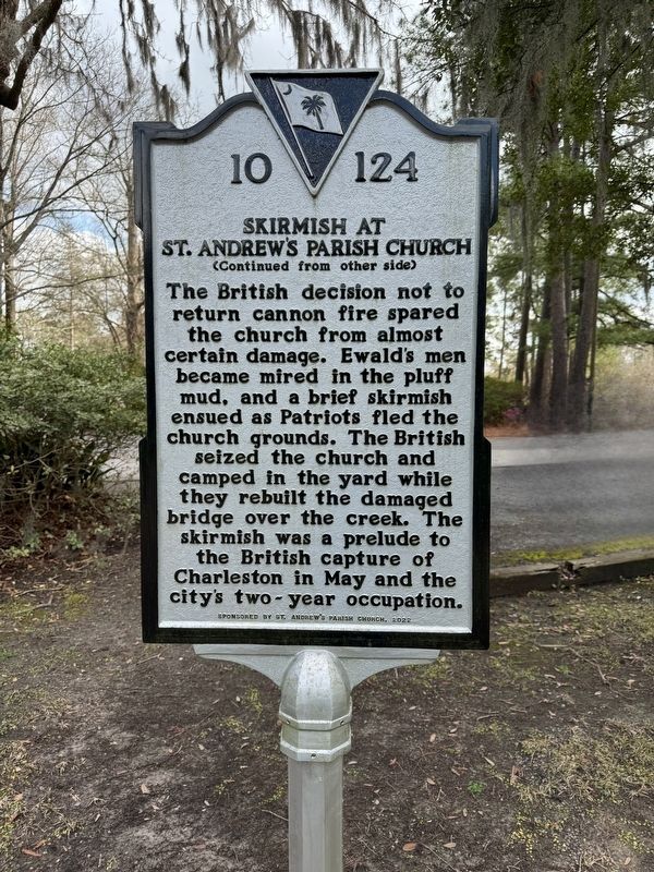
Skirmish at St. Andrew’s Parish Church
On March 22, 1780, British and Hessian troops nearing Charleston were met by Patriot cannon fire near St. Andrew's Parish Church. They advanced on the church from the opposite side of Church Creek after reports that a Patriot detachment of 150 cavalry and 200 men was posted there. Hessian Capt. Johann Ewald led his men across the creek SW of here, hoping to encircle the Patriots and ambush them from behind.
Erected 2022 by St. Andrew’s Parish Church. (Marker Number 10-124.)
Topics. This historical marker is listed in these topic lists: Churches & Religion • War, US Revolutionary. A significant historical date for this entry is March 22, 1780.
Location. 32° 50.293′ N, 80° 2.991′ W. Marker is in Charleston, South Carolina, in Cherokee County. Marker is on Ashley River Road (South Carolina Route 61) 0.1 miles south of Plainview Road, on the right when traveling north. Touch for map. Marker is at or near this postal address: 2604 Ashley River Road, Charleston SC 29414, United States of America. Touch for directions.
Other nearby markers. At least 8 other markers are within 4 miles of this marker, measured as the crow flies. St. Andrew’s Parish Church (here, next to this marker); Drayton Hall / Drayton Family (approx. 2.6 miles away); South Carolina Canal & Rail Road Company (approx. 3 miles away); Jenkins Orphanage (approx. 3.2 miles away); The Rev. John G. Drayton (approx. 3.3 miles away); Royal Judge John Drayton (approx. 3.3 miles away); Magnolia Plantation (approx. 3.3 miles away); Charleston Station (approx. 3.9 miles away). Touch for a list and map of all markers in Charleston.
Also see . . .
1. Revolutionary Skirmish at old St. Andrew’s Church to be commemorated on Wednesday. (Submitted on March 6, 2024, by Brandon D Cross of Flagler Beach, Florida.)
2. Old St. Andrew’s Parish Church. (Submitted on March 6, 2024, by Brandon D Cross of Flagler Beach, Florida.)
Credits. This page was last revised on March 7, 2024. It was originally submitted on March 6, 2024, by Brandon D Cross of Flagler Beach, Florida. This page has been viewed 63 times since then. Photos: 1, 2. submitted on March 6, 2024, by Brandon D Cross of Flagler Beach, Florida. • Andrew Ruppenstein was the editor who published this page.

