Kaymoor in Fayette County, West Virginia — The American South (Appalachia)
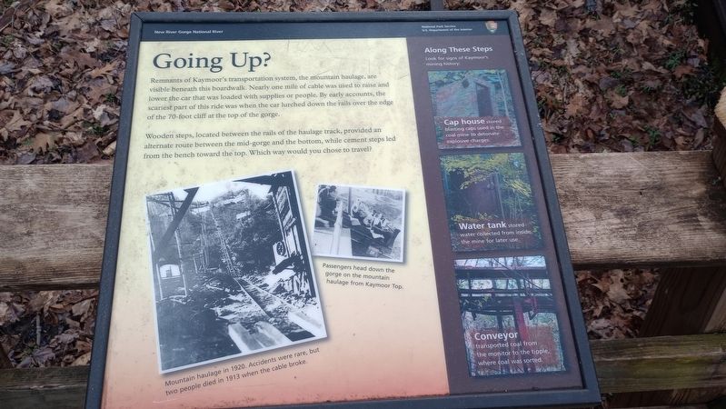
Going Up?
New River Gorge National River
— National Park Service, U.S. Department of the Interior —
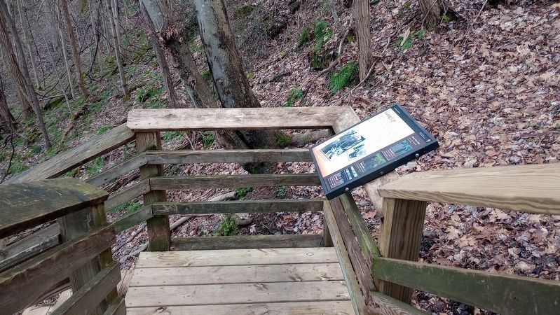
Remnants of Kaymoor's transportation system, the mountain haulage, are visible beneath this boardwalk. Nearly one mile of cable was used to raise and lower the car that was loaded with supplies or people. By early accounts, the scariest part of this ride was when the car lurched down the rails over the edge of the 70-foot cliff at the top of the gorge.
Wooden steps, located between the rails of the haulage track, provided an alternate route between the mid-gorge and the bottom, while cement steps from the bench toward the top. Which way would you chose to travel?
Erected by National Park Service, U.S. Department of the Interior.
Topics. This historical marker is listed in these topic lists: Architecture • Industry & Commerce.
Location. 38° 2.87′ N, 81° 3.885′ W. Marker is in Kaymoor, West Virginia, in Fayette County. Marker is on Kaymoor Miners Trail east of Kaymoor Trail, on the right when traveling east. Touch for map. Marker is at or near this postal address: 886 Kaymoor Miners Trail, Fayetteville WV 25840, United States of America. Touch for directions.
Other nearby markers. At least 8 other markers are within walking distance of this marker. A Busy Bench (about 400 feet away, measured in a direct line); Getting Coal Down (about 500 feet away); From Top to Bottom (about 500 feet away); Protecting Bats (about 500 feet away); Valuable Air (about 500 feet away); Kaymoor Bottom (approx. 0.2 miles away); Mountain Haulage (approx. ¼ mile away); Kaymoor One Mine (approx. ¼ mile away). Touch for a list and map of all markers in Kaymoor.
Credits. This page was last revised on March 14, 2024. It was originally submitted on March 7, 2024, by Craig Doda of Napoleon, Ohio. This page has been viewed 38 times since then. Photos: 1, 2. submitted on March 7, 2024, by Craig Doda of Napoleon, Ohio. • Devry Becker Jones was the editor who published this page.

