Thurmond in Fayette County, West Virginia — The American South (Appalachia)
Bridging the New
New River Gorge National River
— National Park Service, U.S. Department of the Interior —
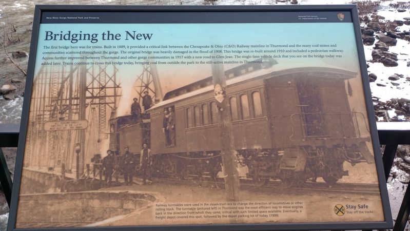
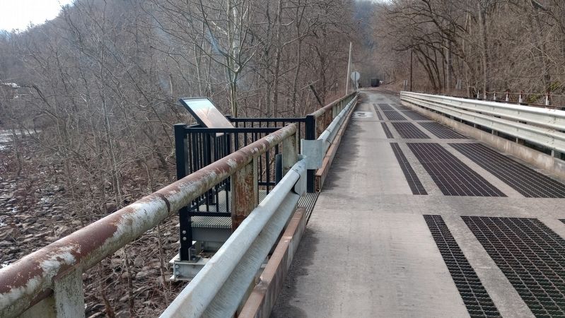
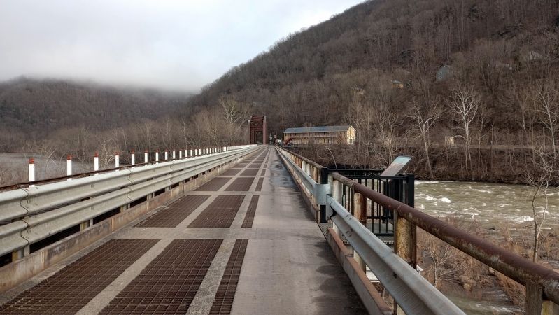
The first bridge here was for trains. Built in 1889, it provided a critical link between the Chesapeake & Ohio (C&O) Railway mainline in Thurmond and the many coal mines and communities scattered throughout the gorge. The original bridge was heavily damaged in the flood of 1908. This bridge was re-built around 1910 and included a pedestrian walkway. Access further improved between Thurmond and other gorge communities in 1917 with a new road to Glen Jean. The single-lane vehicle deck that you see on the bridge today was added later. Trains continue to cross this bridge today, bringing coal from outside the park to the still-active mainline in Thurmond.
[Caption:]
Railway turntables were used in the steam-train era to change the direction of locomotives or other rolling stock. The turntable (pictured left) in Thurmond was the most efficient way to move engines back in the direction from which they came, critical with such limited space available. Eventually, a freight depot covered this spot, followed by the depot parking lot of today. (1900)
Erected by National Park Service, U.S. Department of the Interior.
Topics. This historical marker is listed in these topic lists: Bridges & Viaducts • Industry & Commerce • Railroads & Streetcars. A significant historical year for this entry is 1889.
Location. 37° 57.299′ N, 81° 4.729′ W. Marker is in Thurmond, West Virginia, in Fayette County. Marker is on Thurmond Road (County Route 25/2) 0.1 miles north of McKendree Road (County Road 25), on the right when traveling north. Touch for map. Marker is at or near this postal address: 51 Thurmond Road, Oak Hill WV 25901, United States of America. Touch for directions.
Other nearby markers. At least 8 other markers are within walking distance of this marker. Over the River (about 700 feet away, measured in a direct line); Where It All Starts (about 800 feet away); New River Gorge National River (approx. 0.2 miles away); Thurmond, West Virginia (approx. 0.2 miles away); A Railroad Town (approx. 0.2 miles away); 1869 (approx. 0.2 miles away); 1873 (approx. 0.2 miles away); a different marker also named 1873 (approx. 0.2 miles away). Touch for a list and map of all markers in Thurmond.
Credits. This page was last revised on March 14, 2024. It was originally submitted on March 7, 2024, by Craig Doda of Napoleon, Ohio. This page has been viewed 46 times since then. Photos: 1, 2, 3. submitted on March 7, 2024, by Craig Doda of Napoleon, Ohio. • Devry Becker Jones was the editor who published this page.


