Corktown in Hamilton, Ontario — Central Canada (North America)
Brock Stepped Here
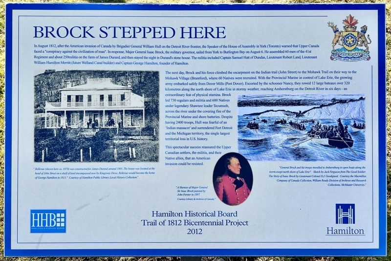
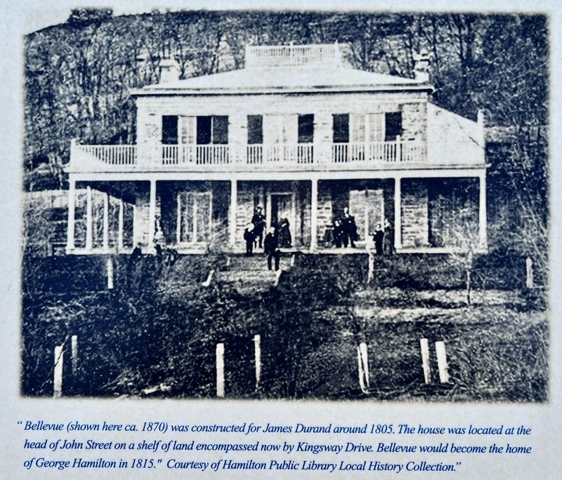
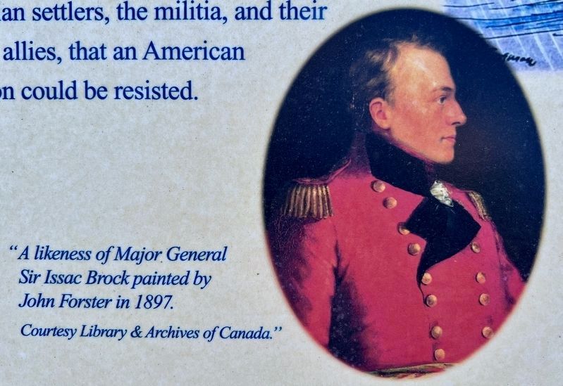
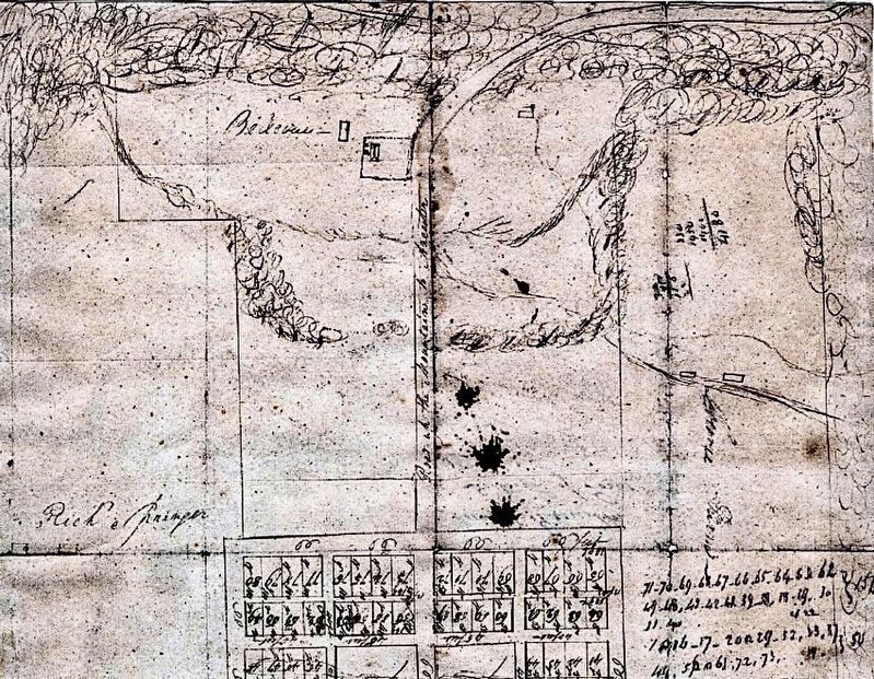
In August 1812, after the American invasion of Canada by Brigadier General William Hull on the Detroit River frontier, the Speaker of the House of Assembly in York (Toronto) warned that Upper Canada faced a "conspiracy against the civilization of man". In response, Major General Isaac Brock, the military governor, sailed from York to Burlington Bay on August 6. He assembled 60 men of the 41st Regiment and about 250 militia on the farm of James Durand, and then stayed the night in Durand's stone house. The militia included Captain Samuel Hatt of Dundas, Lieutenant Robert Land, Lieutenant William Hamilton Merritt (future Welland Canal builder) and Captain George Hamilton, founder of Hamilton.
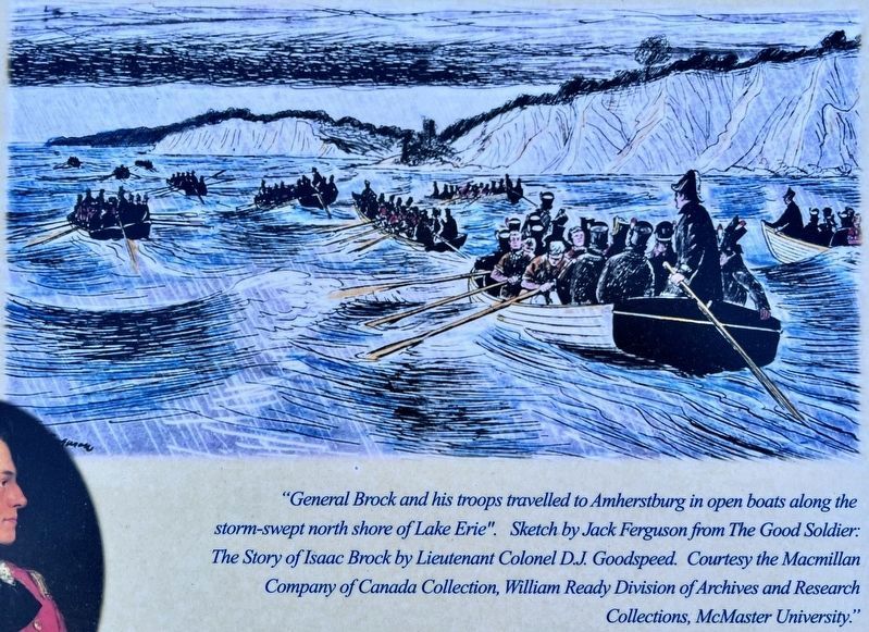
The next day, Brock and his force climbed the escarpment on the Indian trail (John Street) to the Mohawk Trail on their way to the Mohawk Village (Brantford), where 60 Natives were recruited. With the Provincial Marine in control of Lake Erie, the growing army embarked safely from Dover Mills (Port Dover). Escorted by the schooner Nancy, they rowed 12 large bateaux over 320 kilometres along the north shore of Lake Erie in stormy weather, reaching Amherstburg on the Detroit River in six days - an extraordinary feat of physical stamina. Brock led 730 regulars and militia and 600 Natives under legendary Shawnee leader Tecumseh, across the river under the covering fire of the Provincial Marine and shore batteries. Despite having 2400 troops, Hull was fearful of an 'Indian massacre' and surrendered Fort Detroit and the Michigan territory, the single largest territorial loss in U.S. history.
This spectacular success reassured the Upper Canadian settlers, the militia, and their Native allies, that an American invasion could be resisted.
Erected 2012 by Hamilton Historical Board.
Topics. This historical marker is listed in these topic lists: Patriots & Patriotism • War of 1812. A significant historical year for this entry is 1812.
Location. 43° 14.861′ N, 79° 52.167′ W. Marker is in Hamilton, Ontario. It is in Corktown. Marker is at the intersection of John Street South and St. Joseph’s Drive, on the right when traveling north on John Street South. Touch for map. Marker is at or near this postal address: 319 John Street S, Hamilton ON L8N L8N, Canada. Touch for directions.
Other nearby markers. At least 8 other markers are within walking distance of this marker. The Niagara Escarpment (approx. 0.4 kilometers away); Friend of the Greenbelt- The Honourable William Grenville Davis (approx. 0.4 kilometers away); Sandyford Place (approx. 0.6 kilometers away); Mountain View Hotel (approx. 0.6 kilometers away); The Incline Railway (approx. 0.6 kilometers away); The Toronto, Hamilton & Buffalo Railway (approx. 0.7 kilometers away); MacNab-Charles Heritage Conservation District (approx. 0.7 kilometers away); The United Empire Loyalists (approx. 0.8 kilometers away). Touch for a list and map of all markers in Hamilton.
Also see . . . War of 1812 - Sir Isaac Brock: a Biography.
Of the military leaders who emerged from the brief and bitter conflict known as the War of 1812, few have been able to carve a reputation for themselves as bold, imaginative and inspiring leaders. Isaac Brock, however, personified these qualities in a military career that spanned three decades.(Submitted on March 7, 2024, by Tim Boyd of Hamilton, Ontario.)
Credits. This page was last revised on March 7, 2024. It was originally submitted on March 7, 2024, by Tim Boyd of Hamilton, Ontario. This page has been viewed 37 times since then. Photos: 1, 2, 3, 4, 5, 6. submitted on March 7, 2024, by Tim Boyd of Hamilton, Ontario. • Andrew Ruppenstein was the editor who published this page.
