Rothenburg ob der Tauber in Ansbach, Bavaria, Germany — Central Europe
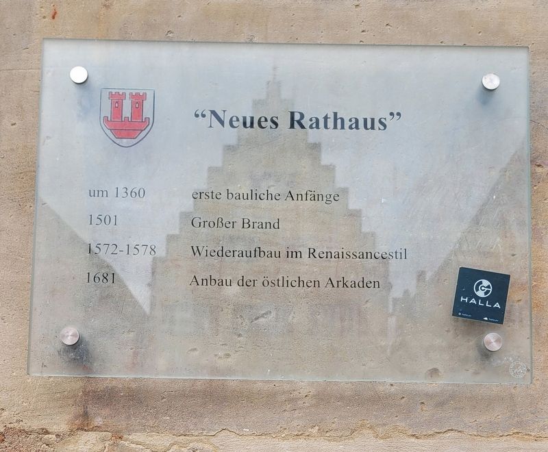
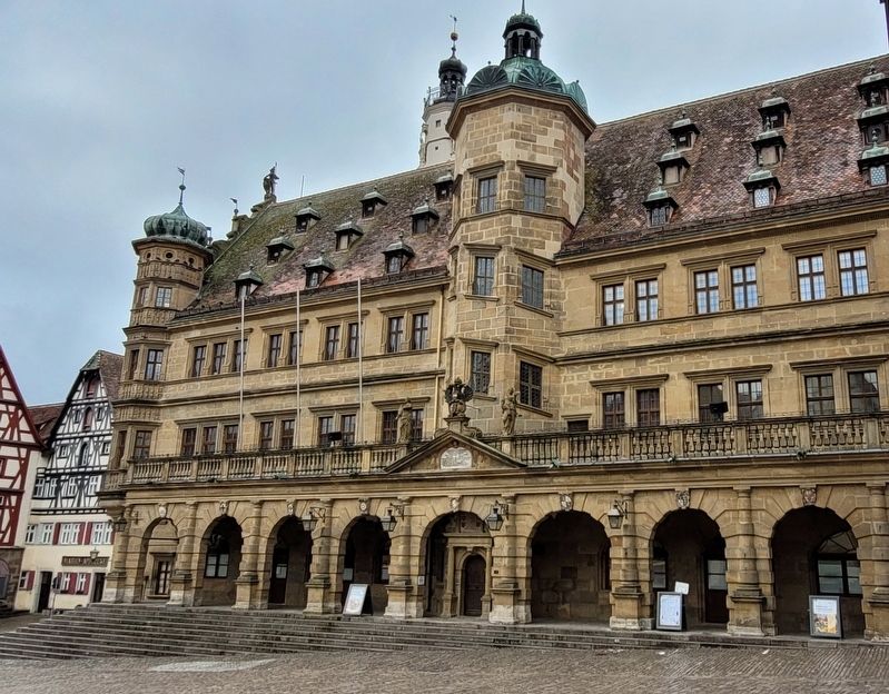
Neues Rathaus / New Town Hall
um 1360 erste bauliche Anfänge
1501 Großer Brand
1572-1578 Wiederaufbau im Renaissancestil
1681 Anbau der östlichen Arkaden
around 1360 first structural beginnings
1501 Big fire
1572-1578 Reconstruction in Renaissance style
1681 Extension of the eastern arcades
Topics. This historical marker is listed in this topic list: Notable Buildings. A significant historical year for this entry is 1360.
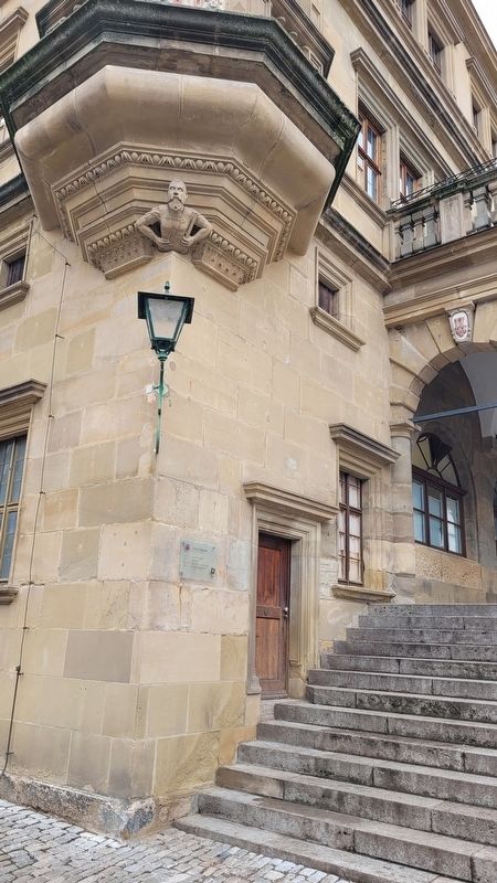
Location. 49° 22.625′ N, 10° 10.728′ E. Marker is in Rothenburg ob der Tauber, Bayern (Bavaria), in Ansbach. Marker is at the intersection of Marktplatz and Herrngasse, on the right when traveling south on Marktplatz. The marker is located along the southwestern corner of the building. Touch for map. Marker is at or near this postal address: Marktpl 5, Rothenburg ob der Tauber BY 91541, Germany. Touch for directions.
Other nearby markers. At least 8 other markers are within walking distance of this marker. Fleischhaus / Meat House (within shouting distance of this marker); Altes Rathaus / Old Town Hall (within shouting distance of this marker); Maximilian I (within shouting distance of this marker); Christian I (within shouting distance of this marker); Heinr. Toppler (within shouting distance of this marker); St.-Michaels-Kapelle Rothenburg ob der Tauber / St Michaels Chapel (about 90 meters away, measured in a direct line); St. Jakob's Church World War I Memorial (about 120 meters away); Rabbi Meir ben Baruch von Rothenburg (about 120 meters away). Touch for a list and map of all markers in Rothenburg ob der Tauber.
Also see . . . Rothenburg ob der Tauber. Wikipedia
Rothenburg ob der Tauber is a town in the district of Ansbach of Mittelfranken (Middle Franconia), the Franconia region of Bavaria, Germany. It is well known for its well-preserved medieval old town, a destination for tourists from around the world. It is part of the popular Romantic Road through southern Germany. Today it is one of only three towns in Germany that still have completely intact city walls, the other two being Nördlingen and Dinkelsbühl, both also in Bavaria.(Submitted on March 10, 2024, by James Hulse of Medina, Texas.)
Credits. This page was last revised on March 10, 2024. It was originally submitted on March 9, 2024, by James Hulse of Medina, Texas. This page has been viewed 40 times since then. Photos: 1, 2, 3. submitted on March 10, 2024, by James Hulse of Medina, Texas.


