Rothenburg ob der Tauber in Ansbach, Bavaria, Germany — Central Europe
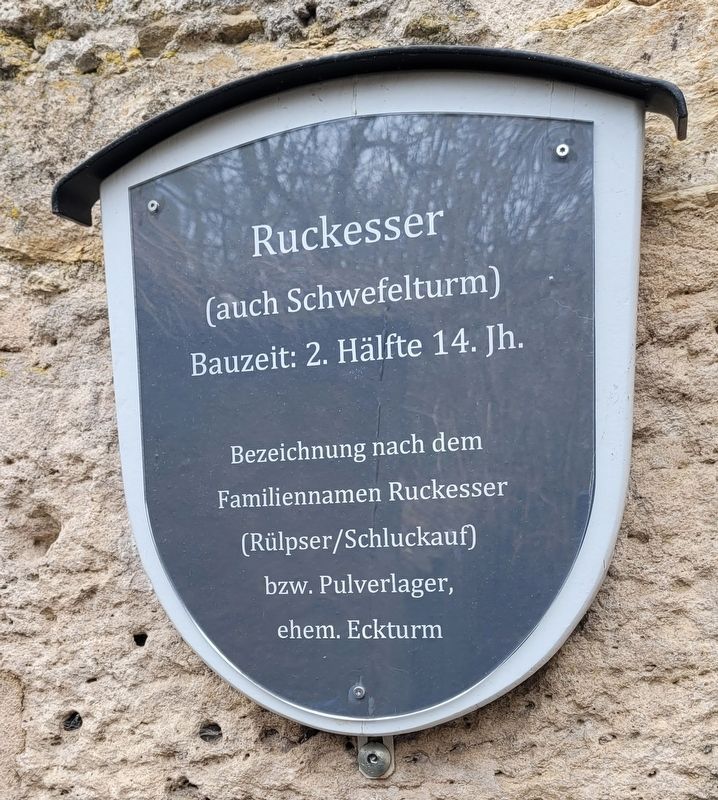
Ruckesser
Bauzeit: 2. Hälfte 14. Jh.
Bezeichnung nach dem Familiennamen
Ruckesser
(Rülpser/Schluckauf)
bzw. Pulverlager,
ehem. Eckturm
Construction period: 2nd half of the 14th century.
Name after the family name
Ruckesser
(Rülpser/Hiccup)
or powder warehouse,
former corner tower
Topics. This historical marker is listed in these topic lists: Forts and Castles • Industry & Commerce.
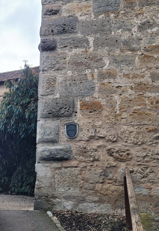
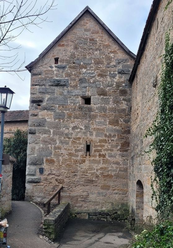
Location. 49° 22.453′ N, 10° 10.861′ E. Marker is in Rothenburg ob der Tauber, Bayern (Bavaria), in Ansbach. Marker can be reached from Röderschütt, 0.1 kilometers east of Spitalgasse. The marker is located on the east wall of the Ruckesse Tower. Touch for map. Marker is at or near this postal address: Röderschütt 5, Rothenburg ob der Tauber BY 91541, Germany. Touch for directions.
Other nearby markers. At least 8 other markers are within walking distance of this marker. Sieberstorturm / Siebers Gate Tower (within shouting distance of this marker); Faulturm (about 120 meters away, measured in a direct line); Schwefelturm / Sulfur Tower (about 210 meters away); St. Johanniskirche (röm.-kath.) / (St. John's church) (about 210 meters away); Georg Nusch (about 210 meters away); Hohennersturm (approx. 0.3 kilometers away); Heinr. Toppler (approx. 0.3 kilometers away); Büttelhaus / Bailiff's House (approx. 0.3 kilometers away). Touch for a list and map of all markers in Rothenburg ob der Tauber.
Also see . . . Town wall and town gates. Rothenburg ob der Tauber (Submitted on March 11, 2024, by James Hulse of Medina, Texas.)
Credits. This page was last revised on March 11, 2024. It was originally submitted on March 11, 2024, by James Hulse of Medina, Texas. This page has been viewed 30 times since then. Photos: 1, 2, 3. submitted on March 11, 2024, by James Hulse of Medina, Texas.


