Charleston in Charleston County, South Carolina — The American South (South Atlantic)
Federal Building
(front)
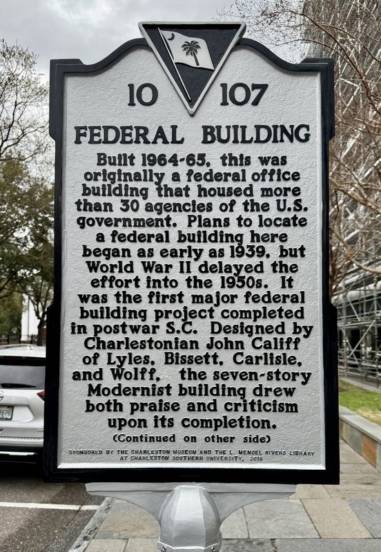
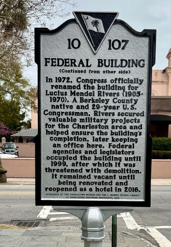
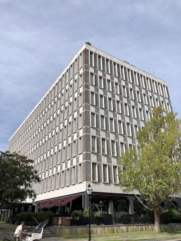
Built 1964-65, this was originally a federal office building that housed more than 30 agencies of the U.S. government. Plans to locate a federal building here began as early as 1939, but World War Il delayed the effort into the 1950s. It was the first major federal building project completed in postwar S.C. Designed by Charlestonian John Califf of Lyles, Bissett, Carlisle, and Wolff, the seven-story Modernist building drew both praise and criticism upon its completion.
Erected 2019 by The Charleston Museum and the L. Mendel Rivers Library at Charleston Southern University. (Marker Number 10-107.)
Topics. This historical marker is listed in this topic list: Architecture . A significant historical year for this entry is 1964.
Location. 32° 47.285′ N, 79° 56.1′ W. Marker is in Charleston, South Carolina, in Charleston County. Marker is at the intersection of Meeting Street and Charlotte Street, on the right when traveling north on Meeting Street. The marker is located at the northwest corner of the Dewberry Charleston. Touch for map. Marker is at or near this postal address: 334 Meeting Street, Charleston SC 29403, United States of America. Touch for directions.
Other nearby markers. At least 8 other markers are within walking distance of this marker. Wragg Square (a few steps from this marker); The Joseph Manigault House (within shouting distance of this marker); Wade Hampton Monument (within shouting distance of this marker); The Charleston Museum's Joseph Manigault House (about 400 feet away, measured in a direct line); The 1780 Siege of Charleston (about 400 feet away); At the Center of the Siege (about 400 feet away); Surrender, then Victory (about 400 feet away); South Carolina Veterans Flagpole (about 400 feet away). Touch for a list and map of all markers in Charleston.
Also see . . .
1. A “Cold” Office Building becomes an inviting Hotel in Charleston. (Submitted on March 4, 2024, by Brandon D Cross of Flagler Beach, Florida.)
2. Downtown building dedicated with historic marker. (Submitted on March 4, 2024, by Brandon D Cross of Flagler Beach, Florida.)
Credits. This page was last revised on March 11, 2024. It was originally submitted on March 4, 2024. This page has been viewed 60 times since then. Last updated on March 11, 2024. Photos: 1, 2, 3. submitted on March 4, 2024, by Brandon D Cross of Flagler Beach, Florida. • Bernard Fisher was the editor who published this page.


