Charleston in Charleston County, South Carolina — The American South (South Atlantic)
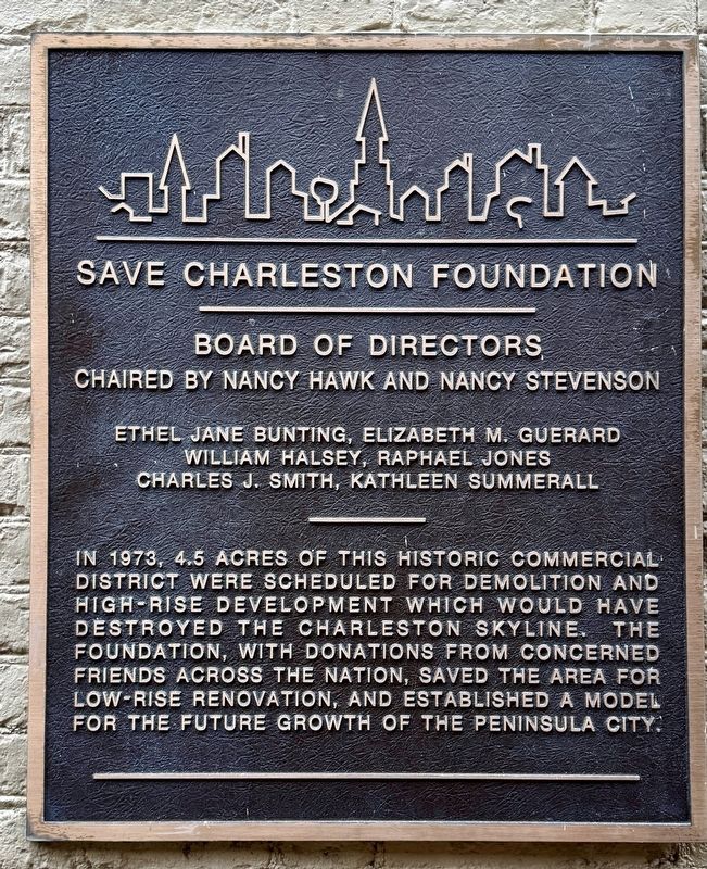
Save Charleston Foundation
Board of Directors
Chaired by Nancy Hawk and Nancy Stevenson
Ethel Jane Bunting, Elizabeth M. Guerard, William Halsey, Raphael Jones, Charles J. Smith, Kathleen Summerall
In 1973, 4.5 acres of this Historic Commercial District were scheduled for demolition and high-rise development which would have destroyed the Charleston skyline. The foundation, with donations from concerned friends across the nation, saved the area for low-rise renovation, and established a model for the future growth of the Peninsula City.
Erected by Save Charleston Foundation.
Topics. This historical marker is listed in this topic list: Architecture. A significant historical year for this entry is 1973.
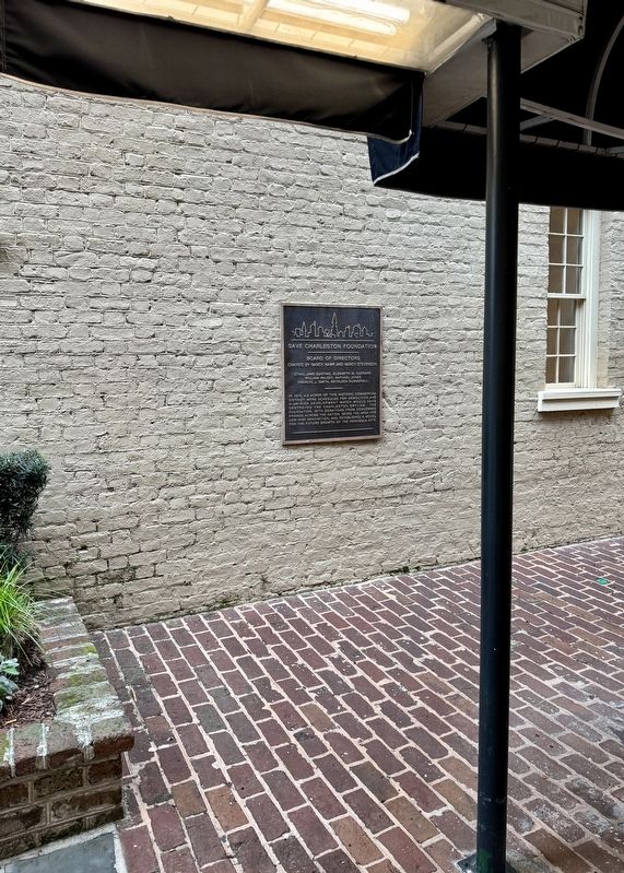
Location. 32° 46.783′ N, 79° 55.637′ W. Marker is in Charleston, South Carolina, in Charleston County. Marker is at the intersection of East Bay Street (Business U.S. 52) and Lodge Alley, on the right when traveling east on East Bay Street. Touch for map. Marker is at or near this postal address: 195 East Bay Street, Charleston SC 29401, United States of America. Touch for directions.
Other nearby markers. At least 8 other markers are within walking distance of this marker. U.S. Custom House (about 400 feet away, measured in a direct line); Elizabeth Timothy (about 400 feet away); The Site of Craven Bastion (about 400 feet away); 8 Queen Street (about 500 feet away); Wagner-Trott Building (about 500 feet away); Charleston City Market (about 500 feet away); Historical Sketch (about 500 feet away); Slave Trading Complex (about 600 feet away). Touch for a list and map of all markers in Charleston.
Also see . . . Historic Charleston Foundation. (Submitted on March 9, 2024, by Brandon D Cross of Flagler Beach, Florida.)
Credits. This page was last revised on March 11, 2024. It was originally submitted on March 9, 2024. This page has been viewed 49 times since then. Last updated on March 11, 2024. Photos: 1, 2. submitted on March 9, 2024, by Brandon D Cross of Flagler Beach, Florida. • Bernard Fisher was the editor who published this page.

