F1 in Mannheim, Baden-Württemberg, Germany — Central Europe
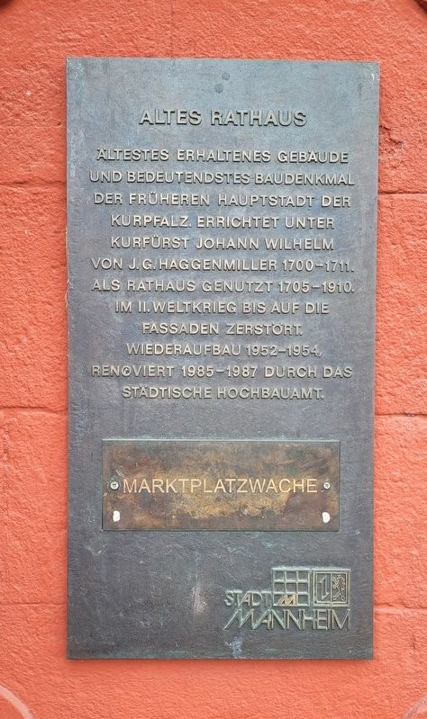
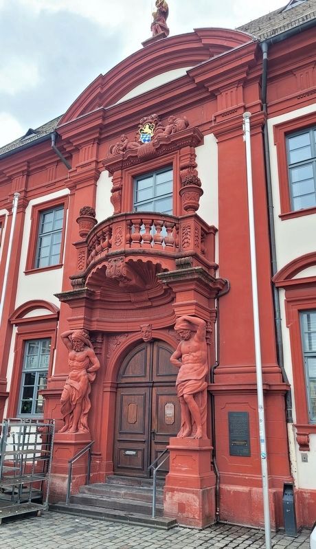
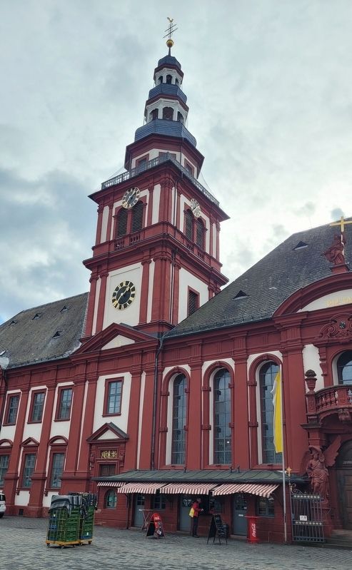
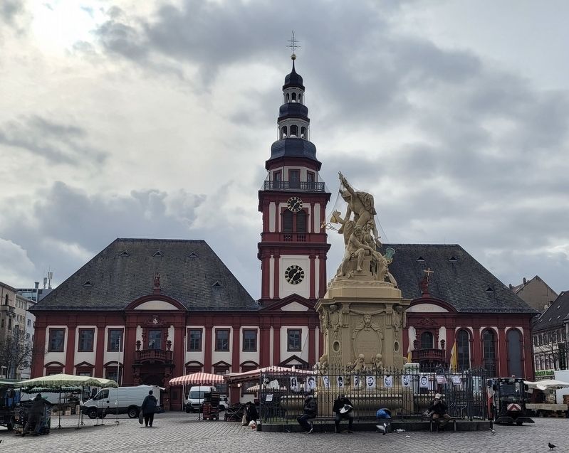
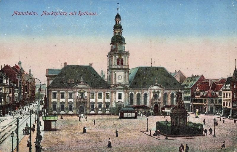
Altes Rathaus / Old Town Hall
Altestes erhaltenes gebäude und bedeutendstes baudenkmal der früheren hauptstadt der kurpfalz. Errichtet unter kurfürst Johann Wilhelm von J.G. Haggenmiller 1700-1711. Als Rathaus genutzt 1705-1910. Im II. Weltkrieg bis auf die fassaden zerstört. Wiederaufbau 1952-1954, renoviert 1985-1987 durch das Städtische hochbauamt.
Marktplatzwache
Oldest preserved building and most important architectural monument of the former capital of the Electoral Palatinate. Built under Elector Johann Wilhelm by J.G. Haggenmiller 1700-1711. Used as a town hall 1705-1910. Destroyed except for the facades in World War II. Reconstruction 1952-1954, renovated 1985-1987 by the Municipal Building Authority.
Marketplace Guard
Erected by Stad Mannheim.
Topics. This historical marker is listed in this topic list: Notable Buildings.
Location. 49° 29.352′ N, 8° 28.03′ E. Marker is in Mannheim, Baden-Württemberg. It is in F1. Marker is at the intersection of F1 and Kurpfalzstraße, on the left when traveling west on F1. The marker is located next to the entrance to the building. Touch for map. Marker is at or near this postal address: F1 5, Mannheim BW 68159, Germany. Touch for directions.
Other nearby markers. At least 8 other markers are within walking distance of this marker. Die Klaussynagoge / The Klaus Synagogue (within shouting distance of this marker); Marktplatzbrunnen / Market Square Fountain (within shouting distance of this marker); Harmonie-gesellschaft / Harmony Society (about 180 meters away, measured in a direct line); Bierbraukunst und Wirtshäuser in P 2 / Beer Brewing and Taverns in P 2 (about 210 meters away); Badische Bank O 4, 4 (approx. 0.3 kilometers away); Strohmarkt und Planken / Straw Market and Planks (approx. 0.4 kilometers away); Carl Benz (approx. 0.6 kilometers away); Werner von Siemens (approx. 0.6 kilometers away). Touch for a list and map of all markers in Mannheim.
Also see . . . Altes Rathaus (Mannheim). Wikipedia German Language (Submitted on March 13, 2024, by James Hulse of Medina, Texas.)
Credits. This page was last revised on March 13, 2024. It was originally submitted on March 12, 2024, by James Hulse of Medina, Texas. This page has been viewed 40 times since then. Photos: 1, 2, 3, 4. submitted on March 13, 2024, by James Hulse of Medina, Texas. 5. submitted on March 13, 2024.
