Wright in Campbell County, Wyoming — The American West (Mountains)
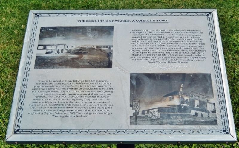
The Beginning of Wright, a Company Town
"By mid-century most corporations wished to place themselves at arms length from the "company town" concept, in some cases it was neither possible nor desirable. A need existed. Many employees opposed being on the road for hours; they wanted to be housed reasonably close to their place of employment. Some corporations realized it still made economic sense to provide facilities near the mine or mill, especially in regions where winter blizzards often forced road closures. In their search for a solution they slowly came to the conclusion that short range involvement could be the answer. The company could act as a real estate developer. If they could purchase the land, plan the community, acquire the permits, build the town infrastructure, and then sell lots for houses and space for surfaces, then perhaps they could get the job done while avoiding the infamy of paternalism. (Righter, Robert W. (1985). The making of a town: Wright, Wyoming. Roberts Rinehart)."
"It would be appealing to say that while the other companies floundered and vacillated, Atlantic Richfield moved with a perfect purpose towards the creation of a new town, but such was not the case for well over a year. The Synthetic Crude Division leaders talked, both formally and informally, about their problem. They were gearing up to construct and operate massive mines and plants, employing hundreds, if not thousands, of employees in isolated regions of western Colorado and northern Wyoming. They did not want the adverse publicity that house trailers strewn across the countryside might bring, nor could they tolerate incompetent, transient employees. They wanted to attract the best worker they could, and that required an effort somewhat foreign to executives trained in mining and engineering (Righter, Robert W. (1985). The making of a town: Wright, Wyoming. Roberts Rinehart)."
Topics. This historical marker is listed in these topic lists: Industry & Commerce • Settlements & Settlers.
Location. 43° 45.788′ N, 105° 28.91′ W. Marker is in Wright, Wyoming, in Campbell County. Marker can be reached from the intersection of State Highway 387 and Ranch Drive, on the right when traveling west. Marker is located on the Wright Visitor Center & Centennial Museum grounds. Touch for map. Marker is at or near this postal address: 15089 Wyoming Highway 387, Wright WY 82732, United States of America. Touch for directions.
Other nearby markers. At least 7 other markers are within walking distance of this marker. Ranching in Wyoming (within shouting distance of this marker); Tertiary (Paleogene) Period (about 300 feet away, measured in a direct line); The Building of Wright, Wyoming (about 300 feet away); The Beginning of Coal Mining in Wyoming
(about 300 feet away); Veterans Memorial (about 400 feet away); Underground Mining with Children (about 400 feet away); Lectra Haul Unit Rig (approx. 0.2 miles away).
Also see . . . Wright and the Black Thunder Mine (WyoHistory.org). Excerpt:
In 1976, Atlantic Richfield began to create the town of Wright for its employees, near Reno Junction at the intersection of Wyoming Highways 387 and 59. Before 1976, there were only two buildings at the junction: the Three-Way Stretch gas station and the Long Branch Saloon. From the beginning, and despite starting with mobile homes, ARCO officials displayed a vision beyond the early 20th-century, company-town model of company-store scrip and rows of identical houses for workers. In 1975, consultants and developers were hired to study the problems inherent in providing housing and community services such as schools and medical care. The planning team also considered the addition of parks and a community center. The final proposal for housing included 1,381 houses and 500 mobile homes, at an estimated cost to ARCO of more than $14 million.(Submitted on March 14, 2024, by Cosmos Mariner of Cape Canaveral, Florida.)
Credits. This page was last revised on March 14, 2024. It was originally submitted on March 14, 2024, by Cosmos Mariner of Cape Canaveral, Florida. This page has been viewed 58 times since then. Photos: 1, 2. submitted on March 14, 2024, by Cosmos Mariner of Cape Canaveral, Florida.

