Gulfport in Harrison County, Mississippi — The American South (East South Central)
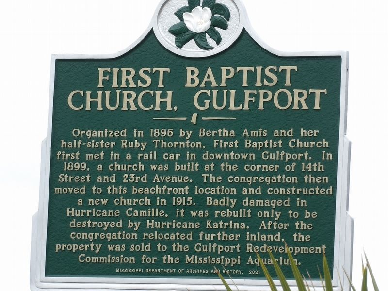
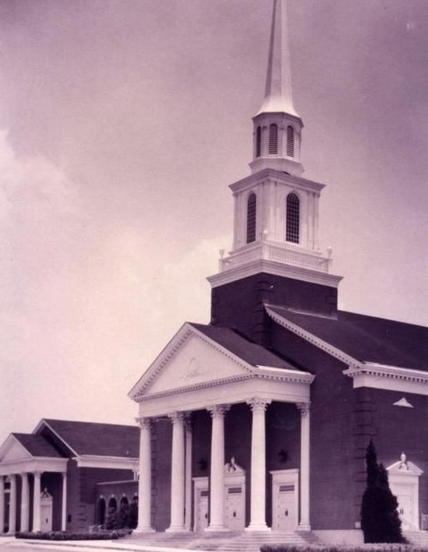
First Baptist Church, Gulfport
Erected 2021 by Mississippi Department of Archives and History.
Topics and series. This historical marker is listed in this topic list: Churches & Religion. In addition, it is included in the Mississippi State Historical Marker Program series list. A significant historical year for this entry is 1896.
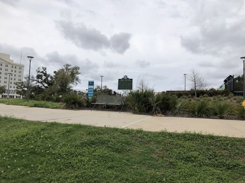
Location. 30° 22.038′ N, 89° 5.334′ W. Marker is in Gulfport, Mississippi, in Harrison County. Marker is on a frontage road on north side of East Beach Blvd, 0.2 miles west of 20th Avenue, on the right when traveling west. Touch for map. Marker is at or near this postal address: 2100 E Beach Blvd, Gulfport MS 39501, United States of America. Touch for directions.
Other nearby markers. At least 8 other markers are within one mile of this marker, measured as the crow flies. 1863 East Pascagoula Raid (approx. 0.2 miles away); Ship Island (approx. 0.2 miles away); Old Gulfport High School (approx. 0.2 miles away); The Magnolia Route (approx. ¼ mile away); Harrison County Confederate Monument (approx. 0.4 miles away); Kellier-Sternberg House (approx. half a mile away); Gulfport Civil Rights Wade-In (approx. 0.6 miles away); St. Therese Parish Hall (approx. 1.1 miles away). Touch for a list and map of all markers in Gulfport.
Also see . . . Our Story. In the months before September 1896, eighteen-year-old Bertha Amis organized and taught a non-denominational Sunday School class for youth. In good weather, the class met under live oak trees and at other times in a railway car that was side-tracked on Sundays. (First Baptist Gulfport) (Submitted on March 16, 2024, by Duane and Tracy Marsteller of Murfreesboro, Tennessee.)
Credits. This page was last revised on March 16, 2024. It was originally submitted on March 16, 2024, by Duane and Tracy Marsteller of Murfreesboro, Tennessee. This page has been viewed 36 times since then. Photos: 1, 2, 3. submitted on March 16, 2024, by Duane and Tracy Marsteller of Murfreesboro, Tennessee.


