Bay St. Louis in Hancock County, Mississippi — The American South (East South Central)
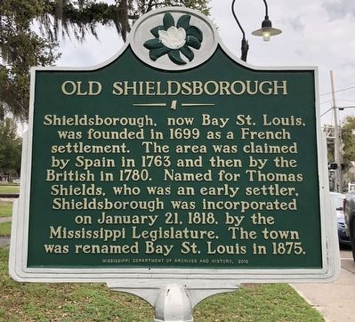
Old Shieldsborough
Erected 2018 by Mississippi Department of Archives and History.
Topics and series. This historical marker is listed in this topic list: Settlements & Settlers. In addition, it is included in the Mississippi State Historical Marker Program series list. A significant historical year for this entry is 1699.
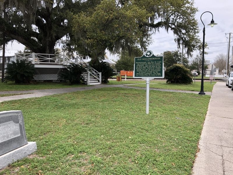
Location. 30° 18.544′ N, 89° 19.797′ W. Marker is in Bay St. Louis, Mississippi, in Hancock County. Marker is on South 2nd Street north of City Park Avenue, on the left when traveling north. Marker is near the bandstand in Carol Vegas Park. Touch for map. Marker is at or near this postal address: 302 S 2nd St, Bay Saint Louis MS 39520, United States of America. Touch for directions.
Other nearby markers. At least 8 other markers are within walking distance of this marker. Our Lady of the Gulf (approx. 0.2 miles away); St. Joseph's Academy (approx. 0.2 miles away); Publius Rutilius Rufus Pray (approx. 0.2 miles away); St. Stanislaus College (approx. 0.2 miles away); First Baptist Church of Bay St. Louis (approx. 0.2 miles away); Jean Baptiste le Moyne Siuer de Bienville (approx. ¼ mile away); Hancock County Bank (approx. ¼ mile away); 100 Men D.B.A. Hall (approx. 0.3 miles away). Touch for a list and map of all markers in Bay St. Louis.
Also see . . . A Brief History of Bay St. Louis. Bay Saint Louis was incorporated by the first act of the first legislature of the State of Mississippi on January 4, 1818. (The city was called Shieldsboro from 1802 until the name Bay Saint Louis was restored by the legislature in 1875.) (Hancock County Historical Society) (Submitted on March 16, 2024, by Duane and Tracy Marsteller of Murfreesboro, Tennessee.)
Credits. This page was last revised on March 16, 2024. It was originally submitted on March 16, 2024, by Duane and Tracy Marsteller of Murfreesboro, Tennessee. This page has been viewed 50 times since then. Photos: 1, 2. submitted on March 16, 2024, by Duane and Tracy Marsteller of Murfreesboro, Tennessee.

