Leeds in Washington County, Utah — The American Mountains (Southwest)
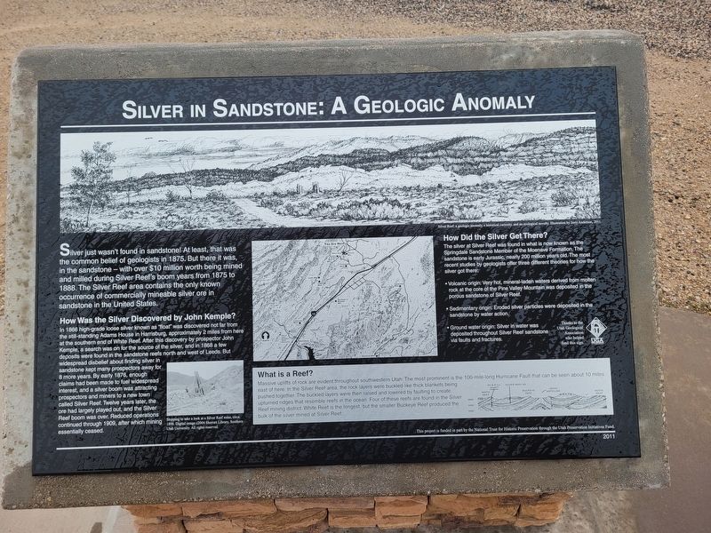
Silver in Sandstone: A Geologic Anomaly
Silver just wasn't found in sandstone! At least, that was the common belief of geologists in 1875. But there it was, in the sandstone-with over $10 million worth being mined and milled during Silver Reef's boom years from 1875 to 1888. The Silver Reef area contains the only known occurrence of commercially mineable silver ore in sandstone in the United States.
How Was the Silver Discovered by John Kemple?
In 1866 high-grade loose silver known as "float" was discovered not far from the still-standing Adams House in Harrisburg, approximately 2 miles from here at the southern end of White Reef. After this discovery by prospector John Kemple, a search was on for the source of the silver, and in 1868 a few deposits were found in the sandstone reefs north and west of Leeds. But widespread disbelief about finding silver in sandstone kept many prospectors away for 8 more years. By early 1876, enough claims had been made to fuel widespread interest, and a silver boom was attracting prospectors and miners to a new town called Silver Reef. Twelve years later, the ore had largely played out, and the Silver Reef boom was over. Reduced operations continued through 1909, after which mining essentially ceased.
What is a Reef?
Massive uplifts of rock are evident throughout southwestern Utah. The most prominent is the 100 mile-long Hurricane Fault that can be seen about 10 miles east of here. In the Silver Reef area the rock layers were buckled like thick blankets being pushed together. The buckled layers we then raised and lowered by faulting to create upturned edges that resemble reefs in the ocean. Four of these reefs are found in the Silver Reef mining district. White Reef is the longest but the smaller Buckeye Reef produced the bulk of the silver mined at Silver Reef.
How Did the Silver Get There?
The silver at Silver Reef was found in what is now known as the Springdale Sandstone Member of the Moenave Formation. The sandstone is early Jurassic, nearly 200 million years old. The most recent studies by geologists offer tiree different theories for how the sver got there:
• Volcanic origin: Very hot, mineral-laden waters derived from molten rock at the core of the Pine Valley Mountain was deposited in the porous sandstone of Silver Fleet.
• Sedimentary origin: Eroded silver particles were deposited in the sandstone by water action.
• Ground water origin: Silver in water was deposited throughout Silver Reef sandstone via faults and fractures.
Thanks to the Utah Geological Association who helped fund this sign.
This project is funded in part by the National Trust for Historical Preservation through the Utah Preservation Initiative Fund.
Erected 2011.
Topics. This historical marker is listed in these topic lists: Industry & Commerce • Natural Resources. A significant historical year for this entry is 1866.
Location. 37° 15.156′ N, 113° 22.029′ W. Marker is in Leeds, Utah, in Washington County. Marker is on Silver Reef Road, on the left when traveling north. Touch for map. Marker is at or near this postal address: 1901 Silver Reef Road, Leeds UT 84746, United States of America. Touch for directions.
Other nearby markers. At least 8 other markers are within walking distance of this marker. On-Site Mills: A Silver Reef Necessity (here, next to this marker); Rice Bank Building (a few steps from this marker); Three Historic Towns (a few steps from this marker); Mile-long Main Street (within shouting distance of this marker); Wells Fargo and Company Express Building (within shouting distance of this marker); St. John's Church / Bishop Lawrence J. Scanlan (within shouting distance of this marker); Original Town Jail (about 400 feet away, measured in a direct line); Schoolhouse Site (about 700 feet away). Touch for a list and map of all markers in Leeds.
Credits. This page was last revised on March 18, 2024. It was originally submitted on March 18, 2024, by Jeremy Snow of Cedar City, Utah. This page has been viewed 62 times since then. Photo 1. submitted on March 18, 2024, by Jeremy Snow of Cedar City, Utah. • Andrew Ruppenstein was the editor who published this page.
